Gallery:A329
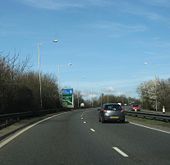
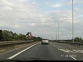
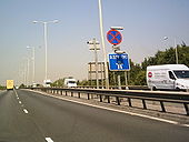
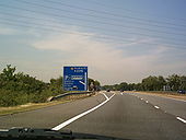
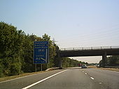
Approaching A329(M) from Bracknell on 22nd March 2008.
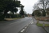
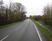
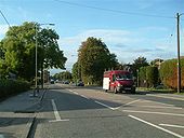
Originally uploaded to Coppermine on Mar 30, 2009 by YorklettsThis is where the old Reading road joins the new one if you follow the curve left you can see a green bush the old road went to the left of that.
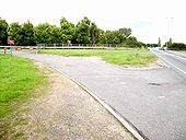
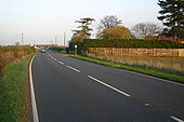
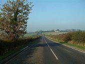
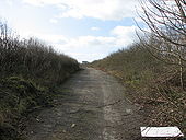
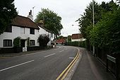
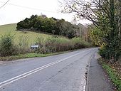
This is part of the old Reading Road looking towards Cholsey. it is generally used for stock-piling road chippings when they resurface. I'm standing beside a couple of large concrete blocks placed there to stop undesirables making use of it.
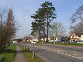
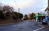
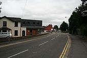
Looking along the A329 towards the mini roundabout with a car showroom on the left.
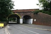
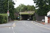
This rail bridge is part of the Brunel line that was first run through but if you look through the arch you can see the flat steel formed bridge of the fast line that was added.
Hazard markings show up bright on the rail bridge at Pangbourne. This seems normal on all bridges now. Mind you I would not want to hit one as it's a steel section the markings are on.
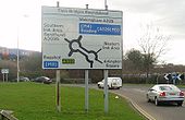
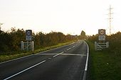
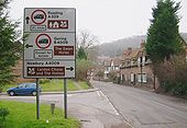
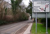
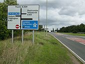
A picture of a roadsign at Streatley, which at first seems quite normal. But it is a very confusing roadsign due to being placed too far back from the junction it is referring to! The road to the left of this picture is just a cul de sac that leads to the Lardon Cottages, and NOT the B4009 into Goring, which according to a local resident of Streatley, causes endless wrong turnings by unfamiliar motorists! When viewed from this direction, this is easily understood. With another roadsign placed at the crossroads up ahead (just visible in background), this sign is unnecessary.
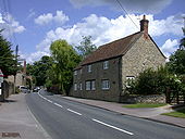
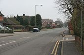
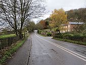
The Grotto is just up the road from here and Reading further on. The house over on the right was once an AA 3 star rated Hotel back in the 1960's.
In 1979 the railway bridge still carried the old Great Western Railway name board.
The nearest I have been able to get to a modern view at this point are <a href='http://www.geograph.org.uk/photo/609182'>SU7073 : Reading West bridge</a> <a href='http://www.geograph.org.uk/photo/609180'>SU7073 : Oxford Road</a>.
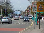
This major arterial route on the western side of town is somewhat cluttered with street furniture in the view towards the Reading West railway bridge.
The Huntley and Palmers office block has been demolished and the site is currently occupied by The Prudential <a href='http://www.geograph.org.uk/photo/633458'>SU7273 : King's Road, Reading</a>.
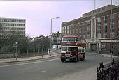
Service 100 was a special service which ran for 3 days to celebrate 100 years of 'The Main Line', running then as today between Oxford Road and Wokingham Road. Originally operating as a horse tramway between the Barracks and Cemetery Junction, it was operated successively by electric trams, trolleybuses - which saw the extension the route to Tilehust in the west and Three Tuns in the east in the 1930s - and finally motorbuses, which even today run to the same terminal points as the trolleybuses.
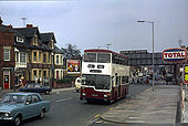
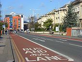
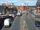
The bus lane makes for a speedy passage into the town centre for public transport users whilst private vehicles queue on London Road. The viewpoint is opposite the college. The colourful apartments are at the junction with Queen's Road.
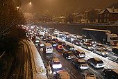
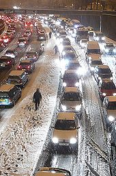
The snow seemed to particularly affect Northern Hampshire and Berkshire on this evening. This is the Inner Distribution Road, that is not distributing anything this evening. People I met later said they spent three hours travelling half an mile by car. Walking was definitely the best option.
The snow seemed to particularly affect Northern Hampshire and Berkshire on this evening. This is the Inner Distribution Road, that is not distributing anything this evening. People I met later said they spent three hours travelling half an mile by car.
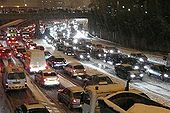
The snow seemed to particularly affect Northern Hampshire and Berkshire on this evening. This is the Inner Distribution Road, that is not distributing anything this evening. People I met later said they spent three hours travelling half a mile by car. Walking was definitely the best option.
The traffic queueing up along the Caversham Road, most likely on its way to The Oracle shopping centre.
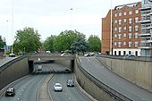
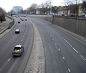
This is Reading's inner ring road, the IDR as it is usually known. It was built in 1970 and many houses were demolished to create it, as was the planning norm then. There have been various plans to break what is now a collar throttling the expansion of Reading town centre. To the left is the Chatham Place development, and one plan was to deck over this section to create an urban square, but the slip roads would have caused a problems. Another plan was to make the route one-way, giving extra space for cycles and pedestrians, but this has also been abandoned. To the right is Adelphi House, the Reading job centre. Mentioning this probably means I shall be emailed with lots of questions about employment now!
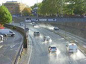
The sun comes out after rain highlighting spray on the dual carriageway south of the bridge on Oxford Road.
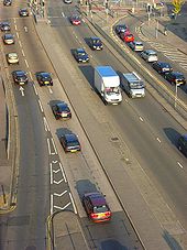
Part of Reading's ring-road at the traffic lights where it is crossed by London Street. This stretch is Mill Lane. The lane on the left has traffic filtering in from The Oracle and also anything that has come from Southampton Street or Bridge Street. The queue on the right is waiting to turn south onto London Street. The view was taken from the Oracle's multi-storey car park.
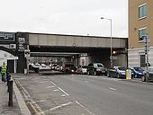
Looking down on this part of the 'Inner Distribution Road' from the Chatham Street/Friar Street roundabout. The traffic is being held up by the lights at the junction with Great Knollys Street, beyond which you can just make out the railway bridge.
Restricted access here. J8a for the other movements, presumably since the M40 extension opened in 1991.
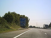
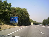
Originally uploaded to Coppermine on Oct 26, 2008 by SteveA30Only just joined the A329(M) & we coming to the end already. heading south towards bracknall
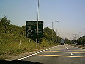
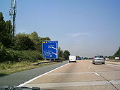
Originally uploaded to Coppermine on Jul 22, 2006 by andy31mMotorway finished already grrrrrrr might aswell do a U turn here & head back up north
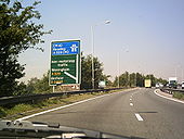
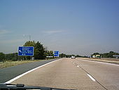
Originally uploaded to Coppermine on Jul 22, 2006 by andy31mNow done a U turn, heading back north towards reading & start of A329(M)
Originally uploaded to Coppermine on Jul 22, 2006 by andy31mthat sign looks very old. Looks like its big enough for anouther motorway later on but never happend (M31)
Originally uploaded to Coppermine on Jul 22, 2006 by andy31mI think we are on the motorway
Originally uploaded to Coppermine on Jul 22, 2006 by andy31mNow approaching J10 of M4 on the northbound side. turn of here for south wales
Originally uploaded to Coppermine on Jul 22, 2006 by andy31mjust passing over M4 J10 take next turn for London & M25
Originally uploaded to Coppermine on Jul 22, 2006 by andy31mPark & ride already !! only just got on here too. Have u noticed. No centre crash barrior either & guess what ------------
Originally uploaded to Coppermine on Jul 22, 2006 by andy31mapproaching the 1st proper motorway junction for the M4. Leave here for London, M25 or stay on for Wales & Bristol
Originally uploaded to Coppermine on Jul 22, 2006 by andy31m