Gallery:A338

From Roader's Digest: The SABRE Wiki
Jump to navigation Jump to search
A300-A399 > A338


This gallery has no child categories
A338
 
 
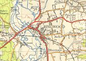
Ringwood-1954.jpg
Ringwood in 1954 This page contains scans from a map that is believed may be out of copyright according to UK Crown Copyright, UK Copyright Law for other maps published in the United Kingdom, or Irish Government Copyright, is not being used to generate profit in this context, and presents information that cannot be exhibited otherwise.
If the copyright holder considers this is an infringement of their rights, please contact the site management team to discuss further steps.
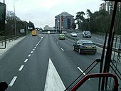
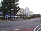
Bournemouth, Wessex Way - Geograph - 878809.jpg
Bournemouth: Wessex Way
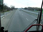
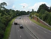
Bournemouth, town centre by-pass - Geograph - 495938.jpg
Bournemouth: town centre by-pass
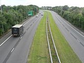
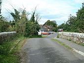
A338 Bournemouth Spur Road - Coppermine - 17567.jpg
A338 Bournemouth Spur Road

Since the late 1960s this dual carriageway has provided fast access to the Bournemouth conurbation from the A31 at Ringwood.

Originally uploaded to Coppermine on Apr 03, 2008 by TS
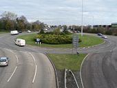
A338 Bournemouth - St. Paul's Roundabout - Coppermine - 17565.jpg
A338 Bournemouth - St. Paul's Roundabout

The junction of the A338 town centre by-pass, which becomes the Bournemouth Spur Road heading north to Ringwood, with the A35 east towards Christchurch.

Originally uploaded to Coppermine on Apr 03, 2008 by TS
A338-old A303 - Coppermine - 15884.jpg
A338-old A303

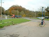
The rbt where the A338 crosses right to left. An old petrol station without a canopy, slumbers on. A snack bar now occupies the building.

Originally uploaded to Coppermine on Nov 10, 2007 by SteveA30
Ringwood - Coppermine - 15721.jpg
Ringwood

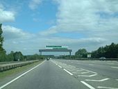
A31 and A338 slips, making a D4 for a short distance.

Originally uploaded to Coppermine on Oct 29, 2007 by SteveA30
A31-A338 - Coppermine - 15713.jpg
A31-A338

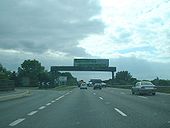
Heading west at Ashley Heath.

Originally uploaded to Coppermine on Oct 29, 2007 by SteveA30
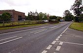
A338, looking north - Geograph - 1736051.jpg
A338, looking north
The A338 in East Hanney - Geograph - 1472235.jpg
The A338 in East Hanney
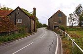
Venn Mill - Geograph - 1472342.jpg
Venn Mill
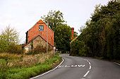
The A338 passes Venn Mill - Geograph - 1472300.jpg
The A338 passes Venn Mill
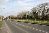
A338 past the canal - Geograph - 1206507.jpg
A338 past the canal
The A338 going past the field that marks Wilts and Berks canal
A338 on Furzewick Down - Geograph - 1006592.jpg
A338 on Furzewick Down
The main road descends north to Wantage, while the minor road descends via the Court Hill Centre to Letcombe Regis.
A338 Richmond Hill Interchange - Coppermine - 17430.jpg
A338 Richmond Hill Interchange

Bournemouth's town-centre by-pass reaches the southern end of the A347 here at Richmond Hill Interchange. As you can see, it incorporates a pedestrian walkway inside the raised roundabout, with a subway to it from each corner. The road was built in the first half of the 1970s.

Originally uploaded to Coppermine on Mar 27, 2008 by TS
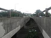
V is for Viaduct - Coppermine - 17429.jpg
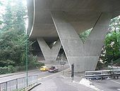
V is for Viaduct

This large viaduct carries the A338 across the town centre of Bournemouth. It was officially opened on 20 March 1973.

Originally uploaded to Coppermine on Mar 27, 2008 by TS
A338 - Coppermine - 17017.jpg
A338

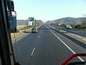
Leaving Bournemouth.

Originally uploaded to Coppermine on Feb 20, 2008 by SteveA30
Wessex Way - Coppermine - 16715.jpg
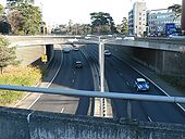
Wessex Way

1970's inner bypass. Here, it is on a viaduct above some Pleasure Gardens. They would never get away with this nowadays.

Originally uploaded to Coppermine on Feb 03, 2008 by SteveA30
A338 - Coppermine - 16712.jpg
A338

Heading across the flyover over the A3060, marking the exit from Bournemouth. A major bottleneck, until GSJ'd about 1988, one of 2 junctions so treated, making the A338 mostly freeflow into Bournemouth.

Originally uploaded to Coppermine on Feb 03, 2008 by SteveA30
Old A338 - Coppermine - 15719.jpg
Old A338

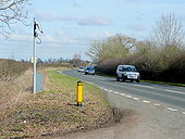
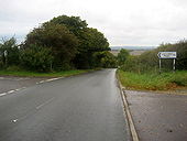
Bit of old A338 just north of Ringwood.

Originally uploaded to Coppermine on Oct 29, 2007 by SteveA30
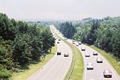
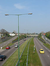
A338 Wessex Way, Bournemouth Dorset - Coppermine - 15470.jpg
A338 Wessex Way, Bournemouth Dorset

The main route in and out of Bournemouth. The A338 begins as a good fast express route from the A31 at Ashley Heath going through few grade separated junctions until it comes to a grinding halt at St Pauls roundabout in Bournemouth town centre.

I think it might be unusual to find the central reservation being wide with grass even growing underneath the interchange seen in the pic!

Originally uploaded to Coppermine on Oct 04, 2007 by DorsetWay
A338 - Coppermine - 22796.jpg
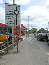
A4/A338

The multiplex section. The garage enjoyed a busy Sunday morning, the only stop on the route, away from the M4, where Chieveley was of course available.

Originally uploaded to Coppermine on Aug 03, 2009 by SteveA30
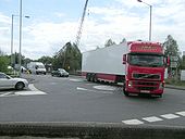
A4 - Coppermine - 22795.jpg
A4

Turning onto the A338, a tight turn for lorries,as the rubber scrapes testify.

Originally uploaded to Coppermine on Aug 03, 2009 by SteveA30
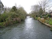
River Avon, Harnham - Geograph - 745864.jpg
River Avon, Harnham
Looking downstream towards the New Harnham Bridge. Taken from the road bridge on St Nicholas Road.
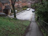
Old A36 039.jpg
Looking down town on what was the old road out from Salisbury to the south coast with Bournemouth and Blandford ..Today the traffic light controlled roundabout has replaced the old fork junction..
Old A36 038.jpg
The roundabout was built along with the Churchill way ring road in the early 1970s replacing the fork junction of the A338 Bournemouth road with the A354 Blandford road.Traffic heading in to Salisbury got taken away from the old Harnham bride to the newer one on the Exeter street roundabout..
A338 at Boscombe - Geograph - 2004100.jpg
The A338 at Boscombe
A338 passing through Winterbourne Earls - Geograph - 189959.jpg
The A338 passing through Winterbourne Earls
A338 approaching junction with A342 (C) Julian P Guffogg - Geograph - 3702271.jpg
A338 approaching junction with A342 (C) Julian P Guffogg
Bournemouth- air show advertisement - Geograph - 932946.jpg
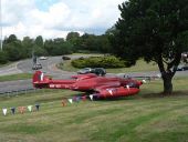
Bournemouth- air show advertisement A week in advance of the Bournemouth Air Show, this plane has been positioned alongside St Pauls Roundabout by way of an advertisement
County Gates Gyratory - Geograph - 98986.jpg
County Gates Gyratory The offices of Liverpool Victoria are sited in the middle of the 'roundabout'
A420 in Tubney Wood - Geograph - 2745611.jpg
A420 in Tubney Wood
Bournemouth, Wessex Way from Lansdowne Road - Geograph - 932934.jpg
Bournemouth: Wessex Way from Lansdowne Road
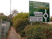
Bournemouth- footpath alongside the Wessex Way - Geograph - 1703746.jpg
Bournemouth: footpath alongside the Wessex Way
 

SABRE - The Society for All British and Irish Road Enthusiasts
Discuss - Digest - Discover - Help