Gallery:A4/Avonmouth - Bath
From Roader's Digest: The SABRE Wiki
Jump to navigation
Jump to search
A4 > A4/Avonmouth - Bath
This gallery has no child categories
A4/Avonmouth - Bath
A4
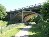
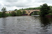
The Keynsham bypass bridge over the River Chew.
Originally uploaded to Coppermine on Jun 07, 2009 by SteveA30A4
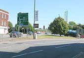
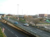
Looking east near Temple Meads, Bristol.
Originally uploaded to Coppermine on Jun 06, 2009 by SteveA30A4
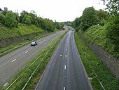
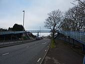
The Keynsham bypass, opened in 1966, when this was the main London-Bristol road.
Originally uploaded to Coppermine on May 30, 2009 by SteveA30A4
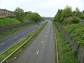
Looking west towards Bristol, one of the few dualled sections on the pre-M4 Great West Rd.
Originally uploaded to Coppermine on May 30, 2009 by SteveA30A4 Portway
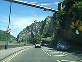
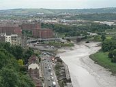
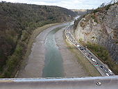
Looking very Alpine in character, with the Avalanche shelter underneath the Clifton Suspension Bridge.
Unfortunately, the reflection of the car's mascot is also visible but oh well!
Originally uploaded to Coppermine on Dec 08, 2007 by Bryn666A4 Portway Roadworks 2
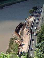
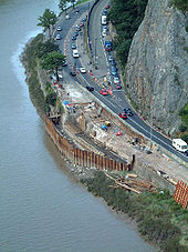
Photos of the lengthy ongoing work to fix the damage caused by a burst water main on the A4 Portway in Bristol
Martyn H
Originally uploaded to Coppermine on Apr 04, 2005 by M4SimonA4 Portway Roadworks 3
A4 Portway Roadworks 3 Martyn H
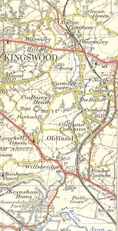
Originally uploaded to Coppermine on Apr 04, 2005 by M4SimonThe B4427 in 1953 before it was upgraded to the A4175.
This page contains scans from a map that is believed may be out of copyright according to UK Crown Copyright, UK Copyright Law for other maps published in the United Kingdom, or Irish Government Copyright, is not being used to generate profit in this context, and presents information that cannot be exhibited otherwise.
If the copyright holder considers this is an infringement of their rights, please contact the site management team to discuss further steps.
If the copyright holder considers this is an infringement of their rights, please contact the site management team to discuss further steps.
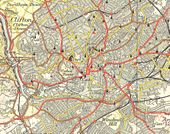
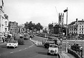
Central Bristol in 1953. There's been some BIG changes!
This page contains scans from a map that is believed may be out of copyright according to UK Crown Copyright, UK Copyright Law for other maps published in the United Kingdom, or Irish Government Copyright, is not being used to generate profit in this context, and presents information that cannot be exhibited otherwise.
If the copyright holder considers this is an infringement of their rights, please contact the site management team to discuss further steps.
If the copyright holder considers this is an infringement of their rights, please contact the site management team to discuss further steps.
Clifton Suspension Bridge
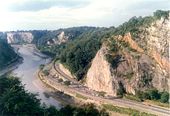
The A4 Portway passing under the Clifton Suspension Bridge at Bristol - taken by 'Squirrel'. I just thought this was a stunning picture.
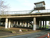
Originally uploaded to Coppermine on Jun 22, 2006 by PeterA5145A3029 access for Plimsoll Bridge, crossing the A4 westbound at Cumberland Basin Interchange. The overhead hut is the controls for Plimsoll Bridge
Cumberland Basin Interchange - The flyovers are the A3029 connecting to Plimsoll Bridge (right hand side), whilst the ground level roads are the A4.
River Avon, New Bridge
A road bridge carrying the A4 from the west of Bath towards Bristol. Looking downstream.
A road bridge carrying the A4 from the west of Bath towards Bristol. Looking downstream.
Hidden categories:
