Gallery:A413
From Roader's Digest: The SABRE Wiki
Jump to navigation
Jump to search
A400-A499 > A413
This gallery has no child categories
A413
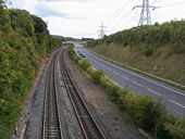
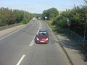
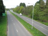
A413 Amersham Bypass
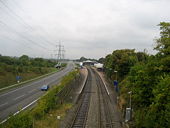
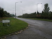
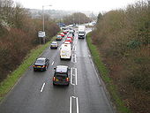
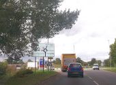
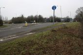
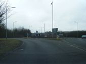
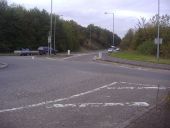
Viewed from The Royle Bridge and looking towards the roundabout at the junction with the A355 Gore Hill.
Viewed from The Royle Bridge and looking towards the roundabout at the junction with the A355 Gore Hill.
A413, Amersham bypass
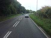
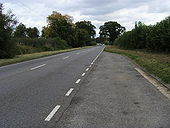
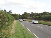
A413 - main road near Wendover
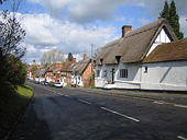
After a day walking and cycling in the fields and beech woods of the Chilterns it was a shock to come out onto the busy main road to Aylesbury.
After a day walking and cycling in the fields and beech woods of the Chilterns it was a shock to come out onto the busy main road to Aylesbury.
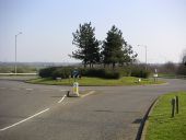
Amersham- A413 Shardeloes roundabout
Historically this was the point where the two roads leading west out of Amersham Old Town, the High Street and Back Lane, met on the route to the Missendens. Later the High Street became the A413 and Back Lane became School Lane. Later still the Amersham By-pass was built and became the A413 with this roundabout at its western end, with the High Street becoming declassified.
Historically this was the point where the two roads leading west out of Amersham Old Town, the High Street and Back Lane, met on the route to the Missendens. Later the High Street became the A413 and Back Lane became School Lane. Later still the Amersham By-pass was built and became the A413 with this roundabout at its western end, with the High Street becoming declassified.
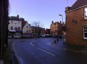
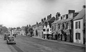
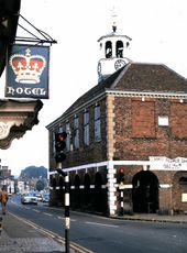
Market Hall with Clock Tower (1973)
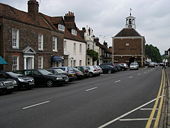
Seen from outside the Crown Hotel. This was a bottleneck on the A413 before Amersham was bypassed.
Seen from outside the Crown Hotel. This was a bottleneck on the A413 before Amersham was bypassed.
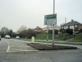
Road junction of A413 and Aylesbury Ring... (C) John Firth
Shown on OS map as a roundabout now a traffic light controlled junction
Shown on OS map as a roundabout now a traffic light controlled junction
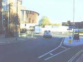
View along Walton Street towards... (C) Roger Templeman
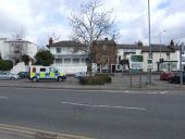
The building on the left until recently housed Addaction, a charity involved with drug and alcohol treatment. The roundabout is at the meeting of Walton Street (A413) with the A418 and A41.
The building on the left until recently housed Addaction, a charity involved with drug and alcohol treatment. The roundabout is at the meeting of Walton Street (A413) with the A418 and A41.
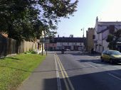
Moreton Rd, Buckingham (C) mick finn
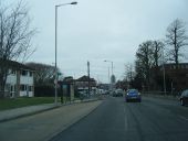
Looking south along Moreton Road in Buckingham. Cornwall's Meadow and Meadow Walk lie behind the buildings in the distance.
Looking south along Moreton Road in Buckingham. Cornwall's Meadow and Meadow Walk lie behind the buildings in the distance.
Services, Buckingham (C) Rob Farrow
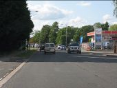
On the A413 to the south of Buckingham. A 'Total' petrol station (complete with tanker) and a Travelodge motel.
On the A413 to the south of Buckingham. A 'Total' petrol station (complete with tanker) and a Travelodge motel.
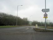
Junction of Burleigh Piece and A413,... (C) mick finn
Looking west in the general direction of Milton Keynes from Burleigh Piece at its junction with the A413, Buckingham
Looking west in the general direction of Milton Keynes from Burleigh Piece at its junction with the A413, Buckingham
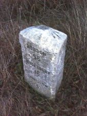
Benchmarked milestone beside London Road... (C) Roger Templeman
Ordnance Survey rivet benchmark described on the Bench Mark Database at <a title='http://www.bench-marks.org.uk/bm36821' rel='nofollow' href='http://www.bench-marks.org.uk/bm36821'>Link</a><img style='padding-left:2px;' alt='External link' title='External link - shift click to open in new window' src='http://s1.geograph.org.uk/img/external.png' width='10' height='10'/>
Ordnance Survey rivet benchmark described on the Bench Mark Database at <a title='http://www.bench-marks.org.uk/bm36821' rel='nofollow' href='http://www.bench-marks.org.uk/bm36821'>Link</a><img style='padding-left:2px;' alt='External link' title='External link - shift click to open in new window' src='http://s1.geograph.org.uk/img/external.png' width='10' height='10'/>
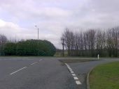
Roundabout on A413 (London Road) at... (C) Roger Templeman
The milestone (middle right of photo) <a href='http://www.geograph.org.uk/photo/2266044'>SP7032 : Benchmarked milestone beside London Road at dusk</a> shows mile distances to Buckingham 1, Brackley 9, Banbury 18; London 56, Aylesbury 16, Winslow 5.
The milestone (middle right of photo) <a href='http://www.geograph.org.uk/photo/2266044'>SP7032 : Benchmarked milestone beside London Road at dusk</a> shows mile distances to Buckingham 1, Brackley 9, Banbury 18; London 56, Aylesbury 16, Winslow 5.
A422 Buckingham roundabout (C) Mr Biz
Where the A413 and the A422 meet, this photo was taken from the north side, just on the edge of the Page Hill part of Buckingham.
Where the A413 and the A422 meet, this photo was taken from the north side, just on the edge of the Page Hill part of Buckingham.
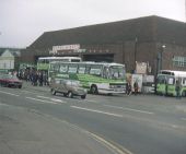
Open Day at Amersham Bus Garage (2) (C) David Hillas
This photo shows a collection of buses at the Open Day held at Amersham Bus Garage in May 1985. In the foreground is a Leyland Tiger coach for use on Green Line route 788 (Aylesbury - London via Amersham), long since withdrawn. The bus garage dates from 1935 and was operated by London Transport until the 1st January 1970 when it passed to London Country Bus Services. It closed on the 2nd December 1989 and was subsequently demolished, a petrol station and superstore now occupying the site. Its postcode was HP7 0HE.
This photo shows a collection of buses at the Open Day held at Amersham Bus Garage in May 1985. In the foreground is a Leyland Tiger coach for use on Green Line route 788 (Aylesbury - London via Amersham), long since withdrawn. The bus garage dates from 1935 and was operated by London Transport until the 1st January 1970 when it passed to London Country Bus Services. It closed on the 2nd December 1989 and was subsequently demolished, a petrol station and superstore now occupying the site. Its postcode was HP7 0HE.
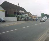
Open Day at Amersham Bus Garage (1) (C) David Hillas
Taken in May 1985, this photo shows a collection of buses at the Open Day of the London Country bus garage in Broadway. Included in the photo are a Leyland National single-decker, a Green Line Leyland Olympian double-decker and a red & cream open-top double-decker.
Taken in May 1985, this photo shows a collection of buses at the Open Day of the London Country bus garage in Broadway. Included in the photo are a Leyland National single-decker, a Green Line Leyland Olympian double-decker and a red & cream open-top double-decker.
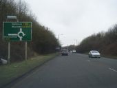
A413 approaching Shardeloes roundabout (C) John Firth
At the end of the dual carriageway travelling south
At the end of the dual carriageway travelling south
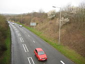
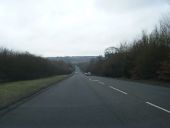
The Amersham bypass (C) David Howard
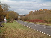
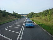
Going over Whielden Lane. The low metal fences with wire netting usually indicate an overpass.
Going over Whielden Lane. The low metal fences with wire netting usually indicate an overpass.
Page 1, 48 file(s) of 53 shown
Hidden categories:
