Gallery:A4130
From Roader's Digest: The SABRE Wiki
Jump to navigation
Jump to search
A4100-A4199 > A4130
This gallery has no child categories
A4130
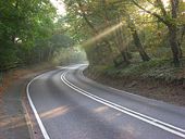
B479 near Wallingford and Benson
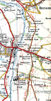
This page contains scans from a map that is believed may be out of copyright according to UK Crown Copyright, UK Copyright Law for other maps published in the United Kingdom, or Irish Government Copyright, is not being used to generate profit in this context, and presents information that cannot be exhibited otherwise.
If the copyright holder considers this is an infringement of their rights, please contact the site management team to discuss further steps.
If the copyright holder considers this is an infringement of their rights, please contact the site management team to discuss further steps.
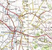
Main roads around Wallingford and Benson, following the expansion of RAF Benson in the Second World War
This page contains scans from a map that is believed may be out of copyright according to UK Crown Copyright, UK Copyright Law for other maps published in the United Kingdom, or Irish Government Copyright, is not being used to generate profit in this context, and presents information that cannot be exhibited otherwise.
If the copyright holder considers this is an infringement of their rights, please contact the site management team to discuss further steps.
If the copyright holder considers this is an infringement of their rights, please contact the site management team to discuss further steps.
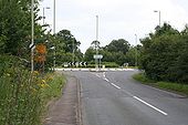
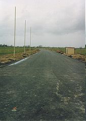
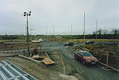
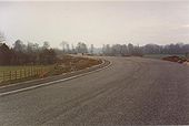
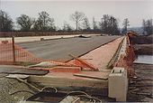
Ready for traffic
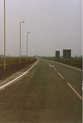
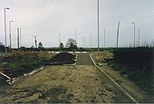
Well I was driving down it before most people but, as you can see, the road is now ready.
Well I was driving down it before most people but, as you can see, the road is now ready.
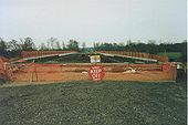
Edge of a roundabout
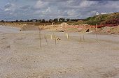
The rebar is part of the marked out roundabout. The spoil heap on the right is where I stood to take a lot of the photos. Behind it you can see Pauls Malt or the ABM as we knew it. This was demolished a few years ago and is now a housing estate.
The rebar is part of the marked out roundabout. The spoil heap on the right is where I stood to take a lot of the photos. Behind it you can see Pauls Malt or the ABM as we knew it. This was demolished a few years ago and is now a housing estate.
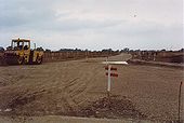
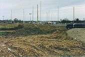
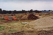
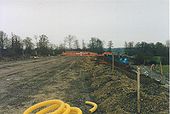
Hardcore down
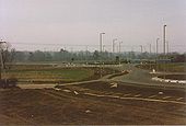
The hardcore laid ready for building up. The post in the foreground marks part of the roundabout.
The hardcore laid ready for building up. The post in the foreground marks part of the roundabout.
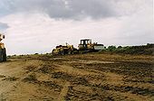
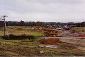
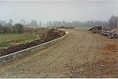
Landscaping begins
The area by the roundabouts being landscaped, as you can see there is a path down to the old road now.
The area by the roundabouts being landscaped, as you can see there is a path down to the old road now.
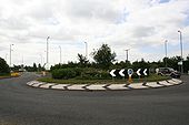
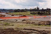
Better view
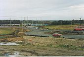
Better view of the two roundabouts prior to being opened. The old bus was used to take people to Wallingford after they came to Cholsey on the steam train.
Better view of the two roundabouts prior to being opened. The old bus was used to take people to Wallingford after they came to Cholsey on the steam train.
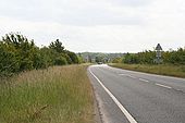
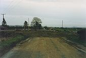
The Wallingford road just became shorter
After over 150 years of being a long straight road it has just lost 200 yds shorter. See I still get my cars in the photo.
After over 150 years of being a long straight road it has just lost 200 yds shorter. See I still get my cars in the photo.
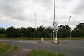
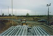
Towards the Wallingford road
Looking across the Winterbrook roundabouts towards the Wallingford road. I stood on top of a pile of steel to take this.
Looking across the Winterbrook roundabouts towards the Wallingford road. I stood on top of a pile of steel to take this.
Cut off field
The problem with building a bypass is some of the land is cut off as you can see to the left.
The problem with building a bypass is some of the land is cut off as you can see to the left.
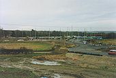
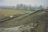
Taking shape
The good thing about the building of the bypass was the huge mound of earth by the Wallingford road gives a good view of the roundabouts.
The good thing about the building of the bypass was the huge mound of earth by the Wallingford road gives a good view of the roundabouts.
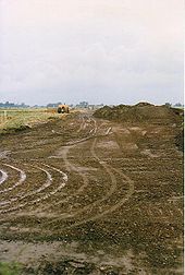
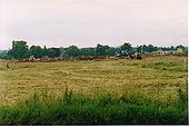
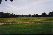
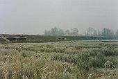
Before the roundabouts
Can't be sure on this but this is or what the pasture land looked before the bypass roundabouts went in.
Can't be sure on this but this is or what the pasture land looked before the bypass roundabouts went in.
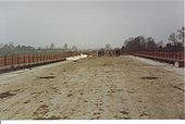
Out for a Sunday stroll
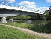
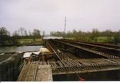
People out for a Sunday walk on the new bridge prior to tarmac being put down. It was quite an attraction for a while, people from both sides of the river being able to walk across.
People out for a Sunday walk on the new bridge prior to tarmac being put down. It was quite an attraction for a while, people from both sides of the river being able to walk across.
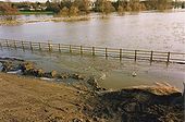
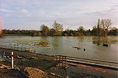
Flooded road
The flooded construction road with water flowing through the tunnels and onto the fields
The flooded construction road with water flowing through the tunnels and onto the fields
Page 1, 48 file(s) of 138 shown
Hidden categories:
