Gallery:A4174
From Roader's Digest: The SABRE Wiki
Jump to navigation
Jump to search
A4100-A4199 > A4174
This gallery has no child categories
A4174
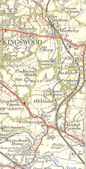
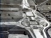
The B4427 in 1953 before it was upgraded to the A4175.
This page contains scans from a map that is believed may be out of copyright according to UK Crown Copyright, UK Copyright Law for other maps published in the United Kingdom, or Irish Government Copyright, is not being used to generate profit in this context, and presents information that cannot be exhibited otherwise.
If the copyright holder considers this is an infringement of their rights, please contact the site management team to discuss further steps.
If the copyright holder considers this is an infringement of their rights, please contact the site management team to discuss further steps.
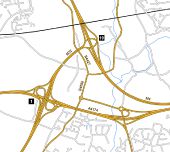
A4174 Hengrove Way completed
This is a realistic layout of a completed Hengrove Way in South Bristol. The intention was for it to reach the A38 but it never got further than the centre of this map.
Originally uploaded to Coppermine on Feb 03, 2009 by TruveloReplacing some of the roundabouts with GSJ's.
Originally uploaded to Coppermine on Dec 30, 2009 by Truvelo
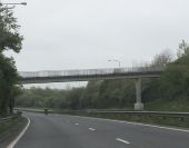
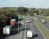
Footbridge crossing Bristol's ringroad (C) Ruth Riddle
This footbridge allows residents of the housing estate to the south-east of the ringroad to access the open land on the other side, to the south of Cock Road.
This footbridge allows residents of the housing estate to the south-east of the ringroad to access the open land on the other side, to the south of Cock Road.
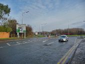
The Hartcliffe Way (C) Neil Owen
Looking up the busy road, with its new cyclepath/pavement. This stretch of road has also recently been uprated from 30 m.p.h. to 40.
Looking up the busy road, with its new cyclepath/pavement. This stretch of road has also recently been uprated from 30 m.p.h. to 40.
2011 - A4174 Avon Ring Road, looking east The roundabout at the junction of the A432 Badminton Road is in sight.
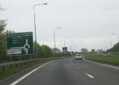
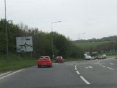
Approaching Dramway Roundabout Approaching Dramway Roundabout on the Bristol Ring Road from the north-east.
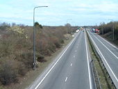
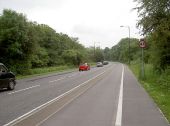
2009 - A4174 Bristol 'ring' road at Siston Common Looking north.
The route between here and Shortwood was built on a closed railway line.
The road to the left is signposted to Soundwell and New Cheltenham, it also goes to Staple Hill. Leave to the right for Siston and Webbs Heath.Hidden categories:
