Gallery:A423
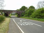
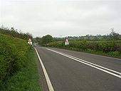
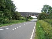
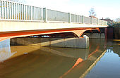
Southward looking view of the former railway bridge over the A423 south of Marton showing the marked area of available headroom available for high vehicles as this is an arched bridge and the road markings for it. The warning signs are shown in the warning signs section of the gallery. May 9 2007
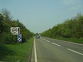
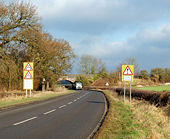
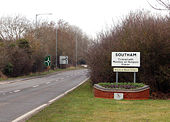
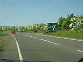
Originally uploaded to Coppermine on May 09, 2007 by leekmanThe A423 Ladbroke Bypass is a stretch which had been completed many years before the Southam Bypass and the view shows the advance direction sign and weigth restriction for the northern turn to the village together with the speed camera/limit sign. The Dinosaur sign (see gallery warning signs) is on this stretch between here and the turn to Ladbroke. 270407
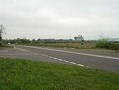
Originally uploaded to Coppermine on Apr 28, 2007 by leekmanNorthward view of the second turn to Farnborough showing combined diection/weight limit sign and general open farmland around. 270407
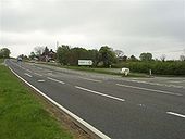
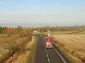
Originally uploaded to Coppermine on Apr 28, 2007 by leekmanLooking southwards at the Fenny Compton Wharf staggered cross roads and the hill to the top of the canal bridge
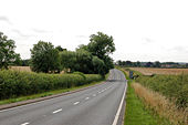
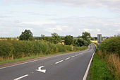
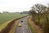
Originally uploaded to Coppermine on Apr 28, 2007 by leekmanSouthward view of the twisty rural nature of this road. Despite its emptiness LGV traffic is still heavy and it tends to flow in batches giving one a quiet time to walk freely 270407
Originally uploaded to Coppermine on Apr 28, 2007 by leekmanIf the copyright holder considers this is an infringement of their rights, please contact the site management team to discuss further steps.
If the copyright holder considers this is an infringement of their rights, please contact the site management team to discuss further steps.
If the copyright holder considers this is an infringement of their rights, please contact the site management team to discuss further steps.
If the copyright holder considers this is an infringement of their rights, please contact the site management team to discuss further steps.
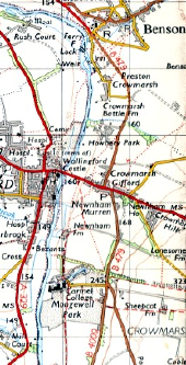
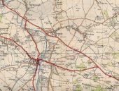
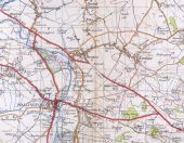
The A423 runs uninterrupted to the south-east of Benson, in the run-up to the Battle of Britain. Originally uploaded to Coppermine on May 20, 2006 by FosseWay
This page contains scans from a map that is believed may be out of copyright according to UK Crown Copyright, UK Copyright Law for other maps published in the United Kingdom, or Irish Government Copyright, is not being used to generate profit in this context, and presents information that cannot be exhibited otherwise.If the copyright holder considers this is an infringement of their rights, please contact the site management team to discuss further steps.
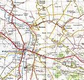
There's something here, but we're not going to tell you what it is... We're just going to do something very strange with the road symbol! Presuming the airfield was built around the time of the Battle of Britain, the OS had 8 years, and one revision of the 1' series, to be a little more convincing about this! Originally uploaded to Coppermine on May 20, 2006 by FosseWay
This page contains scans from a map that is believed may be out of copyright according to UK Crown Copyright, UK Copyright Law for other maps published in the United Kingdom, or Irish Government Copyright, is not being used to generate profit in this context, and presents information that cannot be exhibited otherwise.If the copyright holder considers this is an infringement of their rights, please contact the site management team to discuss further steps.
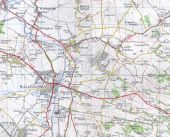
The 7th series map (1967) shows the airfield in full for the first time. However, despite the passage of nearly 30 years since its construction, the roads haven't yet been renumbered: the A423 stops either side of Benson... (My 1974 Book of the Road has the A423 following the B479 and A4130.) Originally uploaded to Coppermine on May 20, 2006 by FosseWay
This page contains scans from a map that is believed may be out of copyright according to UK Crown Copyright, UK Copyright Law for other maps published in the United Kingdom, or Irish Government Copyright, is not being used to generate profit in this context, and presents information that cannot be exhibited otherwise.If the copyright holder considers this is an infringement of their rights, please contact the site management team to discuss further steps.
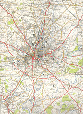
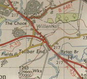
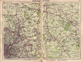
Taken from Bartholemew's Poket Atlas and Guide to Birmingham, 1949, originally priced at 4s net. Further scans from this or the 1954 edition (basically the same, but with the remaining tramways gone) are as ever available on request. Originally uploaded to Coppermine on Nov 19, 2005 by Jam35
This page includes a scan of a non-free copyrighted map, and the copyright for it is most likely held by the company or person that produced the map. It is believed that the use of a limited number of web-resolution scans qualifies as fair use under United States copyright law, where this web page is hosted, as such display does not significantly impede the right of the copyright holder to sell the copyrighted material, is not being used to generate profit in this context, and presents information that cannot be exhibited otherwise.
If the copyright holder considers this is an infringement of their rights, please contact the Site Management Team to discuss further steps.
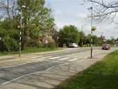
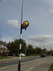
A423 Long Itchington pedestrian crossing fitted with Zebrite Halos and mounted on street lighting posts 25 04 07
Originally uploaded to Coppermine on Apr 26, 2007 by leekmanZebrite Pedestrian Crossing Beacon/Halo fitted to street lighting post at this crosing 25 04 07
Originally uploaded to Coppermine on Apr 26, 2007 by leekmanA poor night time view of the Long Itchington Crossing with one of the halos illuminated 300407
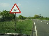
Originally uploaded to Coppermine on May 01, 2007 by leekmanA cattle sign has been doctored by sticking a dinosaur shape over it although if you look closely the cattle image is still visible - Catches your attention though! I believe there were some fossils discovered in the nearby quarry which gives a tenous link. 270407
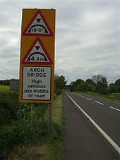
Originally uploaded to Coppermine on Apr 28, 2007 by leekmanDual height warning on approach to arch bridge and instruction for high vehicles to use middle of road on the A423 south of Marton looking southwards. A view of the general layout at the bridge is shown in the A400 Roads gallery. May 9 2007
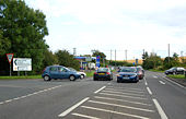
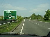
Originally uploaded to Coppermine on May 09, 2007 by leekmanNorthward view on the Southam Bypass approaching the A425 Daventry Road/Southam Town Centre Roundabout. 270407
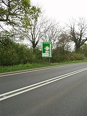
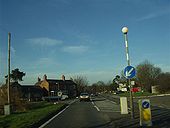
Originally uploaded to Coppermine on Apr 28, 2007 by leekmanLooking southwards showing the direction/weight limit sign for Claydon village
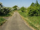
Originally uploaded to Coppermine on Apr 28, 2007 by leekmanShort section of abandoned road where the Southam Bypass A423 terminates at the A426 Rugby Road and old A423 into Southam. The new layout can be seen higher and to the right. 020507
Originally uploaded to Coppermine on May 02, 2007 by leekmanNorth westerly view on the A423 approaching the B4455 Fosse Way crossroads at Princethorpe where the B4453 momentarily mingles with the B4455 on the right. 8 February 2008
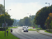
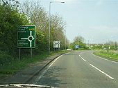
Originally uploaded to Coppermine on Feb 09, 2008 by leekmanThe final stretch of the bypass is a roundabout with the A426 Rugby Road, A423 and Southam Town Centre arms. As this is approached on a sweeping left hand approach the advance direction sign is placed on the offside approx 350M from the junction to give maximum visibility 300407
Originally uploaded to Coppermine on May 01, 2007 by leekmanNorthward view approaching the start of the Southam Bypass showing the direction sign for the A425 road to Leamington Spa. There is a fourth arm off the roundabout to the right for a service station and access to a housing complex. 270407
Originally uploaded to Coppermine on Apr 28, 2007 by leekmanGeneral view of a straight stretch with a farm traffic warning sign on a stretch where you can put your foot down to overtake something slow moving. Further over to the right out of shot is the radio mast. As previously mentioned LGVs use this road and this shot is deceptive - the road is busy with flows in batches. 270407
Originally uploaded to Coppermine on Apr 28, 2007 by leekman