Gallery:A430

From Roader's Digest: The SABRE Wiki
Jump to navigation Jump to search
A400-A499 > A430


This gallery has no child categories
A430
 
 
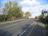
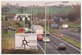
Bristol Road bridge - Geograph - 77895.jpg
Bristol Road bridge
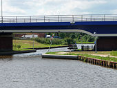
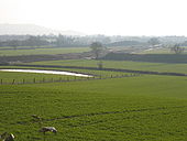
Canal being diverted, Two Mile Bend - Geograph - 115170.jpg
Canal being diverted, Two Mile Bend
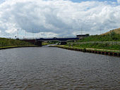
Gloucester and Sharpness Canal - Geograph - 1471992.jpg
Gloucester and Sharpness Canal
Gloucester and Sharpness Canal - Geograph - 1471986.jpg
Gloucester and Sharpness Canal
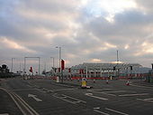
Gloucester, Hempsted, St Ann Way bridge - Geograph - 1081145.jpg
Gloucester, Hempsted, St Ann Way bridge
Gloucester, Hempsted- St Ann Way - Geograph - 1096956.jpg
Gloucester, Hempsted- St Ann Way
Gloucester, Hempsted- New Crossroad - Geograph - 1096951.jpg
Gloucester, Hempsted- New Crossroad
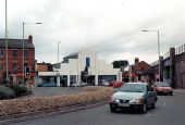
Gloucester- Llanthony Road - Geograph - 1090388.jpg
Gloucester- Llanthony Road
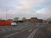
Worcester Street.jpg
The junction between Black Dog Way and Worcester Street in 1989 before Gouda Way was added. The latter was built in the late 90's.
Cole Avenue Roundabout.jpg
The old roundabout at Cole Avenue before it was replaced by today's traffic light junction.
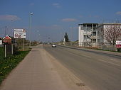
View of Gloucester SW bypass under construction - Geograph - 115472.jpg
view of Gloucester SW bypass under construction
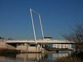
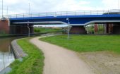
Netheridge Bridge east side, Gloucester - Geograph - 4021985.jpg
East side of Netheridge Bridge, Gloucester Netheridge Bridge is a 38 metre long swing bridge over the new Two Mile Cut in the Gloucester and Sharpness Canal. The bridge, carrying the A430, can be opened to let large canal vessels through. The overhead clearance is 4.7 metres (a little over 15 feet) so most vessels can pass through without the need for rotation. The Two Mile Cut section was built as part of Gloucester's South West Bypass project. It has replaced the previous double canal bend here.
 

SABRE - The Society for All British and Irish Road Enthusiasts
Discuss - Digest - Discover - Help