Gallery:A442

From Roader's Digest: The SABRE Wiki
Jump to navigation Jump to search
A400-A499 > A442


This gallery has no child categories
A442
 
 
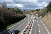
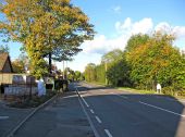
A442 Queensway - Coppermine - 17536.jpg
A442 Queensway

Taken before the slip roads were singled

Originally uploaded to Coppermine on Apr 02, 2008 by Truvelo
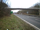
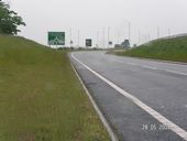
A442 Telford Queensway Sabotaged - Coppermine - 6309.jpg
A442 Telford Queensway Sabotaged

This used to be D2 NSL but the speed limit has been cut to 60 and many junctions are now D1. Worst still the bridge is designed to take D3 should the need arise.

Originally uploaded to Coppermine on Jun 09, 2006 by Truvelo

== Summary ==

A422 Queensway, Telford.jpg
Bridge across the EP - Geograph - 1676163.jpg
Bridge across the EP
A442 Queensway, Telford - Coppermine - 5629.jpg
A442 Queensway, Telford

This didn't attract many votes last month, so I thought I'd crop it, resubmit it, and see if it attracts any more votes...

Originally uploaded to Coppermine on Apr 24, 2006 by mittfh
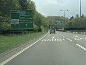
A442 southbound at Greyhound.jpg
A442 southbound approaching the Greyhound junction with B5061, Telford
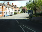
Up the hill to St. Georges.jpg
Eastbound up Station Hill, Oakengates, Telford.

Now unclassified, this road was once part of B5406, and A5 and Watling Street before that.

Taken from underneath A442 Queensway.
B5061-1922.jpg
Wellington, Shropshire in 1922
Roundabout on the Hodnet bypass - Geograph - 136770.jpg
Roundabout on the Hodnet bypass
Not a very inspiring photograph until you know that one of the names on our family research that day was Epsley and here was the Epsley roundabout.
DSCN1957.JPG
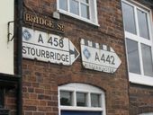
Signs in Bridgnorth
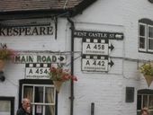
DSCN1960.JPG
Some attractive signs still in the centre of old Bridgnorth
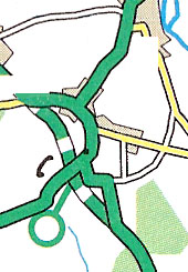
Hodnet Bypass - Coppermine - 23084.jpg
Hodnet Bypass

2002 map showing a western bypass but a south eastern bypass was eventually built

Originally uploaded to Coppermine on Sep 07, 2009 by Truvelo
Kidderminster Road (A442), looking north (C) P L Chadwick - Geograph - 2130675.jpg
Kidderminster Road (A442), looking north (C) P L Chadwick
Photographed from near the former Live & Let Live public house.


<a href='http://www.geograph.org.uk/photo/2130495'>SO8768 : Kidderminster Road (A442), looking south</a>.
A442 Queensway, Telford - the 'Geological' wall - Coppermine - 5124.jpg
A442 Queensway, Telford - the 'Geological' wall

This would need cropping and resizing to fit in the banner, but I've left it relatively unmolested for viewing purposes. If you're not familiar with Telford, it's on the E side of the minor road crossing the A442 near the centre of the map (just above the '116' height spot on Multimap )

Originally uploaded to Coppermine on Mar 21, 2006 by mittfh
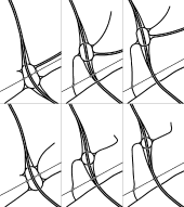
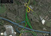
Trench Lock Interchange 1972 options.png
Six options for Trench Lock Interchange from 1972. The top left layout was the recommended option in the report and the junction as built closely resembles this even though it has two roundabouts. The bottom left layout lacks south facing slip roads. Whether this is intentional or a mapping error isn't clear.
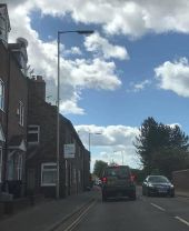
IMG 0613.JPG philips ma50s bridgnorth.jpg
Older 10m steel columns with Philips MA50s in Bridgnorth. I believe these have been there since the 1980s.
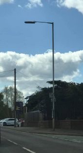
IMG 0614.JPG philips ma50 bridgnorth.jpg
Older 10m steel column with a Philips MA50 in Bridgnorth. I believe this has been there since the 1980s.
Forge interchange.jpg
An expansion of the Forge Interchange in Telford to better link the M54 with the A442 Queensway.
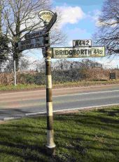
Stockton Crossroads signpost Shropshire 12 Feb 2024.jpg
Signpost at Stockton Crossroads on A442 south of Telford, Shropshire
 

SABRE - The Society for All British and Irish Road Enthusiasts
Discuss - Digest - Discover - Help