Gallery:A463
If the copyright holder considers this is an infringement of their rights, please contact the site management team to discuss further steps.
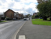
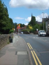
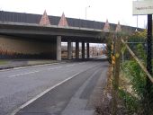
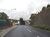
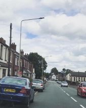
The view up Gospel End Street towards the Village centre and All Saints Church on the skyline.
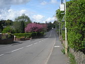
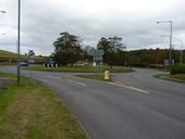
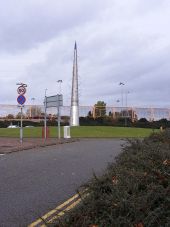
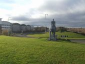
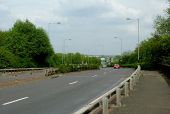
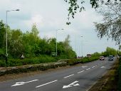
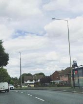
The view from Oxford Street Island in Bilston, Wolverhampton along the Route towards the M6.
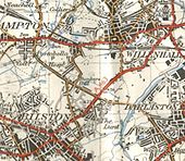
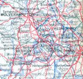
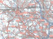
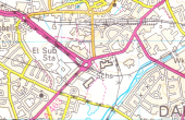
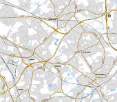
This (from the 1963 Geographers' atlas again) must have been soon after the Bilston motorway was dreamt up. Originally uploaded to Coppermine on Apr 10, 2007 by FosseWay
This page includes a scan of a non-free copyrighted map, and the copyright for it is most likely held by the company or person that produced the map. It is believed that the use of a limited number of web-resolution scans qualifies as fair use under United States copyright law, where this web page is hosted, as such display does not significantly impede the right of the copyright holder to sell the copyrighted material, is not being used to generate profit in this context, and presents information that cannot be exhibited otherwise.
If the copyright holder considers this is an infringement of their rights, please contact the Site Management Team to discuss further steps.
If you look very carefully, it's still there, still proposed... but not a motorway. AA Book of the Road 1974 Originally uploaded to Coppermine on Apr 10, 2007 by FosseWay
This page includes a scan of a non-free copyrighted map, and the copyright for it is most likely held by the company or person that produced the map. It is believed that the use of a limited number of web-resolution scans qualifies as fair use under United States copyright law, where this web page is hosted, as such display does not significantly impede the right of the copyright holder to sell the copyrighted material, is not being used to generate profit in this context, and presents information that cannot be exhibited otherwise.
If the copyright holder considers this is an infringement of their rights, please contact the Site Management Team to discuss further steps.
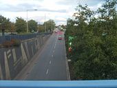
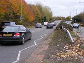
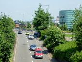
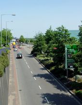
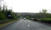
The dual carriageway A463 Looking east from the footbridge at the west bound traffic. The unsightly blue-green building on the right is the new Bert Williams Leisure Centre.
The A463 Looking east from the footbridge.
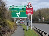
Just beyond this roundabout, the route bypasses the centre of Bilston as it makes its way eastward to the M6 and Walsall.
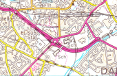
Taken from OS Landranger sheet 139 (Birmingham and Wolverhampton), revision A//*/*/*/*; published Feb 1987.
This page includes a scan of a non-free copyrighted map, and the copyright for it is most likely held by the company or person that produced the map. It is believed that the use of a limited number of web-resolution scans qualifies as fair use under United States copyright law, where this web page is hosted, as such display does not significantly impede the right of the copyright holder to sell the copyrighted material, is not being used to generate profit in this context, and presents information that cannot be exhibited otherwise.
If the copyright holder considers this is an infringement of their rights, please contact the Site Management Team to discuss further steps.
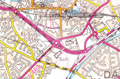
Taken from OS Landranger sheet 139 (Birmingham and Wolverhampton), revision B; published July 1990.
This page includes a scan of a non-free copyrighted map, and the copyright for it is most likely held by the company or person that produced the map. It is believed that the use of a limited number of web-resolution scans qualifies as fair use under United States copyright law, where this web page is hosted, as such display does not significantly impede the right of the copyright holder to sell the copyrighted material, is not being used to generate profit in this context, and presents information that cannot be exhibited otherwise.
If the copyright holder considers this is an infringement of their rights, please contact the Site Management Team to discuss further steps.
Taken from OS Landranger sheet 139 (Birmingham and Wolverhampton), revision B2; published July 1994.
This page includes a scan of a non-free copyrighted map, and the copyright for it is most likely held by the company or person that produced the map. It is believed that the use of a limited number of web-resolution scans qualifies as fair use under United States copyright law, where this web page is hosted, as such display does not significantly impede the right of the copyright holder to sell the copyrighted material, is not being used to generate profit in this context, and presents information that cannot be exhibited otherwise.
If the copyright holder considers this is an infringement of their rights, please contact the Site Management Team to discuss further steps.
