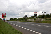
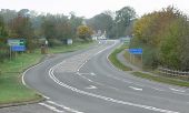
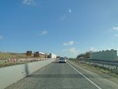
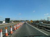
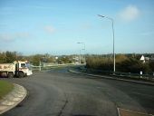
Level crossing, Wisbech bypass
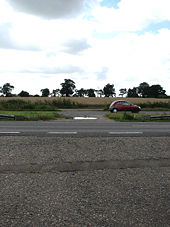
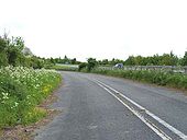
View south across the A47
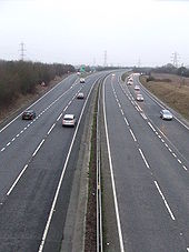
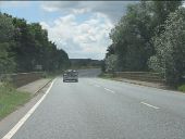
A47 Running Alongside the M6 Motorway
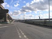
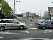
The remains of Masshouse Circus
A47 Running Alongside the M6 Motorway
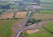
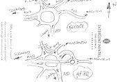
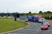
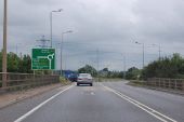
A10 A47 - Hardwick Roundabout
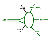
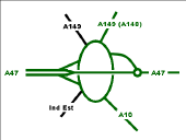
A Before and After of the Hardwick Roundabout.
Posted by c2R on 4/22/2004
Originally uploaded to Coppermine on Apr 22, 2005 by M4Simon Leicester
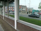
A reflective moment on the A47 at St Nicholas Circle gyratory.
Originally uploaded to Coppermine on May 04, 2008 by SteveA30 Underpass
Looking across the A47 to the A50? as it passes under St Nicholas Circle.
Originally uploaded to Coppermine on May 04, 2008 by SteveA30 A47 - Abandoned
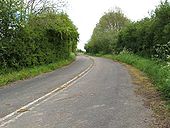
This section of the A47 east of Leicester The old road leaves the new alignment
Originally uploaded to Coppermine on May 30, 2005 by Derek A47 - Abandoned
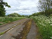
This section of the A47 east of Leicester One of the junctions serving the village of Wardley.
Originally uploaded to Coppermine on May 30, 2005 by Derek A47 Abandoned section
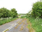
This section of the A47 east of Leicester Thi sroad was well under capacity by the time it was replaced
Originally uploaded to Coppermine on May 30, 2005 by Derek A47 - Abandoned
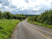
This section of the A47 east of Leicester looking up the hill, double white lines all the way
Originally uploaded to Coppermine on May 30, 2005 by Derek A47 Abandoned section
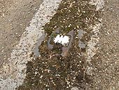
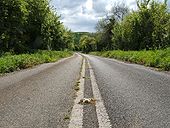
This section of the A47 east of Leicester old catseye
Originally uploaded to Coppermine on May 30, 2005 by Derek A47 - Abandoned
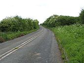
This section of the A47 east of Leicester The start of the hill
Originally uploaded to Coppermine on May 30, 2005 by Derek Abandoned section of the A47
This section of the A47 east of Leicester Near the top of the hill and the end of the abandoned section.
Originally uploaded to Coppermine on May 30, 2005 by Derek A47 Abandoned section of the A47
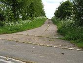
This section of the A47 east of Leicester was built in the late '80s, leaving this substantial section of old road abandoned. It was a very steep hill and a nightmare to be stuck behind a lorry.
Originally uploaded to Coppermine on May 30, 2005 by Derek A47 Abandoned section
This section of the A47 east of Leicester looking down hill from near the top
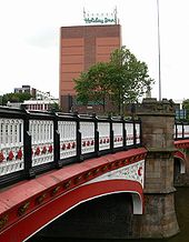
Originally uploaded to Coppermine on May 30, 2005 by Derek St Augustine Road Bridge
This ornate bridge carries St Augustine Road over the Grand Union Canal. The Holiday Inn at St Nicholas Circle is visible in the background.
A47 Postwick Viaduct from River Yare
This is the view from a sailing dinghy on the River Yare, travelling up river towards Norwich, nearing the Postwick Viaduct.
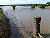
Crossing The Ouse
The A47 crossing The River Great Ouse at Kings Lynn. I believe the remains in the foreground once carried the Sutton Bridge to Kings Lynn railway.
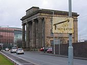
A47, Birmingham city-centre
I spotted this rather rusty pre-warboys sign in Birmingham city-centre, on New Canal St.
It directs motorists looking for the A47 down Curzon St. The A47 was re-routed, away from Curzon St, in the '60s along an elevated dual carriageway (Jennens Road). So by my reckoning, that makes this sign about 40 years out-of-date!
This area is due for re-development soon, the roads are to be removed altogether to make way for a park and new library. So I don't hold any hope for this sign hanging around much longer.
Originally uploaded to Coppermine on Jan 02, 2006 by Steve-e-b SABRE members admire the national cycle route over the River Yare
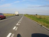
Looking west along the Acle Straight
A strip-map of Thickthorn Interchange, present day.
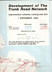
1983 plans
Most of it was done in the end.
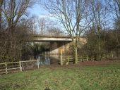
Originally uploaded to Coppermine on Jan 29, 2009 by SteveA30 Flooded Jurassic Way beneath the A47 (C) Tim Heaton
The A47 bypass round Duddington, carried by a new bridge over the River Welland. The Way below the bridge is blocked by flooding.
River Welland bridge, A47 (C) Peter Whatley
Beyond the bridge, the road enters Rutland.
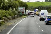
Roadworks on the A47 At the flyover and off ramp from the northern relief road.
A47 approaching the park and ride interchange and roadworks
A10-A47 Interchange near King's Lynn
A47 approaching roundabout at Constitution Hill The A47 then heads off in a south easterly direction.
Runham Road from Acle New Road
Prior to 1992, the existing East Dereham bypass dual carriageway used to end just to the east of the town and merge back onto the old road alignment through North Tuddenham. Then the dual carriageway was extended to the east to bypass North Tuddenham to the south.
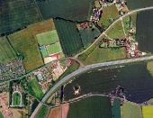
This diversion left a significant length of dual carriageway abandoned, from the Eckling Grange bridge to Etling Green. Today, it's difficult to find any trace on the ground that the road ever went a different way - they've covered it up very well. However, an aerial view clearly shows the old alignment (marked by the lines in the trees and the adjoining buildings):
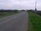
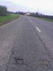
This is the approach from the east, what was the A47 but is now the B1147. About where the house is was where the dual carriageway started. You can see the grass embankment on the left slowly enlarging where the road started to flare.
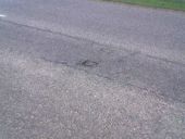
Our first sign of former dualling is, surprisingly after 13 years, still in the remaining road. One can clearly see where the white hatching and the dual catseyes were.
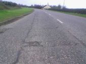
This is looking along the road where the hatchings started to widen, leading up to the central reservation. Amazing how they're still so evident. Notice how the line of the road to the left of them veers off into what is now a grass verge.
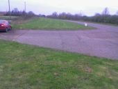
The grass verge completely covers the start of what was the westbound carriageway.
And here's what it's covering up. There are 2 driveways along here that make use of the original tarmac, you can see them in the aerial view - this is the easternmost. There are no white lines preserved but the manufacturing line in the tarmac shows there the centre of the carriageway would have ran. Also...
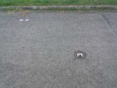
...one of the original catseyes is still in place, marking the original lane division. It still has two reflectors in it, even after 13 years. To the top left of it there is a pair of strange square metal plates that you sometimes find in the middle of carriageways. I'm not sure what they're for.
