Gallery:A483

From Roader's Digest: The SABRE Wiki
Jump to navigation Jump to search
A400-A499 > A483


This gallery has no child categories
A483
 
 
A483 & Fancy Lights - Coppermine - 23284.jpg
A483 & Fancy Lights

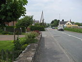
Unfortunate name for an Inn? ... Originally taken for the (to me) unusual streetlights but put in the roads album. Ammanford

Originally uploaded to Coppermine on Oct 05, 2009 by AAndy
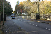
A483 Llandeilo - Coppermine - 22852.jpg
A483 Llandeilo

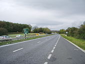
April 2009 south (l) - North (r)

Originally uploaded to Coppermine on Aug 10, 2009 by AAndy
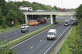
A483 Wrexham caravan crash - Coppermine - 14870.jpg
A483 Wrexham caravan crash

Smashed caravan facing the wrong way on the A483 at the A541 junction

Originally uploaded to Coppermine on Aug 20, 2007 by Truvelo
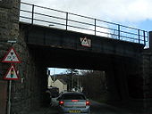
A483 at Newtown - Coppermine - 11588.jpg
A483 at Newtown

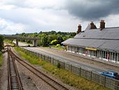
A483 under mid-wales railway .

Originally uploaded to Coppermine on May 08, 2007 by AAndy
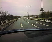
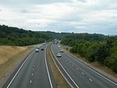
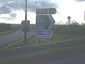
A483 Southbound between A55 and B5445 - Coppermine - 23822.jpg
A483 Southbound between A55 and B5445

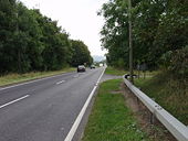
A483 Southbound between A55 and B5445. 10/01/2010.

Originally uploaded to Coppermine on Jan 10, 2010 by haymansafc
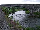
A483 Irfon Bridge.jpg
A483 Irfon Bridge
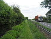
Montgomery Canal, Offa's Dyke Path and the A483.jpg
Montgomery Canal, Offa's Dyke Path and the A483
Cutting on the A483.jpg
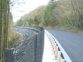
Cutting on the A483
A483 Wrexham.jpg
A483
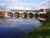
Builth Wells bridge.jpg
Builth Wells bridge
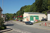
Petrol station and store on A483.jpg
Petrol station and store on A483
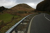
Sugar Loaf.jpg
Sugar Loaf
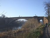
A483 bridge over the Dee.jpg
A483 bridge over the Dee
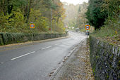
Stone walled entry to Builth.jpg
Stone walled entry to Builth
A483 in Four Crosses.jpg
A483 in Four Crosses
A483 Wrexham 2.jpg
A483
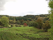
The A483 heads south into the Severn Valley.jpg
The A483 heads south into the Severn Valley
Ungated level crossing.jpg
Ungated level crossing
The bypass on platform 1.jpg
The bypass on platform 1...
Road improvement on A483 south of the Sugar Loaf.jpg
Road improvement on A483 south of the Sugar Loaf
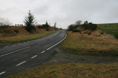
A bend in the A483.jpg
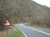
A bend in the A483
Overleigh Roundabout on a snowy day - Geograph - 1652107.jpg
Overleigh Roundabout on a snowy day
M4; The Very End - West - Coppermine - 23287.jpg
M4; The Very End - West

Look.. NSL sign off the motorway!! the last few yards of the M4, Pont Abraham.

Originally uploaded to Coppermine on Oct 05, 2009 by AAndy
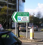
Sign on Grosvenor roundabout in Chester - Coppermine - 21695.jpg
Sign on Grosvenor roundabout in Chester

This is one of the newer direction signs at the Grosvenor roundabout in Chester. Some of the other ones identify the road as the A483 and as being a road to Wrexham. Saltney (which is in North Wales) is 2 miles away, Lache a bit closer.

Originally uploaded to Coppermine on Mar 21, 2009 by kieron
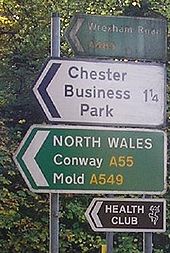
Signs at Overleigh roundabout - Coppermine - 21637.jpg
Signs at Overleigh roundabout

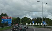
An arrangement of signs at an exit on the A483/A5104 junction in Chester. Fortunately, the advanced signs are clearer. The road here actually is Wrexham Road (and part of the primary route to Wrexham at that), but I don't know whether the A549 still formed part of a good route to Mold when 'Conway' stopped being used on road signs.

Originally uploaded to Coppermine on Mar 11, 2009 by kieron
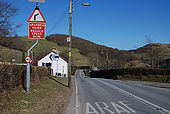
The A483 in Cwrt - Geograph - 1703806.jpg
The A483 in Cwrt
Find Another!! - Coppermine - 11587.jpg
Find Another!!

Newtown, Powys...as seen from the A483

Originally uploaded to Coppermine on May 08, 2007 by AAndy
A483 junction - Coppermine - 5814.JPG
A55 / A483 junction

The signs pointing down the A55 westbound into Wales.

Originally uploaded to Coppermine on May 03, 2006 by antster1983
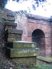
Grosvenor Bridge Abutment - Geograph - 290847.jpg
Grosvenor Bridge Abutment
The south east bridge abutment for Chester's Grosvenor Bridge, built of limestone but capped and faced with sandstone. The side arch allows an access track and a public footpath to pass through to the Dingle. The A483 Wrexham Road passes over the bridge (and the River Dee) into Chester.
A 483 T goes over the Afon Dyfrdwy - Geograph - 69293.jpg
A 483 T goes over the Afon Dyfrdwy
The relatively new high bridge replaces the old crossing at Newbridge. It is 40m above the river and is a reinforced concrete cantilever.
Pont Llandeilo - Geograph - 472194.jpg
Pont Llandeilo
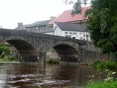
Built in the middle of the 19th century this imposing stone arch bridge spans the Afon Tywi to the south of Llandeilo. It was once considered one of the wonders of Wales.
Bridge over the River Wye, Builth Wells - Geograph - 277953.jpg
Bridge over the River Wye, Builth Wells
Church Street, Builth Wells - Geograph - 1994440.jpg
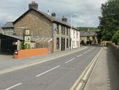
Church Street, Builth Wells
Overleigh Roundabout and Hough Green - Geograph - 1654201.jpg
Overleigh Roundabout and Hough Green
Abermule bypass bridge - Geograph - 923427.jpg
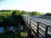
A483 - Abermule bypass bridge over the River Severn
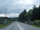
Approaching Ffairfach level crossing (C) Jaggery - Geograph - 2925123.jpg
Approaching Ffairfach level crossing (C) Jaggery
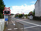
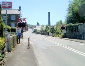
Heol Cennen (the A483) heads south towards the ungated level crossing at the SW edge of Ffairfach station on the Heart of Wales line.
Cilyrychen Level Crossing (C) Colin Pyle - Geograph - 2936610.jpg
Cilyrychen Level Crossing (C) Colin Pyle
From footbridge to footbridge, Fabian... (C) Jaggery - Geograph - 3769728.jpg
From footbridge to footbridge, Fabian... (C) Jaggery
Viewed from this <a title='http://www.geograph.org.uk/photo/3756965' rel='nofollow' href='http://www.geograph.org.uk/photo/3756965'>Link</a><img style='padding-left:2px;' alt='External link' title='External link - shift click to open in new window' src='http://s1.geograph.org.uk/img/external.png' width='10' height='10'/> bridge looking WNW along the A483 Fabian Way.
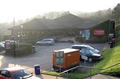
Travelodge, Swansea West - Geograph - 1496679.jpg
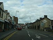
Travelodge, Swansea West
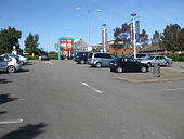
Swansea West Services - Geograph - 1496646.jpg
Swansea West Services
Swansea West - Geograph - 1496653.jpg
Swansea West
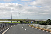
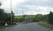
Approaching the A483 from the M4 - Briton Ferry - Geograph - 1459059.jpg
Approaching the A483 from the M4, WSW of Briton Ferry
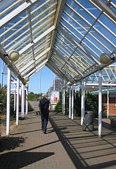
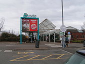
Canopy, Swansea West Services - Geograph - 1496667.jpg
Canopy, Swansea West Services
Start of the M4 - Geograph - 573380.jpg
Start of the M4
Pont Abraham Services - Geograph - 89846.jpg
Pont Abraham Services
Swansea West services - Geograph - 1723490.jpg
Swansea West services
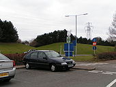
Swansea West services parking - Geograph - 1723493.jpg
Swansea West services parking
On top of the new viaduct over the River Neath at J42, Briton Ferry-Llansawel. Access here is to Swansea only via the A483. - Coppermine - 7377.jpg
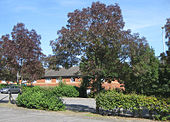
On top of the new viaduct over the River Neath at J42, Briton Ferry-Llansawel. Access here is to Swansea only via the A483. Originally uploaded to Coppermine on Aug 25, 2006 by Bryn666
 
 
Page 1, 48 file(s) of 56 shown
Page 1 2

SABRE - The Society for All British and Irish Road Enthusiasts
Discuss - Digest - Discover - Help