Gallery:A509 (Northern Ireland)

From Roader's Digest: The SABRE Wiki
Jump to navigation Jump to search
A100-A999 (Northern Ireland) > A509 (Northern Ireland)


This gallery has no child categories
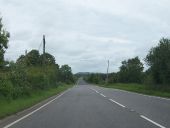
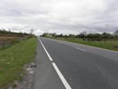
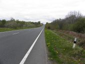
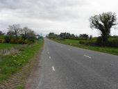
A509 (Northern Ireland)
 
 
George Mitchell Bridge - Geograph - 436882.jpg
George Mitchell Bridge facing south.
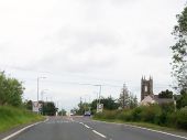
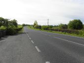
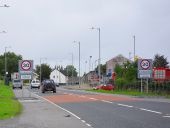
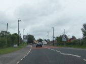
The A509 approaching the junction with the B127 at the southern outskirts of Derrylin - Geograph - 2686738.jpg
The A509 approaching the junction with the B127 at the southern outskirts of Derrylin
The tower of the Kinawley parish church can be seen on the right.
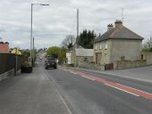
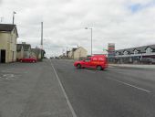
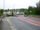
Main Street, Derrylin - Geograph - 1841909.jpg
Main Street, Derrylin
Heading south east towards the Belturbet Road
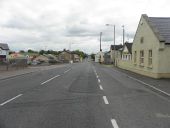
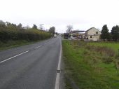
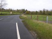
A509, Belturbet Road - Geograph - 1841882.jpg
A509, Belturbet Road
Heading south-east
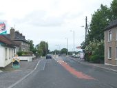
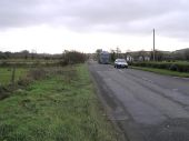
A509, Belturbet Road - Geograph - 1841764.jpg
A509, Belturbet Road
Heading south-east at Drumeeshill
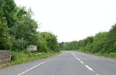
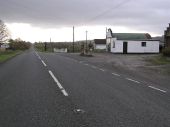
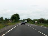
The A509 Belturbet Road at Drumeeshill - Geograph - 2686771.jpg
The A509 Belturbet Road at Drumeeshill
This view was taken at the height of the tourist season.
Belturbet Road, Ballychorran - Geograph - 1841778.jpg
Belturbet Road, Ballychorran
Heading SSE
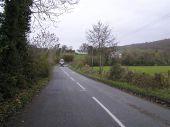
Belturbet Road - Geograph - 1841796.jpg
Belturbet Road
Heading NNW
Belturbet Road - Geograph - 1841638.jpg
Belturbet Road
Heading NNW towards Teemore
A509, Belturbet Road - Geograph - 2936824.jpg
A509, Belturbet Road
Heading south-east
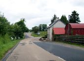
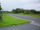
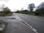
Entering Northern Ireland on the N3 - Geograph - 2685240.jpg
Entering Northern Ireland on the N3
Beyond the dip in the road, the N3 becomes the A509
Main Street, Derrylin - Geograph - 1841908.jpg
Main Street, Derrylin
Heading north-west
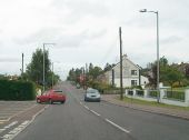
Main Street, Derrylin at the junction with Corratistune Road - Geograph - 2686800.jpg
Main Street, Derrylin at the junction with Corratistune Road
Derrylin is a mainly Nationalist community (80 per cent Roman Catholic) which prospered from the reopening of the link with the Republic in 2000. This was the heart of the Quinn Empire before its recent troubles with Quinns employing some 2000 workers locally.
<a title='http://www.irishcentral.com/news/Sean-Quinn-once-Irelands-richest-man-loses-everything-119906794.html' rel='nofollow' href='http://www.irishcentral.com/news/Sean-Quinn-once-Irelands-richest-man-loses-everything-119906794.html'>Link</a><img style='padding-left:2px;' alt='External link' title='External link - shift click to open in new window' src='http://s1.geograph.org.uk/img/external.png' width='10' height='10'/>
Main Street, Derrylin - Geograph - 1841921.jpg
Main Street, Derrylin
Heading NNW
Main Street, Derrylin - Geograph - 1841939.jpg
Main Street, Derrylin
Looking south-east
The A509 at Mullyneeny, Derrylin - Geograph - 2686815.jpg
The A509 at Mullyneeny, Derrylin
Mullyneeney is at the northwestern outskirts of the village.
The A509 (Derrylin Road) just south of the junction with Stragowna Road - Geograph - 2686830.jpg
The A509 (Derrylin Road) just south of the junction with Stragowna Road
Derrylin Road - Geograph - 1053804.jpg
Derrylin Road
Heading north-west towards Mullynaherb
A509 Derrylin Road - Geograph - 1053745.jpg
A509 Derrylin Road
Heading SSE near Tonyvarnog
Road at Corragole - Geograph - 1053728.jpg
Road at Corragole
Heading north-east towards Sheehinny
Corragole Road - Geograph - 1053705.jpg
Corragole Road
Heading south-east
The A509 (Derrylin Road) approaching the junction with the Drumroosk Road - Geograph - 2687037.jpg
The A509 (Derrylin Road) approaching the junction with the Drumroosk Road
The Drumroosk Road gives access to the village of Kinawaley.
Road at Derryvrane - Geograph - 1053702.jpg
Road at Derryvrane
Heading north-west towards Enniskillen
Crossing the new bridge over the Swanlinbar River - Geograph - 2687047.jpg
Crossing the new bridge over the Swanlinbar River
A509 Derrylin Road - Geograph - 1053695.jpg
A509 Derrylin Road
Heading south-east
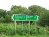
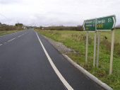
Signs at Corracoash - Geograph - 1464139.jpg
Signs at Corracoash
On the A509 south of Mackan.
A509 at Derryhenny - Geograph - 1464149.jpg
A509 at Derryhenny
Where the roads to Killesher and Inishmore branch off.
Derryheany Cross Roads on the A509 - Geograph - 2687056.jpg
Derryheany Cross Roads on the A509
Here the Derrylin Road (A509) is crossed by Inishmore Road
Road at Mackan - Geograph - 1044504.jpg
Road at Mackan
Heading north to Enniskillen via Ballinaleck
Road at Drumbrughas (A509) - Geograph - 1044498.jpg
Road at Drumbrughas (A509)
Heading north towards Derryhawlagh
Road at Drumane - Geograph - 1044482.jpg
Road at Drumane
Heading SSW
Approaching Bellanaleck - Geograph - 1464155.jpg
Approaching Bellanaleck
Along the A509 at the southern end of the village.
The A509 on the southern outskirts of Bellanaleck - Geograph - 2687063.jpg
The A509 on the southern outskirts of Bellanaleck
Bellanaleck village - Geograph - 1464162.jpg
Bellanaleck village
Looking towards Enniskillen.
Road at Bellanaleck - Geograph - 492348.jpg
Road at Bellanaleck
Heading west and then north to Enniskillen
Road at Rosscarn - Geograph - 492330.jpg
Road at Rosscarn
Heading north to Enniskillen
Road at Drumkeen - Geograph - 492322.jpg
Road at Drumkeen
Heading south to Bellinaleck.
The A509 Derrylin Road north of Bellanaleck - Geograph - 3215059.jpg
The A509 Derrylin Road north of Bellanaleck
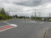
Traffic Island at the junction of Derrylin Road and Sligo Road - Geograph - 3215040.jpg
Traffic Island at the junction of Derrylin Road and Sligo Road
The image was taken from Derrylin Road.
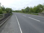
Drumawill, Enniskillen - Geograph - 492317.jpg
Drumawill, Enniskillen
Heading out of the town, straight on leads to Belcoo or Swanlinbar
Road at Rossorry - Geograph - 492320.jpg
Road at Rossorry
Heading north-west towards Enniskillen
The A509 Derrylin Road - Geograph - 2396108.jpg
The A509 Derrylin Road
The road from Enniskillen to Belturbet.
 

SABRE - The Society for All British and Irish Road Enthusiasts
Discuss - Digest - Discover - Help