Gallery:A5117
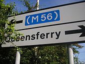
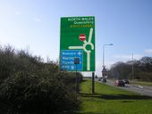
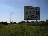
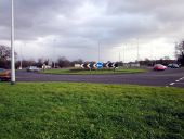
A sign near Elton which sensibly gives no hint as to which road it sees as a better route than the (slightly longer) motorway route.
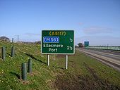
Originally uploaded to Coppermine on Sep 09, 2009 by kieronYou can use the (A5117) to get to the (M56) if you really want to. But what did the designer think the number of this road actually was?
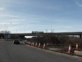
Originally uploaded to Coppermine on Mar 16, 2009 by kieronA bridge over the A5117 under construction. Now A494
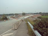
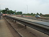
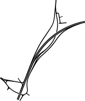
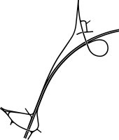
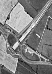
Originally uploaded to Coppermine on Oct 07, 2007 by kieronThis just shows part of the roadworks at the A550/A5117 junction by Shotwick. The unfinished road in the middle of the picture will eventually replace the slip road to the right. Now part of the A494
Originally uploaded to Coppermine on Oct 07, 2007 by kieronJunction improvement. Old Westbound carriageway is closed anticipating the mainline moving to the new alignment.
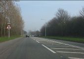
Originally uploaded to Coppermine on May 11, 2008 by nowsterSorry about the quality of the pictures but taken through the window by a passenger.
These low, about one foot high, 'fences' run alongside the road near the junction of the A5117 and A550. In some places there is one 'fence' run right along the edge of the road with another nearer the hedge. There are some fields visible in places with the fields subdivided into small areas by the same type of fence.
Does anyone know what they are for?
MB
Originally uploaded to Coppermine on Oct 07, 2006 by J--M--BSorry about the quality of the pictures but taken through the window by a passenger.
These low, about one foot high, 'fences' run alongside the road near the junction of the A5117 and A550. In some places there is one 'fence' run right along the edge of the road with another nearer the hedge. There are some fields visible in places with the fields subdivided into small areas by the same type of fence.
Does anyone know what they are for?
MB
Originally uploaded to Coppermine on Oct 07, 2006 by J--M--B