Gallery:A515
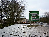
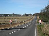
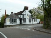
Signs showing 'end of no overtaking zone' on the A515 at Hurdlow, Derbyshire, by the Bull'i'th'Thorn pub. Taken February 2007.
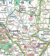
Originally uploaded to Coppermine on Feb 03, 2007 by PeterA5145This page includes a scan of a non-free copyrighted map, and the copyright for it is most likely held by the company or person that produced the map. It is believed that the use of a limited number of web-resolution scans qualifies as fair use under United States copyright law, where this web page is hosted, as such display does not significantly impede the right of the copyright holder to sell the copyrighted material, is not being used to generate profit in this context, and presents information that cannot be exhibited otherwise.
If the copyright holder considers this is an infringement of their rights, please contact the Site Management Team to discuss further steps.
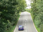
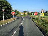
A plethora of road signs and markings warn road users of the crossroads that has become an accident black-spot and has sadly claimed many lives over the years. The image is taken from the B5234 Abbots Bromley to Burton upon Trent road, looking towards Needwood. The A515 Lichfield to Ashbourne road crosses right to left. At the junction, the view right towards Lichfield is reasonable. However, the view left towards Ashbourne is not clear until the road user is right on the junction, due to the acute angle of the roads and even then, visibility is further reduced by the traffic from the left approaching at speed down a short, steep hill. Vicar's Hill Farm can be clearly seen on the skyline.
