Gallery:A519

From Roader's Digest: The SABRE Wiki
Jump to navigation Jump to search
A500-A599 > A519


This gallery has no child categories
A519
 
 
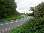
A519 crossing High Bridge - Geograph - 240032.jpg
A519 crossing High Bridge
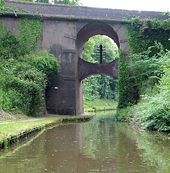
A519 by High Bridge - Geograph - 240027.jpg
A519 by High Bridge
High Bridge near Norbury, Staffordshire - Geograph - 1390126.jpg
High Bridge near Norbury, Staffordshire
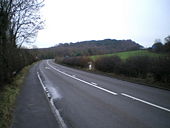
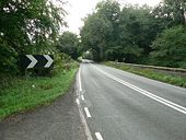
The A519 at Hanchurch - Geograph - 1129277.jpg
The A519 at Hanchurch
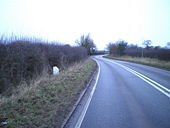
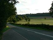
The A519 north of Eccleshall - Geograph - 1129310.jpg
The A519 north of Eccleshall
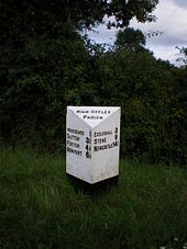
High Offley milestone - Geograph - 921408.jpg
High Offley milestone
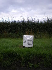
Norbury Parish milestone - Geograph - 921425.jpg
Norbury Parish milestone
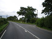
The Ellenhall junction - Geograph - 921401.jpg
The Ellenhall junction
M6 signs on the A519 - Geograph - 803466.jpg
M6 signs on the A519
The A519 - Geograph - 250895.jpg
The A519
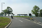
A519 - Geograph - 803454.jpg
New roundabout on A51/A519
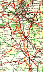
Scans from Oldhams 'NEW' Road Atlas (1963) 6. M6 - Coppermine - 238.jpg
Scans from Oldhams 'NEW' Road Atlas (1963) 6. M6

The M6 was open between South Stoke-on-Trent & Stafford, before the Preston to Warrington and the Warrington to Stoke-On-Trent sections. Originally uploaded to Coppermine on Apr 03, 2005 by Mediaman_12

This page includes a scan of a non-free copyrighted map, and the copyright for it is most likely held by the company or person that produced the map. It is believed that the use of a limited number of web-resolution scans qualifies as fair use under United States copyright law, where this web page is hosted, as such display does not significantly impede the right of the copyright holder to sell the copyrighted material, is not being used to generate profit in this context, and presents information that cannot be exhibited otherwise.
If the copyright holder considers this is an infringement of their rights, please contact the Site Management Team to discuss further steps.

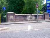
Road bridge over Lyme Brook, Newcastle... (C) Carl Farnell - Geograph - 2464031.jpg
Road bridge over Lyme Brook, Newcastle... (C) Carl Farnell
This is the south eastern side of the bridge on Brook Lane, (B5043)
The parapet sculpture is dated 1995, by Ian Randall. It was commissioned to commemorate the completion of flood prevention works in 2000.
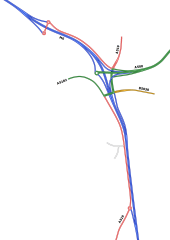
M6 J15 1994 proposal.png
Planned upgrade of Hanchurch Interchange as part of proposals to widen the M6 from 1994.
IMG 4242.JPG
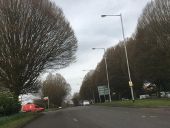
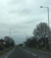
Urbis ZX2 lighting, the black deep-bowl versions, coming into Newcastle-Under-Lyme.
6729.JPG 12 metre steel columns urbiz zx2 sodium lanterns.jpg
12m steel posts with deep-bowl and dark Urbis ZX2 (HPS/S0N) lanterns. This is along Clayton Road (A519) coming into Newcastle-under-Lyme. Photo from February 2019.
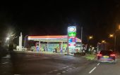
Esso filling station by night
Esso filling station on the A519 in Clayton
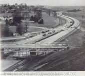
The-sphere-6-April-1963-p33-M6-Hanchurch.jpg
The Sphere Saturday 6 April 1963, page 33 Hanchurch M6 under construction, looking north, opened December 1962, 12 miles built by John Laing
 

SABRE - The Society for All British and Irish Road Enthusiasts
Discuss - Digest - Discover - Help