Gallery:A523
From Roader's Digest: The SABRE Wiki
Jump to navigation
Jump to search
A500-A599 > A523
This gallery has no child categories
A523
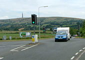
A523 Gatso 3
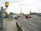
A red light Gatso on the A523 at its junction with the A536 facing Northbound
OP RickyB_UK
Originally uploaded to Coppermine on Apr 18, 2005 by M4SimonA523 Gatso 4
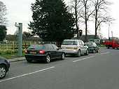
Same location - A523 / A536 junction facing North. The GATSO is now out of alignment - and can't actually see the junction anymore
OP RickyB_UK
Originally uploaded to Coppermine on Apr 18, 2005 by M4SimonThe junction at Rising Sun
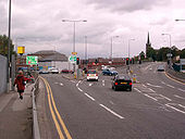
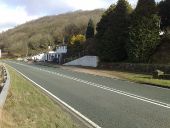
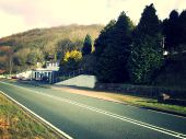
SEMMMS A555 Scheme 6
Macclesfield Road Junction (current A523)
OP RickyB_UK
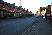
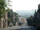
Originally uploaded to Coppermine on Apr 16, 2005 by M4Simon1-13, Fountain Place (C) Mike Kirby
Built in a vernacular revival style, around the junction of Chester Road and London Road North, this early twentieth century row of shops, is classed as a locally important building. The Jubilee fountain can be seen right of the centre lamp standard. See<a href='http://www.geograph.org.uk/photo/1472744'>SJ9183 : The Jubilee Fountain and Lamp Standard, Fountain Place</a>
Built in a vernacular revival style, around the junction of Chester Road and London Road North, this early twentieth century row of shops, is classed as a locally important building. The Jubilee fountain can be seen right of the centre lamp standard. See<a href='http://www.geograph.org.uk/photo/1472744'>SJ9183 : The Jubilee Fountain and Lamp Standard, Fountain Place</a>
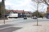
Poynton 'centreville' (C) Peter Turner
Junction of A5149 with A523. A very busy road junction that had traffic lights until recently when a radical piece of traffic engineering was instituted. On the four roads a hundred or so yards out the normal road surface, kerbs and pavements cease. The double lanes for right turns removed and a single lane marked by a different road surface and paving blocks in differing colours mark the gutters and pavement, the edge of which is only slightly raised. It feels like the road layouts in a pedestrian area. In fact no one has right of way, pedestrian or vehicle. No black and white pedestrian crossing markings. No give way signs. Two interlinked roundabouts, necessary because the slightly staggered roads across the A523, are marked by different coloured paving blocks indicating the route for traffic circulation. It seems to be working and is something of a local wonder to be visited and observed.
Update: There is a 15min video about the concept and its implementation [[<a title='http://www.youtube.com/watch?v=-vzDDMzq7d0' rel='nofollow' href='http://www.youtube.com/watch?v=-vzDDMzq7d0'>Link</a><img style='padding-left:2px;' alt='External link' title='External link - shift click to open in new window' src='http://s1.geograph.org.uk/img/external.png' width='10' height='10'/>]]
Hidden categories:
