Gallery:A563
From Roader's Digest: The SABRE Wiki
Jump to navigation
Jump to search
A500-A599 > A563
This gallery has no child categories
A563
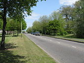
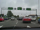
A563 Squareabout Leicester
Posted by Bryn-A666 on 10/18/2004
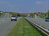
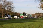
Originally uploaded to Coppermine on May 04, 2005 by M4SimonApproaching Groby Road Roundabout
A busy roundabout on the Leicester outer ring road where the A50 crosses the A563
A busy roundabout on the Leicester outer ring road where the A50 crosses the A563
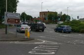
Gantry and mast arm signals on the A453 in Leicester.
Originally uploaded to Coppermine on Jan 10, 2006 by Bryn666
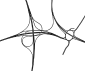
During the planning stage for the M69 several designs for the terminal junctions were considered. This was the most ambitious design for M1 J21. The design made use of the existing roundabout bridges beneath the M1. In addition the Leicester Outer Ring Road would have passed over the roundabout at the end of the former A46(M). There is one flaw in the design concerning the eastbound C/D road beneath the M1 where there is a very short weaving section immediately before the slip road to the northbound outer ring road.
Hidden categories:
