Gallery:A59

From Roader's Digest: The SABRE Wiki
Jump to navigation Jump to search
A1-A99 > A59


This gallery has no child categories
A59
 
 
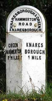
Knaresborough Milepost - Geograph - 1159429.jpg
Knaresborough Milepost
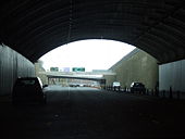
Exit from Kingsway Tunnel - Geograph - 1215615.jpg
Exit from Kingsway Tunnel
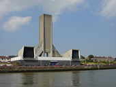
Mersey Tunnel Ventilation Shaft - Geograph - 76945.jpg
Mersey Tunnel Ventilation Shaft
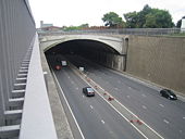
Liverpool- Kingsway Tunnel portal - Geograph - 471497.jpg
Liverpool: Kingsway Tunnel portal
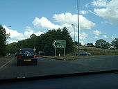
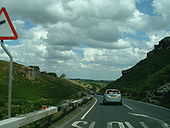
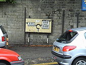
A65 - Coppermine - 7264.jpg
A65

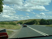
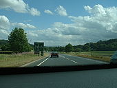
Multiplex with A59 north of Skipton

Originally uploaded to Coppermine on Aug 15, 2006 by Sunil_of_Yoxley
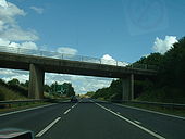
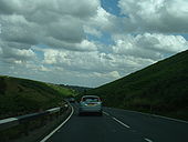
A65 - Coppermine - 7263.jpg
A65

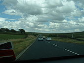
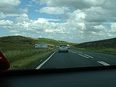
'S2+1' multiplex with A59 north of Skipton

Originally uploaded to Coppermine on Aug 15, 2006 by Sunil_of_Yoxley
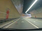
Exiting the Mersey Tunnel - Coppermine - 3655.jpg
Exiting the Mersey Tunnel

Twisting out into daylight after more than a mile underground - a feat of engineering!

Originally uploaded to Coppermine on Oct 01, 2005 by Sabrista
A59 s3.JPG
S3 road near Tarleton, Lancashire.
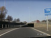
Wallasey Tunnel westbound approach 1.jpg
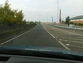
At the westbound entrance to the Wallasey Tunnel, that crossover point allows service vehicles exiting the tunnel to turn around.
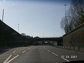
Wallasey Tunnel westbound approach 2.jpg
Approaching the Wallasey Tunnel.
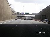
Wallasey Tunnel eastern choice of routes.jpg
The choice of routes at the eastern end of the tunnel.
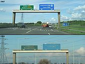
Switch Island Gantry - Coppermine - 11745.JPG
Switch Island Gantry

Seems the new one has a slight error...!

Originally uploaded to Coppermine on May 15, 2007 by Bryn666
A59 - Coppermine - 7292.jpg
A59 Originally uploaded to Coppermine on Aug 16, 2006 by Sunil_of_Yoxley
A59 - Coppermine - 7291.jpg
A59 Originally uploaded to Coppermine on Aug 16, 2006 by Sunil_of_Yoxley
A59 - Coppermine - 7290.jpg
A59 Originally uploaded to Coppermine on Aug 16, 2006 by Sunil_of_Yoxley
A59 - Coppermine - 7289.jpg
A59 Originally uploaded to Coppermine on Aug 16, 2006 by Sunil_of_Yoxley
A59 - Coppermine - 7288.jpg
A59 Originally uploaded to Coppermine on Aug 16, 2006 by Sunil_of_Yoxley
A59 - Coppermine - 7287.jpg
A59 Originally uploaded to Coppermine on Aug 16, 2006 by Sunil_of_Yoxley
A59 - Coppermine - 7286.jpg
A59 Originally uploaded to Coppermine on Aug 16, 2006 by Sunil_of_Yoxley
A59 - Coppermine - 7285.jpg
A59 Originally uploaded to Coppermine on Aug 16, 2006 by Sunil_of_Yoxley
A59 - Coppermine - 7284.jpg
A59

The turning for the US spy station, Menwith Hill!

Originally uploaded to Coppermine on Aug 16, 2006 by Sunil_of_Yoxley
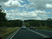
A59 - Coppermine - 7262.jpg
A59 Originally uploaded to Coppermine on Aug 15, 2006 by Sunil_of_Yoxley
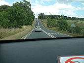
A59 - Coppermine - 7261.jpg
A59 Originally uploaded to Coppermine on Aug 15, 2006 by Sunil_of_Yoxley
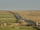
A59 Blubberhouses - Coppermine - 2900.jpg
A59 Blubberhouses

This is the A59 eastbound towards Harrogate just as you go over the summit at Blubberhouses moor and start going downhill. In the distance, the golf balls of RAF Menwith Hill, radar and Star Wars station. 3/8/05

Originally uploaded to Coppermine on Aug 08, 2005 by Lonewolf
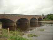
The new Bolton Bridge - Geograph - 1043715.jpg
The new Bolton Bridge
The A59 is now carried over the River Wharfe by this steel and concrete bridge a few yards downstream from the old Bolton Bridge. The road to the east of here was upgraded in the 1970's, but I think the bridge was replaced around 1990.
Salmesbury Interchange 1967.PNG
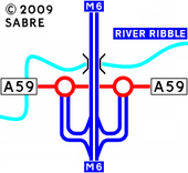
Salmesbury Interchange as it was in 1967
Salmesbury Interchange 1958.PNG
Salmesbury Interchange as it was in 1958
Wetherby.PNG
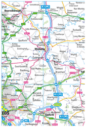
A couple of changes around the Wetherby area, with the A59 being rerouted via the A661/A658 to by pass Knaresborough, and a new Spofforth by pass on the A661.
A59 on Kexgill Moor - Geograph - 91792.jpg
A59 crossing the Pennines on Kexgill Moor
Skipton Pre-Worboys sign - Coppermine - 2380.jpg
Skipton Pre-Worboys sign

Pre-Worboys sign on the B6285 approaching Skipton town centre Originally uploaded to Coppermine on Jun 06, 2005 by multiraider2

This one is gone now - C2r November 2015
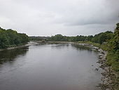
River Ribble - Geograph - 1474816.jpg
River Ribble
Looking downstream from New Bridge. The bridge what can be seen is the bridge built to take the A59 into Preston, when Guildway was built
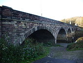
Brockholes Bridge - Geograph - 605582.jpg
Brockholes Bridge
Carries the A59 over the River Ribble
HPIM3029.JPG
At Longridge road we go to the right to meet with the A6/A59 multiplex and the A6063 ends here
HPIM3030.JPG
And the end at Ringway
HPIM3033.JPG
A6/A59 multiplex (ringway)
HPIM3034.JPG
A6/A59 split, Blackpool is signed via both the A583 and M55
HPIM3035.JPG
Incorrect signing, the A583 actually starts where it says 'except buses' the road marked A583 is the A5071
HPIM3036.JPG
Again, incorrect signing, it should read 'Blackpool A5071 (A583)'
HPIM3053.JPG
A59 bridge over A5072
HPIM3055.JPG
A59 bridge over River Ribble
HPIM3057.JPG
A59 and the start of the A5072, A59 bridge in the background
HPIM3063.JPG
A59 overpass from A5072
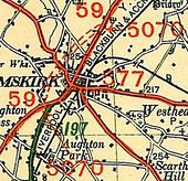
A5070-Ormskirk.jpg
Ormskirk in 1923
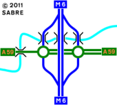
Salmesbury Interchange 2009.png
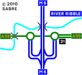
The Salmesbury Interchange as it was in 2009
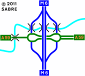
Salmesbury Interchange.PNG
The Salmesbury Interchange as it is today.
DSCN3819.JPG
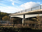
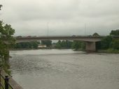
A59 bridge over the River Ribble next to junction 31 M6 close to Tickled Trout services.
DSCN3821.JPG
A59 crossing the River ribble at Preston, this was opened in the 1980's to enable a through route for the A59 into Preston city centre linking the Preston ringway.
 
 
Page 1, 48 file(s) of 78 shown
Page 1 2

SABRE - The Society for All British and Irish Road Enthusiasts
Discuss - Digest - Discover - Help