Gallery:A62
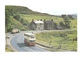
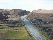
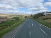
This is the original descent into Saddleworth from Standedge, the A62 is just off to the left in this picture, easing the gradient with a new (1839) embankment.
Originally uploaded to Coppermine on Apr 05, 2008 by Schult2 turnpikes crossed Standedge before the current A62 was settled upon. From this view, the first - Blind Jack's of 1759 - came from the left, crossed the road in front of the Great Western pub and continued over the moor on the right. The second went over to the left. The third was built in 1839, this cutting making life a lot easier for the horses.
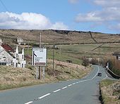
Originally uploaded to Coppermine on Apr 05, 2008 by SchultThe A62 does a dogleg ahead - you can see the road cutting across the side of the hill and up to Standedge. The ruined building is what's left of the Horse and Jockey pub. Off to the left of this picture are the remains of the Roman fort at Castleshaw. Before 1974, Saddleworth was part of Yorkshire. The Saddleworth White Rose Society celebrates Yorkshire Day on August 1st.
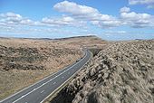
Originally uploaded to Coppermine on Apr 05, 2008 by SchultPule Hill beyond. There were several attempts at crossing the Pennines at Standedge. Blind Jack Metcalf of Knaresborough built the first (see Wikipedia for a picture of Blind Jack; he also built the road on which I live, the A56 Walmersley Road at Bury). 2 of the first routes went round the South side of Pule Hill i.e on the right in this picture. The A62 leaves these routes at the Carriage House pub, which can just be seen in front of Pule.
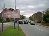
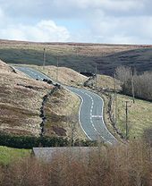
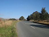
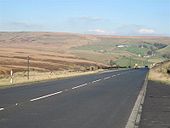
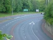
Originally uploaded to Coppermine on Apr 05, 2008 by SchultA62 climbing from Delph towards Standedge summit, showing the classic 'permissive' S2+1 pattern which is very appropriate here. Taken October 2007
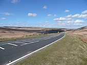
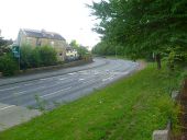
Originally uploaded to Coppermine on Oct 20, 2007 by PeterA5145The A62 descending from Standedge summit towards Marsden. This WS2 section may in the past have been S3 - much of this route is still S2+1. Taken October 2007
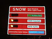
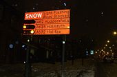
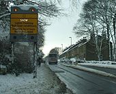
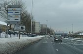
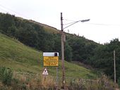
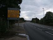
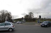
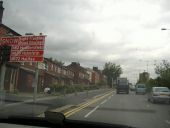
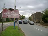
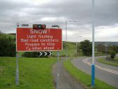
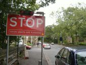
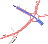
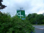
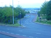
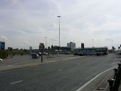
Originally uploaded to Coppermine on Oct 20, 2007 by PeterA5145Mumps Bridge roundabout, at the end of the Oldham bypass, is were you get to know in winter if the roads over the Pennines are open or closed.
To see this location in June 1964 (when there was traffic lights at this junction) click on http://saddleworthbuses.fotopic.net/p37691285.html )
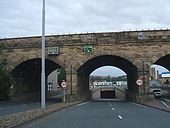
The bridge pictured above was demolished on the 28th of August 2010 to make way for the Metro Link Tram systemAfter months of being closed to traffic the bridge over the river Tame in the centre of Delph reopened in August 2007.
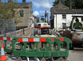
The bridge was completely rebuilt over a period of 3 months.
<a href='http://www.geograph.org.uk/photo/511330'>SD9807 : Bridge Repairs</a>
For more information about Delph click on <a title='http://www.delph.org.uk/index.html' rel='nofollow' href='http://www.delph.org.uk/index.html'>Link</a><img style='padding-left:2px;' alt='External link' title='External link - shift click to open in new window' src='http://s1.geograph.org.uk/img/external.png' width='10' height='10'/>
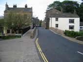
Major repair works are being undertaken this summer (2007) in the village of Delph to strengthen the bridge over the River Tame on High Street.
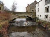
Looking upstream, over the small weir to Delph Bridge, which carries Delph High Street over the River Tame.
The bridge, which is a Grade II Listed structure, probably dates from the late 18th century. Not visible from this side, a 20th century footway has been added on the other side of the bridge (<a href='http://www.geograph.org.uk/photo/2257370'>SD9807 : River Tame, Delph Bridge</a>).
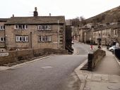
A view across the Grade II listed, 18th century humped bridge across the River Tame at Delph. The footway on the right hand side is a twentieth century addition, made necessary by the increased vehicular traffic on High Street.
The Romans crossed the Pennines somewhere in this view. Andrew Bibby (2005) describes the peculiar route of AD79-90 as zig-zagging across Close Moor on the left before crossing the hill on the skyline (that's the A640 up there) and making for the fort at Slack (Outlane Golf Club - you can see it driving West from J23 on the M62). 600 ft below and running left to right are the canal and 3 rail tunnels built between 1803 and 1894.
Originally uploaded to Coppermine on Apr 05, 2008 by Schult