Gallery:A679
From Roader's Digest: The SABRE Wiki
Jump to navigation
Jump to search
A600-A699 > A679
This gallery has no child categories
A679
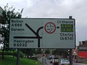
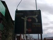
Another historic botched sign, this one also removed. It doesn't show primary status for the A666 towards Bolton, nor did it acknowledge the renumbering of the B6232 to then A6177 (now A6077). The bridge height is also 14'6'.
This was, at the time, the start (or end!) of the non-primary A679.
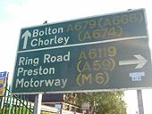
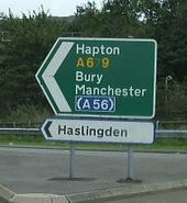
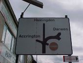
The complimenting local direction sign at the former start of the A679 and B6232. This has now been removed.
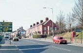
The A679 approaching Intack Crossroads. Note the hand painted direction sign in better times, unfortunately slightly cropped by the original photographer.
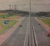
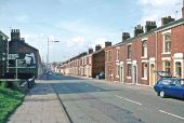
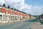
Audley Range when it was still the A679 and still had 1940s lighting columns with retrofitted SOX lighting.
Hidden categories:
