Gallery:A683
From Roader's Digest: The SABRE Wiki
Jump to navigation
Jump to search
A600-A699 > A683
A683
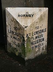
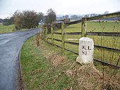
Milestone near Killington
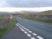
The milestone beside the A683 probably dates from the early 19th century. Set on Sedbergh to Greta Bridge turnpike road, 1762. (S = Sedbergh; KL = Kirkby Lonsdale).
The milestone beside the A683 probably dates from the early 19th century. Set on Sedbergh to Greta Bridge turnpike road, 1762. (S = Sedbergh; KL = Kirkby Lonsdale).
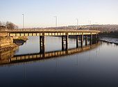
Greyhound Bridge, Lancaster
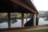
This is now a road bridge, opened in 1972, but was built in 1911 as a railway bridge. It is curved in plan, and is supported by round iron piers. The first (wooden) railway bridge was completed in 1848, and replaced by a steel bridge in 1864. In turn, this was replaced by the existing bridge. (See http://www.lancashire.gov.uk/environment/historichighways/allpurpose/greyhoundbridge.pdf)
This is now a road bridge, opened in 1972, but was built in 1911 as a railway bridge. It is curved in plan, and is supported by round iron piers. The first (wooden) railway bridge was completed in 1848, and replaced by a steel bridge in 1864. In turn, this was replaced by the existing bridge. (See http://www.lancashire.gov.uk/environment/historichighways/allpurpose/greyhoundbridge.pdf)
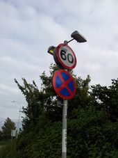
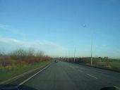
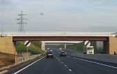
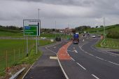
A683 Heysham-Lancaster Bypass, side road always National Speed Limit, no change. Odd signing though.
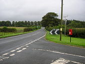
Non-ugly Vectras
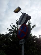
The Vectras here, on the A683, seem to work far better than many examples cited. The brackets are of a decent size, and the curved nature resembles more 'continental' installations. Also thankfully these models are flat-glass so don't even look ugly.
Originally uploaded to Coppermine on Feb 05, 2007 by Bryn666The A683 (C) Kate Jewell
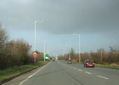
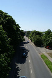
Looking towards Morecambe and the White Lund Trading Estate. This is the main road from Lancaster and Morecambe to Heysham Nuclear Power Stations and the port for the ferries to the Isle of Man and Dublin.
Looking towards Morecambe and the White Lund Trading Estate. This is the main road from Lancaster and Morecambe to Heysham Nuclear Power Stations and the port for the ferries to the Isle of Man and Dublin.
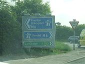
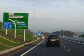
Dodgy direction sign at a dodgy motorway junction!
Originally uploaded to Coppermine on Aug 08, 2008 by Bryn666
A6/A683 junction, at the Greyhound Bridge complex in Lancaster.
Originally uploaded to Coppermine on Apr 24, 2005 by Bryn666
A6/A683 junction, Lancaster, at the Greyhound Bridge complex.
Originally uploaded to Coppermine on Apr 24, 2005 by Bryn666
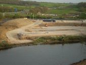
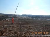
Heysham to M6 link road junction The Heysham to M6 link road opened on 31 October 2016.
This new junction on Slyne Road (A6) gives access to the new road at Beaumont Roundabout.
Hidden categories:


