Gallery:A684

From Roader's Digest: The SABRE Wiki
Jump to navigation Jump to search
A600-A699 > A684


This gallery has no child categories
A684
 
 
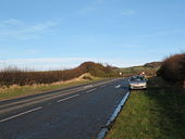
A684 slip road at Ellerbeck - Geograph - 323108.jpg
A684 slip road at Ellerbeck
Junction 37 - Geograph - 748358.jpg
Junction 37
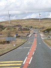
Lambrigg Wind Farm - Geograph - 951745.jpg
Lambrigg Wind Farm
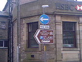
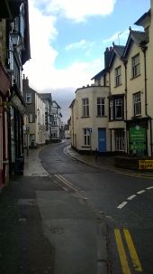
A684 - Hawes - Coppermine - 18213.jpg
A684 - Hawes

One Section Of Hawes' Mini One Way System Which Can Become Quite Confusing. Also Directions To The Dales Countryside Museum.

Originally uploaded to Coppermine on Jun 01, 2008 by Strawberries258
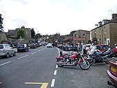
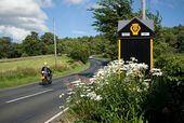
Hawes on a day the bikers came to call - Geograph - 1754373.jpg
Hawes on a day the bikers came to call
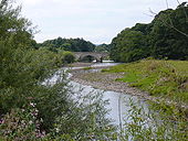
Wensley Bridge on River Ure - Geograph - 1435803.jpg
Wensley Bridge on River Ure
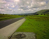
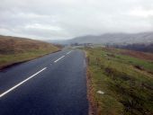
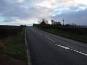
A684 - Coppermine - 22706.jpg
A684

A684 near West Mostland, looking west

Originally uploaded to Coppermine on Jul 21, 2009 by haymansafc
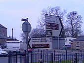
A684 - Hawes - Coppermine - 18215.jpg
A684 - Hawes

Probably Hawes' Main Junction If Heading Westbound, And Even This Isnt Even A Roundabout. Also The Wensleydale Cheese Factory Can Be Reached, By Heading Down The Mini One Way System.

Originally uploaded to Coppermine on May 31, 2008 by Strawberries258
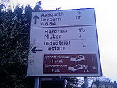
A684 - Hawes - Coppermine - 18212.jpg
A684 - Hawes

Found Running Down The A684, Central Road Via Hawes, Only 17 Miles To Leyburn.

Originally uploaded to Coppermine on May 31, 2008 by Strawberries258
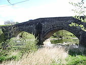
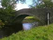
Lincoln's Inn Bridge - Geograph - 405263.jpg
Lincoln's Inn Bridge
Carries the A684 over the River lune
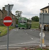
A684-bainbridge1.jpg
It could almost be the 1960s again - Classic Bus on the one-way section of the A684 in Bainbridge, Wensleydale
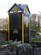
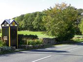
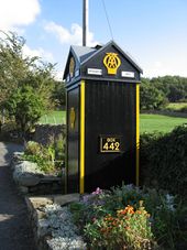
AA Box 442 - Geograph - 906370.jpg
AA Box 442
AA Box 442 - Geograph - 639035.jpg
AA Box 442
AA phone box near Hestholme Bridge - Geograph - 2150925.jpg
AA phone box near Hestholme Bridge
Old AA Box, Aysgarth - Coppermine - 15510.JPG
Old AA Box, Aysgarth

This is obviously someone's pride and joy.

Originally uploaded to Coppermine on Oct 10, 2007 by leopard680
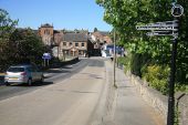
Bedale the A684 by the railway station (C) roger geach - Geograph - 2389231.jpg
Bedale the A684 by the railway station (C) roger geach
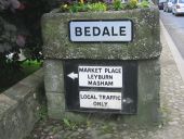
Bedale pw sign.jpg
Pre-Worboys sign on the bridge over the River Swale at Bedale.
A684 Tom Croft layby.jpg
The A684 nearing Sedbergh.
A684 heading east (C) JThomas - Geograph - 3278674.jpg
A684 heading east (C) JThomas
Towards the A19.
20160203-0925 - Main Street, Sedbergh (A684) 54.3235736N 2.528461W.jpg
Main Street, Sedbergh (A684)
New Bridge, Appersett - Geograph - 2072997.jpg
New Bridge, Appersett A 'weak bridge' sign has been attached for as long as I can remember.
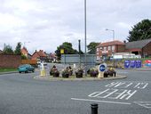
Northallerton - Roundabout at Brompton Road (south end) - Geograph - 507584.jpg
Northallerton - Roundabout at Brompton Road (south end)
Overhead Sign Gantry, A1(M) approaching Leeming Bar - Geograph - 6402029.jpg
Overhead Sign Gantry, A1(M) approaching Leeming Bar The Leeming Interchange is junction 51 of the A1(M).

This junction was built to serve the new A684 Leeming Bar bypass. it acted as a northern temporary terminus of the A1(M) for a few years, until late 2016 when the Leeming to Barton improvements opened.

cc-by-sa/2.0 - © David Dixon - geograph.org.uk/p/6402029
 

SABRE - The Society for All British and Irish Road Enthusiasts
Discuss - Digest - Discover - Help