Gallery:A71

From Roader's Digest: The SABRE Wiki
Jump to navigation Jump to search
A1-A99 > A71


This gallery has no child categories
A71
 
 
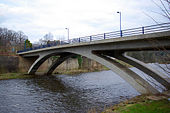
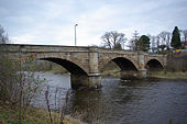
A71 crossing the River Irvine - Geograph - 1669659.jpg
A71 crossing the River Irvine

== Summary ==

Old Garrion Bridge.jpg
New Garrion Bridge.jpg
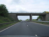
Bridge over the A71 - Geograph - 178483.jpg
Bridge over the A71
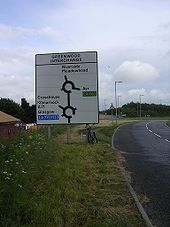
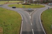
A71 roundabout - Coppermine - 13990.jpg
A71 roundabout

Note the painful A77(M) direction!

Originally uploaded to Coppermine on Jul 17, 2007 by scynthius726
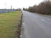
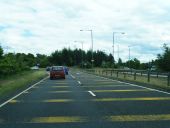
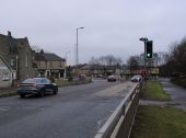
Approaching Waterloo along the A71 - Geograph - 1712405.jpg
Approaching Waterloo along the A71
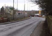
A71 - M74 Road Junction - Geograph - 1789409.jpg
A71 - M74 Road Junction
Looking along the A71 towards Canderside Toll with the sliproad to and from the southbound carriageway of the M74 on the left.
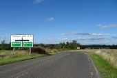
Lizzie Brice's Roundabout - Geograph - 43110.jpg
Lizzie Brice's Roundabout
Often misspelled as 'Lizzie Bryce' or 'Lizzy Bryce's Roundabout'.

Anyway it says on the sign 'Lizzy Brice's Roundabout'. Lizzie Brice or Bryce (In the old records, her name is always spelled with a Y - Bryce, not Brice).


The famous, the wealthy and the notorious are always remembered and history generally overlooks the poor and the ordinary, so it is pleasing to have a memorial to a poor woman, whose life was typical, unremarkable, and yet unique.
...
More info:
...

<a title='http://www.brycek.pwp.blueyonder.co.uk/Lizzie%20Bryce.htm' rel='nofollow' href='http://www.brycek.pwp.blueyonder.co.uk/Lizzie%20Bryce.htm'>Link</a><img style='padding-left:2px;' alt='External link' title='External link - shift click to open in new window' src='http://s0.geograph.org.uk/img/external.png' width='10' height='10'/>
Kilmarnock 1960 - Coppermine - 22846.jpg
Kilmarnock 1960

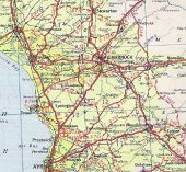
1960 road atlas showing the original plan for Kilmarnock Bypass, some of which was built, the D2 Western Road and Munro Avenue, these have now been hatched off to D1. Originally uploaded to Coppermine on Aug 09, 2009 by bobklaker

This page includes a scan of a non-free copyrighted map, and the copyright for it is most likely held by the company or person that produced the map. It is believed that the use of a limited number of web-resolution scans qualifies as fair use under United States copyright law, where this web page is hosted, as such display does not significantly impede the right of the copyright holder to sell the copyrighted material, is not being used to generate profit in this context, and presents information that cannot be exhibited otherwise.
If the copyright holder considers this is an infringement of their rights, please contact the Site Management Team to discuss further steps.

M74 first section.jpg
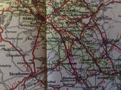
Taken form a 1965 road map, showing the M74 under construction form junctions 5 to 8. When it opened in 1966, this was Scotland's 3rd motorway, behind the M8 and M90.

This page includes a scan of a non-free copyrighted map, and the copyright for it is most likely held by the company or person that produced the map. It is believed that the use of a limited number of web-resolution scans qualifies as fair use under United States copyright law, where this web page is hosted, as such display does not significantly impede the right of the copyright holder to sell the copyrighted material, is not being used to generate profit in this context, and presents information that cannot be exhibited otherwise.
If the copyright holder considers this is an infringement of their rights, please contact the Site Management Team to discuss further steps.

B7078 (original A74) Canderside Toll (M74 J8) - Coppermine - 18655.JPG
B7078 (original A74) Canderside Toll (M74 J8)

This is the start of the interesting sections of old A74 on the journey south from Glasgow

Originally uploaded to Coppermine on Jun 18, 2008 by leopard680
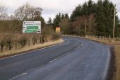
Directions sign, Canderside Toll B7078 (ex A74) - Coppermine - 18656.JPG
Directions sign, Canderside Toll B7078 (ex A74)

Looking north on this old section, you're pretty high up and can see right across the Clyde Valley to the Campsie Fells in the far distance, and on a good day like this, Ben Lomond is visible a bit further to the left.

Originally uploaded to Coppermine on Jun 18, 2008 by leopard680
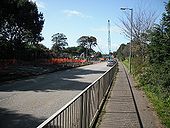
C--fakepath-A71 near Loudoun Hill.jpg
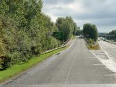
It might be a bit potholed, but the A71 is nonetheless majestic as it sweeps past Loudoun Hill in Ayrshire.
A71 Calder Bridge.jpg
The A71 westbound over Calder Bridge.
A71 Burnbank.jpg
The A71 eastbound near Burnbank.
20190313 205721859 iOS.jpg
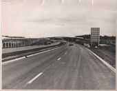
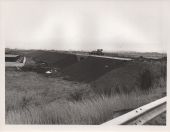
A71, 1978, Phase 1, Bridge 4, footbridge. Dreghorn, looking east.
20190313 192349452 iOS.jpg
A71, 1978, Phase 1, Bridge 5, over B730, looking north towards Dreghorn.
20190313 191833023 iOS.jpg
A71, 1978, Phase 1, Bridge 1. Looking east from A78 southbound sliproad to Warrix Interchange
Scan 1.jpg
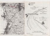
A71. Phase 2 opening leaflet.
Scan 2.jpg
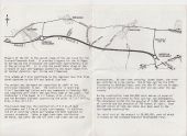
A71. Phase 2 opening leaflet.
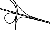
Greenwood Interchange original layout.png
The layout of Greenwood Interchange as built until it became a dumbbell interchange in 2000
Corsehill Mount Roundabout, A71 - Geograph - 2055810.jpg
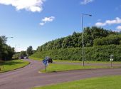
Corsehill Mount Roundabout, A71 Exit to Holmsford Bridge Crematorium on the left.
A71 at Moorfield Roundabout - Geograph - 3525185.jpg
A71 at Moorfield Roundabout
Sliproad from Kilmarnock Bypass to A71 at Bellfield Interchange - Geograph - 6385157.jpg
Sliproad from Kilmarnock Bypass to A71 at Bellfield Interchange
A71-73-newmains.jpg
The A71 / A73 fork at Newmains
Newmains-rbt.jpg
Newmains Roundabout from the A71 / A73 multiplex to the south
B715-headlesscross.jpg
B715 approaching Headless Cross on the A71
Approaching junction on the A706, Breich - Geograph - 6969579.jpg
Approaching junction on the A706, Breich Towards Whitburn.
Plaque, Cander Bridge - Geograph - 4208700.jpg
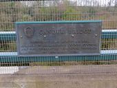
Cander Bridge plaque Opened by John M McEwan Esq. Member of Lanarkshire County Council for the Stonehouse Electorial Division on 29th April 1966.
Cander Bridge - Geograph - 1789423.jpg
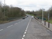
Cander Bridge Opened on the 29th April 1966, the Cander Bridge carries the A71 across the Cander Water. Here we are looking in the direction of Stonehouse.
Foulertoun-arches1.jpg
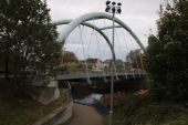
Foulertoun Arches carrying the A71 over the River Irvine in Irvine
A71-annick-water-br.jpg
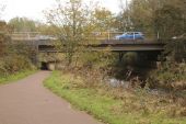
The A71 bridge over the Annick Water in Irvine
Galston-rbt.jpg
Galston Roundabout on the A71 and A719 as seen from the nearby footbridge over the A71 which provides access to the towns High School.
 

SABRE - The Society for All British and Irish Road Enthusiasts
Discuss - Digest - Discover - Help