Gallery:A82

From Roader's Digest: The SABRE Wiki
Jump to navigation Jump to search
A1-A99 > A82


A82
 
 
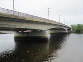
Friars Bridge - Geograph - 518362.jpg
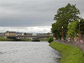
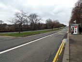
Friars Bridge
Looking downstream from Bank Street.
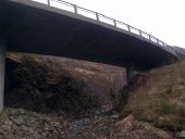
A82 bridge works.jpg
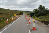
A82 Ba Bridge roadworks
A82 Ba Bridge replacement.jpg
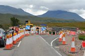
The existing Ba Bridge on the left is being replaced while a temporary structure is in place alongside to keep the traffic moving.
Glencoe1.jpg
Glencoe Crossroads immediately before work started on the closing of the turning lane
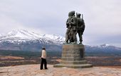
Commando Memorial - Geograph - 1247270.jpg
Commando Memorial
Sculpted by Scott Sutherland in 1951 this 17 foot (5.1m) monument lies 2km north west of Spean Bridge, Scotland. It commemorates the setting up of a unit of commando's on the orders of Winston Churchill in 1940. The training was carried out 6km to the north west at Achnacarry.
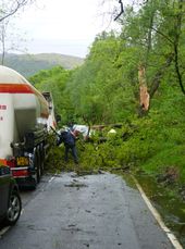
P1000970.JPG
Tree blocking the A82 south of Crianlarich, on John and Kenny's journey home
Friars Bridge 1.jpg
Friar's Bridge crossing the River Ness in Inverness, looking North
Friars Bridge 2.jpg
Friar's Bridge crossing the River Ness in Inverness, looking North
Friars Bridge plaque.jpg
Opening plaque on the Friar's Bridge crossing the River Ness in Inverness
Dev-stair.jpg
The Devil's Staircase climbing up from Rannoch Moor
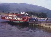
Ballachulishferry.jpg
Screenshot from "Ballachulish Ferry" video
38.jpg
Ballachulish Bridge, on Sabre Highland Road Trip 2010
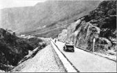
A82 Glencoe Pass - 1934.jpg
A section of the newly reconstructed and sealed A82 across Glencoe Pass, 1934. Photograph taken by New South Wales Department of Main Roads Chief Engineer (Country), Mr D. Craig, during an inspection of roadmaking in Great Britain in 1934.
120120131480.jpg
The Study
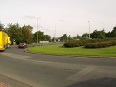
Barloan Roundabout - Geograph - 533262.jpg
Barloan Roundabout
A82.JPG
A82
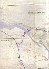
Glasgow Highway Plans circa 1965 - Coppermine - 4808.jpg
Glasgow Highway Plans circa 1965 Originally uploaded to Coppermine on Feb 21, 2006 by scynthius726
M898 Erskine Bridge - Coppermine - 4796.jpg
M898 Erskine Bridge

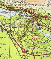
This late 1960's map shows the Erskine Bridge as part of the M898. Of course, today, the M898 ends at the junction to the south of the bridge. Originally uploaded to Coppermine on Feb 18, 2006 by DavidBrown

This page includes a scan of a non-free copyrighted map, and the copyright for it is most likely held by the company or person that produced the map. It is believed that the use of a limited number of web-resolution scans qualifies as fair use under United States copyright law, where this web page is hosted, as such display does not significantly impede the right of the copyright holder to sell the copyrighted material, is not being used to generate profit in this context, and presents information that cannot be exhibited otherwise.
If the copyright holder considers this is an infringement of their rights, please contact the Site Management Team to discuss further steps.

Green plasic disc on base of marker posts on A82 near Corran Ferry - Coppermine - 4341.jpg
Green plasic disc on base of marker posts on A82 near Corran Ferry Originally uploaded to Coppermine on Jan 01, 2006 by J--M--B
Mast arm signal on the A82 at Dumbarton. - Coppermine - 4435.JPG
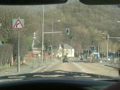
Mast arm signal on the A82 at Dumbarton. Originally uploaded to Coppermine on Jan 10, 2006 by Bryn666
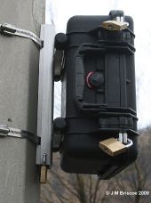
Plastic box on lamp-post - Coppermine - 16751.jpg
Plastic box on lamp-post

This black box has appeared on a lamp-post on the A82. There is no connection to it i.e. no power, no sensor in road surface.

Originally uploaded to Coppermine on Feb 05, 2008 by J--M--B
Plastic box on lamp-post - Coppermine - 16749.jpg
Plastic box on lamp-post

This black box has appeared on a lamp-post on the A82. There is no connection to it i.e. no power, no sensor in road surface.

Originally uploaded to Coppermine on Feb 05, 2008 by J--M--B
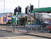
Toucan crossing, Longman Road (A82), Inverness - Coppermine - 5247.jpg
Toucan crossing, Longman Road (A82), Inverness

Toucan crossing which was originally a pelican. The original farside pedestrian signals have simply been replaced with nearsides, keeping the existing traffic signals.

Originally uploaded to Coppermine on Apr 01, 2006 by Glen
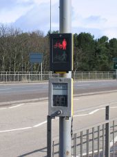
Toucan crossing, Longman Road (A82), Inverness - Coppermine - 5246.jpg
Toucan crossing, Longman Road (A82), Inverness

The original pelican push button with new nearside signal.

Originally uploaded to Coppermine on Apr 01, 2006 by Glen
Toucan crossing, Longman Road (A82), Inverness - Coppermine - 5248.jpg
Toucan crossing, Longman Road (A82), Inverness

Toucan crossing with slightly squint cranked posts.

Originally uploaded to Coppermine on Apr 01, 2006 by Glen
M82 junction - Coppermine - 21338.jpg
M8 / M81 junction Originally uploaded to Coppermine on Feb 03, 2009 by Gav
Great Western Road (C) Thomas Nugent - Geograph - 3914933.jpg
Great Western Road (C) Thomas Nugent
The A82 is the main road leading west north of the Clyde. It starts slightly east of here and runs all the way to Inverness, a distance of 167 miles.
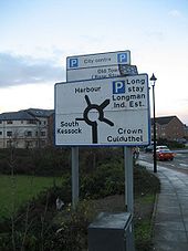
Inverness car park VMS - Coppermine - 9482.jpg
Inverness car park VMS

The new LED car park information signs are now operating in Inverness, but this one isn't much use as the older sign in front of it hasn't been removed.

A82 Friars Bridge

Originally uploaded to Coppermine on Dec 09, 2006 by Glen
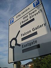
Inverness car park signs - Coppermine - 8525.jpg
Inverness car park signs

New car park ADS on approaches to Inverness city centre which will display parking spaces. The LED displays were installed just before I took this photo.

Originally uploaded to Coppermine on Oct 17, 2006 by Glen
DSCF1559.JPG
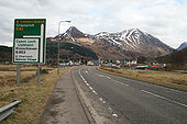
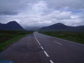
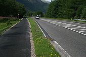
The A82 heading towards Glencoe
A82 Urquhart Castle - direction and drive on left signs.jpg
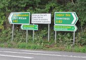
Direction signs in Gaelic and English and drive on left sign in four languages on the A82 at Urquhart Castle.
Great Western Road (C) Thomas Nugent - Geograph - 1179055.jpg
Great Western Road (C) Thomas Nugent
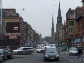
Viewed from St George's Cross.
A82 disappears into the Study.jpg
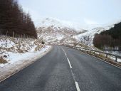
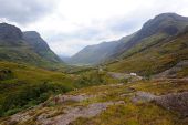
Tall mountains either side of the A82 overwhelm the presence of the road and make the lorry seem tiny
Glencoe New Road.jpg
Charming photo of new road blasted through Glencoe in the early 1930s. Note the work camp in the valley bottom.
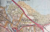
Inverness + Longman form 80s.jpg
Another reason as to why the longman roundabout was not grade separated due to the obvious reason that, at the time, it didn't lead anywhere incredibly important compared to today where the road crosses Friars Bridge and bypasses the city centre. This photo also shows the pre dualled A96 heading towards the non existent retail park!
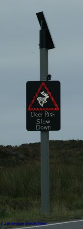
Vehicle activated deer warning sign A82 Glencoe - Coppermine - 20128.jpg
Vehicle activated deer warning sign A82 Glencoe Originally uploaded to Coppermine on Sep 25, 2008 by J--M--B
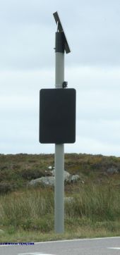
Vehicle activated deer warning sign - Coppermine - 19983.jpg
Vehicle activated deer warning sign

This is one of four vehicle activated deer warning sign on the A82 over Glencoe / Rannoch Moor.

I did not manage to catch it illuminated will try again next time down there.

<Picture of deer>

DEER WARNING SLOW DOWN

Originally uploaded to Coppermine on Sep 10, 2008 by J--M--B
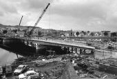
Friars bridge construction.jpg
The construction of friars bridge nearing completion.
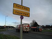
Inverness P&R - Coppermine - 9528.jpg
Inverness P&R

Park and Ride sign in Inverness, now amended with metal strips instead of masking tape.

Originally uploaded to Coppermine on Dec 15, 2006 by Glen
Balla-arch7.jpg
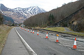
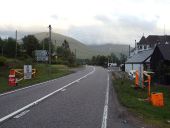
The foreshortening of the right turn lane clearly visible with the new kerb line swinging into the former roadway
Balla-arch1.jpg
Work in progress at Ballachulish Arch
Barloan Toll Roundabout - Geograph - 2772097.jpg
Barloan Toll Roundabout The picture was taken from a path that leads up into Bellsmyre. As the name suggests, Barloan Toll was located on the boundary of the burgh.

When trams were running in Dumbarton (from 1907 to 1928), there was a branch line to Barloan Toll (now the site of the roundabout). The branch line left the main line at Church Place (beside 3309889) and followed 620117, Strathleven Place, and 1479101 [see "Dumbarton's Trams and Buses", A.W.Brotchie and R.L.Grieves, 1985].

Compare 3357857.
M8 motorway 1971.jpg
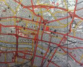
The Glasgow section of the M8 from 1971. Note the Kingston bridge southern terminus, the construction of the Charing Cross section and the A82 extension and the unusual looking J15 which is where M8 became the A8 again on the way to Edinburgh.

This page includes a scan of a non-free copyrighted map, and the copyright for it is most likely held by the company or person that produced the map. It is believed that the use of a limited number of web-resolution scans qualifies as fair use under United States copyright law, where this web page is hosted, as such display does not significantly impede the right of the copyright holder to sell the copyrighted material, is not being used to generate profit in this context, and presents information that cannot be exhibited otherwise.
If the copyright holder considers this is an infringement of their rights, please contact the Site Management Team to discuss further steps.

Tomnahurich rdbt.jpg
New sign for Inverness west link
Queens Rdbt.jpg
Queens roundabout built as part of the Inverness West link. This has been built for access to the new swing bridge thats not been built yet so currently its not very useful. 2 new underpasses have been built for when that does happen though.
A82-snow1.jpg
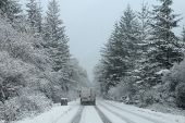
The A82 north of Invergarry after a heaby overnight snowfall in December 2017
Snow gates on A82 at Bridge of Orchy - Geograph - 4551338.jpg
Snow gates on A82 at Bridge of Orchy The orange gates can be closed if the A82 trunk road is impassable due to snow.
Br-oich4.jpg
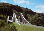
Bridge of Oich, near Fort Augustus. One of James Dredge's 'Suspension Bridges'.
 
 
Page 1, 48 file(s) of 77 shown
Page 1 2
Gallery of A82 related videos
 
   
Ballachulish Ferry (1973)
   
Ballachulish Ferry (1926)

SABRE - The Society for All British and Irish Road Enthusiasts
Discuss - Digest - Discover - Help