Gallery:A832

From Roader's Digest: The SABRE Wiki
Jump to navigation Jump to search
A800-A899 > A832


This gallery has no child categories
A832
 
 
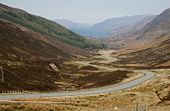
A832-kinlochewe.jpg
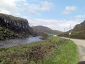
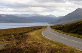
Looking westwards down the A832 to Kinlochewe and Loch Maree
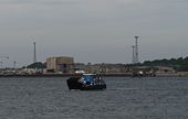
Nigg-ferry.jpg
The little Nigg Ferry heading into Cromarty
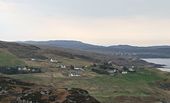
A832-gruinard.jpg
The A832 passing through Second Coast near Gruinard Bay
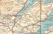
Black-isle.jpg
The Black Isle road network in 1933, before the 1935 renumberings This page contains scans from a map that is believed may be out of copyright according to UK Crown Copyright, UK Copyright Law for other maps published in the United Kingdom, or Irish Government Copyright, is not being used to generate profit in this context, and presents information that cannot be exhibited otherwise.
If the copyright holder considers this is an infringement of their rights, please contact the site management team to discuss further steps.
Destitution Road - Geograph - 7292.jpg
Destitution Road
The road linking Little Loch Broom to Braemore was originally built as a project to provide employment in the famines of the 1840s.
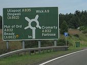
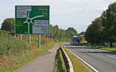
Old ADS on A9 - Coppermine - 20151.jpg
Old ADS on A9

ADS at Tore Roundabout original to the road which was replaced in 2008.

Originally uploaded to Coppermine on Sep 29, 2008 by Glen
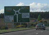
New ADS on A9 - Coppermine - 20150.jpg
New ADS on A9

New advance direction sign at the Tore Roundabout on the A9 which replaced the horrible looking 25+ year old ones.

Originally uploaded to Coppermine on Sep 29, 2008 by Glen
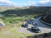
A832 Little Gruinard.jpg
A stop on the roadtrip for photos of the A832 by Gruinard Bay.
A832-garguston1.jpg
Re-profiled bend on A832 near Garguston
A832-garguston2.jpg
Abandoned section of road at re-profiled bend on A832 near Garguston
A832-balvattie.jpg
Abandoned section of road at re-profiled bend on A832 near Balvattie
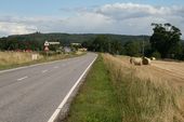
A832-b9169.jpg
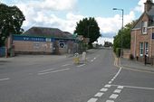
Staggered crossroads between A832 and B9169 to the east of Muir of Ord
Muir1.jpg
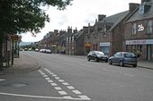
Muir of Ord from the eastern arm of the A832. Dead ahead is the narrow railway bridge that is the multiplex of the A862 and A832. The old Great North Road leads off to the right
Muir2.jpg
Looking south along the A862 in Muir of Ord, from the A832 junction
Muir3.jpg
The narrow railway bridge on the A862/A832 multiplex through Muir of Ord
A835-tore1.jpg
Heading south to the end of the A835 at the Tore Roundabout
A832-tore1.jpg
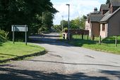
The old alignment of the A832 at Tore, abandoned when the new roundabout was built c1982
Moy Bridge 1.jpg
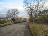
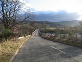
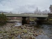
Moy Bridge crossing the River Conon, looking North
Moy Bridge 2.jpg
Moy Bridge crossing the River Conon, looking South
Moy Bridge 3.jpg
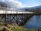
Moy Bridge crossing the River Conon, viewed from upstream
Moy Bridge 4.jpg
Moy Bridge crossing the River Conon, viewed from upstream
Bridge to Ledgowan Lodge from A832 - Geograph - 2472391.jpg
Bridge to Ledgowan Lodge from A832
A832 Bridge of Grudie.jpg
Bridge of Grudie on the A832
Bridge of Grudie.jpg
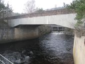
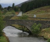
Bridge of Grudie on the A832 crossing the River Grudie, the outflow from the Grudie Bridge Power Station can be seen beyond the bridge.
Bridge of Grudie 2.jpg
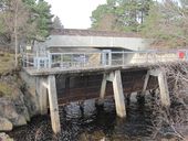
Bridge of Grudie, where the A832 crosses the River Grudie, screens for the power station's outflow are in the foreground.
A832 Ice warning.jpg
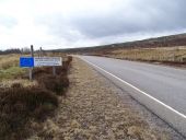
Ice warning sign on the A832
A832 Red squirrel crossing.jpg
Temporary other danger sign with red squirrel crossing plate on A832
Tore - Pedestrians Reduce speed now.jpg
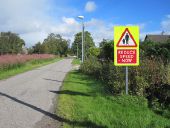
Pedestrians warning on the former A832 at Tore.
A832 Braemore - Blind summit.jpg
Blind summit warning sign on the A832 near Braemore.
A832.jpg
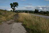
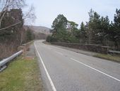
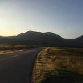
A832 looking north west towards Loch Maree
A862 Muir of Ord railway bridge traffic signals.jpg
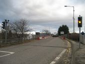
A862 bridge crossing the railway in Muir of Ord which has been narrowed to a single lane and controlled by traffic signals.
A832 runs beside Am Feur-Loch (C) Stuart Logan - Geograph - 2473403.jpg
A832 runs beside Am Feur-Loch (C) Stuart Logan
Feur-Loch is grassy loch?
A832 road to Gairloch (C) Steven Brown - Geograph - 2229729.jpg
A832 road to Gairloch (C) Steven Brown
Cottages in Avoch (C) Richard Dorrell - Geograph - 3800514.jpg
Cottages in Avoch (C) Richard Dorrell
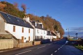
Lit by the winter sun, these cottage fronting onto the A832 road, look out over Avoch Harbour.
Achnasheen1.jpg
Achnasheen roundabout looking down the A890, with the A832 crossing
Ledgowan-br3.jpg
The old Ledgowan Bridge at Achnasheen, with the A832 heading west in the distance
A832 Little Loch Broom.jpg
A832 looking east alongside Little Loch Broom
A832-snow1.jpg
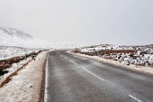
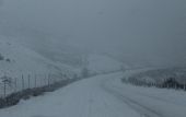
The A832 between Achnasheen and Garve as the light fails under a heavy snow shower
119723157 326554255116268 8340752032527336723 n(1).jpg
A832
A832 Corrieshalloch - Drive on left sign.jpg
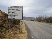
Drive on the left sign on A832 at Corrieshalloch Gorge
A832 Kinlochewe - WRCT NB ADS.jpg
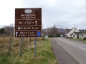
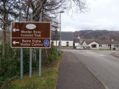
Direction sign for the Wester Ross Coastal Trail on the A832 in Kinlochewe.
A896 Kinlochewe - WRCT WB ADS.jpg
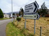
Direction sign for the Wester Ross Coastal Trail on the A896 in Kinlochewe
A896 Kinlochewe - Flag signs.jpg
Direction sign at the start of the A896 at its junction with the A832 in Kinlochewe
A832 Kinlochewe - viewpoint project sign.jpg
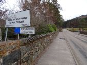
Project information sign for the Viewpoint to Kinlochewe upgrade of the A832
A832 Kinlochewe - junction looking east.jpg
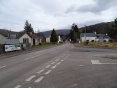
Junction of the A832 and A896 in the village of Kinlochewe in Wester Ross
A832 Kinlochewe - bridge from south.jpg
Kinlochewe Bridge bridge on the A832 crossing A' Ghairbhe
A832 Lubmore - ERDF sign.jpg
European funding sign on the A832 between Kinlochewe and Achnasheen
A832 070623 Rosemarkie 1.jpg
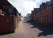
A832 looking south up High Street, Rosemarkie.
 
 
Page 1, 48 file(s) of 63 shown
Page 1 2

SABRE - The Society for All British and Irish Road Enthusiasts
Discuss - Digest - Discover - Help