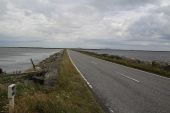
Gallery:A865

From Roader's Digest: The SABRE Wiki
Jump to navigation Jump to search
A800-A899 > A865


This gallery has no child categories
A865
 
 
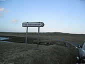
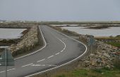
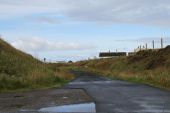
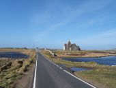
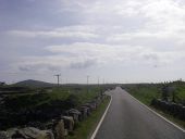
C83 North Uist - Coppermine - 373.jpg
C83 'Committee Road' North Uist

OP J-M-B

Originally uploaded to Coppermine on Apr 06, 2005 by M4Simon
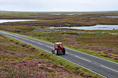
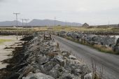
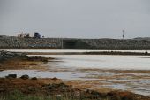
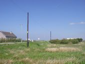
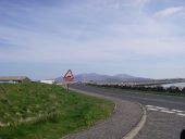
C83 'Committee Road' North Uist - Coppermine - 372.jpg
C83 'Committee Road' North Uist

OP J-M-B

Originally uploaded to Coppermine on Apr 06, 2005 by M4Simon
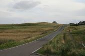
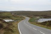
Sheepfold in front of Loch an Athain - Geograph - 939925.jpg
Sheepfold in front of Loch an Athain
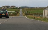
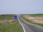
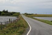
A - B - C - Coppermine - 23356.jpg
A - B - C

Three classes of road on the same sign. Near Lochboisdale, on South Uist.

Originally uploaded to Coppermine on Oct 20, 2009 by bealach na ba
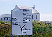
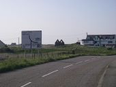
Signpost South Uist C88 - Coppermine - 1679.jpg
signpost South Uist C88

Posted by GRC_697 on 4/21/2004

Originally uploaded to Coppermine on Apr 27, 2005 by M4Simon
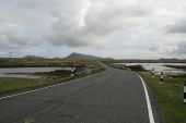
N-ford1.jpg
Looking north east along the North Ford Causeway across Grimsay, with the hills of North Uist in the distance
N-ford2.jpg
The final stretch of the North Ford Causeway approaching Benbecula, with the airport off to the right. This section has only been upgraded to S2 in the last few years.
Baleshare-cswy.jpg
The Bale Share Causeway, looking back to North Uist
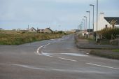
A865-creagorry1.jpg
Looking north on the A865 in Creagorry
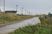
A865-creagorry2.jpg
Looking east on the A865 in Creagorry
A865-creagorry3.jpg
Abandoned approach to the South Ford Bridge, replaced by the new approach to the causeway behind the bank. note the old passing place diamond left behind
S-ford1.jpg
The South Ford Causeway as seen from Creagorry
S-ford2.jpg
The South Ford Causeway, close up on the bridge, as seen from Creagorry
A865-n-uist1.jpg
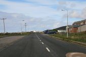
The A865 heading west across the moorland towards Scolpaig
A865-sollas1.jpg
Looking east out of Sollas on the A865
A865-sollas2.jpg
Looking west through Sollas on the A865
Lochboisdale.jpg
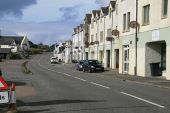
The A865 in Lochboisdale, looking west away from the ferry pier.
A865-daliburgh.jpg
Looking north out of Daliburgh on the A865 on South Uist
A865-works1.jpg
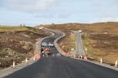
Road realignment and widening near Bornais on South Uist
A865-works2.jpg
Road realignment and widening near Bornais on South Uist. Note the temporary, gravel road surface in use.
Approaching Kilmuir and Paible Church (C) Barbara Carr - Geograph - 3307089.jpg
Approaching Kilmuir and Paible Church (C) Barbara Carr
Causeway.jpg
The causeway connecting South Uist to Eriskay, Outer Hebrides, heading south.
20180524-1051 - A865 Direction sign for B892, Benbecula 57.4159693N 7.3376549W.jpg
A865 Direction sign for B892, Benbecula
20180524-1702 - B888 and C88 junction with A865 at Daliburgh 57.1664361N 7.3723397W.jpg
B888 and C88 junction with A865 at Daliburgh looking north
20180523-1042 - A865 Allow Overtaking 57.5551914N 7.3409496W.jpg
A865 Allow Overtaking - North Uist
20180523-1442 - A865 North Ford Causeway 57.5126543N 7.2702218W.jpg
A865 North Ford Causeway
20180523-1539 - A865 North Ford Causeway to Grimsay 57.4966621N 7.2731338W.jpg
North Ford Causeway between Grimsay and Benbecula
20180523-1629 - South Ford Causeway 57.4076576N 7.326657W.jpg
South Ford Causeway
20180523-1637 - A865 crossing Loch Bi, South Uist 57.3433287N 7.361539W.jpg
A865 crossing Loch Bi, South Uist
A865-olaidh.jpg
The A865 crossing Loch Olaidh. Technically, it is Loch Olaidh an Iar (East) to the right and Loch Olaidh Meadhanach (middle) to the left. It is difficult to tell if this is an old Causeway, or a natural bank between the two lochs.
A865-stilligarry.jpg
The A865 crossing the causeway over the western end of Loch Druidbeag just north of Stilligarry
A865-loch-bee.jpg
The A865 crossing Loch Bee Causeway
 

SABRE - The Society for All British and Irish Road Enthusiasts
Discuss - Digest - Discover - Help