Gallery:A9/Easter Ross

From Roader's Digest: The SABRE Wiki
Jump to navigation Jump to search
A9 > A9/Easter Ross


This gallery has no child categories
A9/Easter Ross
 
 
B817-alness1.jpg
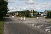
One of only 2 roundabouts on the B817, this one for the link road to the A9 at Dalmore, Alness
B817-barbvil1.jpg
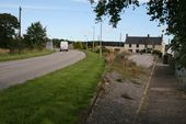
Reprofiled bend at Barbaraville on the B817. This presumably dates back to the time when this was the A9.
B817-saltburn1.jpg
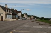
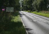
The B817 in Saltburn, looking east.
B817-saltburn2.jpg
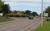
The tricky traffic-light controlled crossroads at the head of Invergordon Pier
B817-inverg1.jpg
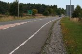
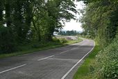
Old and new road to the west of Invergordon. While the road is now the B817, the upgrade probably took place when this was still the A9
B9174-tain1.jpg
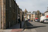
The B9174 running along Tain High Street
A9-b817-alness.jpg
The A9 / B817 junction at Dalmore, Alness
A9-kildary2.jpg
Kildary junction on the A9 with the B817
A9-kildary1.jpg
Looking north along the A9 from the Kildary junction with the B817
Wai26811a.jpg
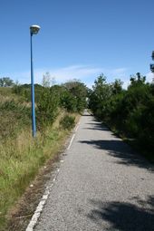
Abandoned section of A862 (former A9) now converted to a cycle track heading east from Conon Bridge to Dingwall.
Wai26811b.jpg
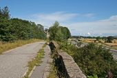
Abandoned section of A862 (former A9) now converted to a cycle track heading east from Conon Bridge to Dingwall.
Rosskeen-br1.jpg
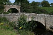
The new bridge over the Rosskeen Burn on the B817 near Invergordon
Rosskeen-br2.jpg
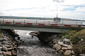
The old, now abandoned bridge over the Rosskeen Burn on the B817 near Invergordon which once carried the A9
A9-alness-1947.jpg
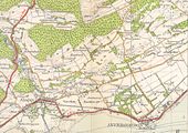
The A9 passing through Invergordon in 1947 This page contains scans from a map that is believed may be out of copyright according to UK Crown Copyright, UK Copyright Law for other maps published in the United Kingdom, or Irish Government Copyright, is not being used to generate profit in this context, and presents information that cannot be exhibited otherwise.
If the copyright holder considers this is an infringement of their rights, please contact the site management team to discuss further steps.
A9-evanton1.jpg
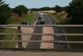
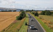
Looking west along the A9 Evanton Bypass from the Kiltearn overbridge
A9-evanton2.jpg
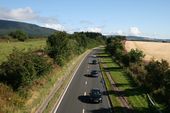
Looking east along the A9 Evanton Bypass from the Kiltearn overbridge
A9 Cromarty Bridge - Coppermine - 17560.jpg
A9 Cromarty Bridge

The bridge across the Cromarty Firth.

Originally uploaded to Coppermine on Apr 03, 2008 by TS
A9 Cromarty Firth bridge - Coppermine - 3685.jpg
A9 Cromarty Firth bridge

One of mine from last year; I think it's particularly suited as a masthead.

Winner - October 2005

Originally uploaded to Coppermine on Oct 04, 2005 by bealach na ba
A9 Evanton emergency telephone.jpg
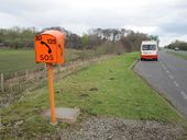
Emergency telephone in a layby on the A9 just South of the Struie Junction.
A9-tore1.jpg
Looking north on the A9 heading away from Tore Roundabout. It's S2 in case you hadn't spotted!
B9176 - Coppermine - 13620.jpg
B9176

Northern end of the B9176 (former A836) where it meets the current A836 (former A9) with snow gates at the junction.

Originally uploaded to Coppermine on Jul 02, 2007 by Glen
B9176 - Coppermine - 13621.jpg
B9176

B9176 where it meets the A836 at the Dornoch Firth

Originally uploaded to Coppermine on Jul 02, 2007 by Glen
Conon-br1.jpg
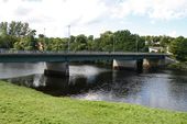
The new A862 bridge in Conon Bridge, built when the A9 still came this way
Conon-br2.jpg
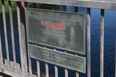
Date plaque on the new A862 bridge in Conon Bridge, built when the A9 still came this way
Conon-br3.jpg
The site of the old Conon Bridge, demolished c1969 with the construction of the new bridge.
Cromarty-br1.jpg
The Cromarty Bridge on the A9 from the south
Cromarty-br2.jpg
The Cromarty Bridge on the A9 from the South
B817-balintraid1.jpg
Looking south along the B817 towards Balintraid Pier
B817-b9176.jpg
Looking north along the B9176 at the B817 junction between Evanton and Alness.
A862-maryburgh2.jpg
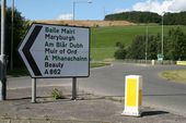
Flag sign on the A862/A835 roundabout at Maryburgh
A862-conon1.jpg
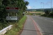
Heading out of Conon Bridge on the A862
A862-maryburgh.jpg
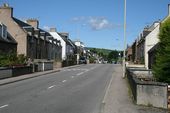
The A862, former A9, passing through Maryburgh
A9 Cromarty Bridge - aerial from South.jpg
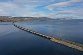
Aerial view of the Cromarty Firth Bridge from the South
A9 Cromarty Bridge - low level aerial from South.jpg
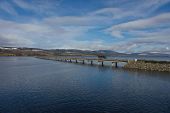
Cromarty Firth Bridge viewed from the South
Dornoch Firth Bridge - aerial from South shore.jpg
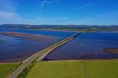
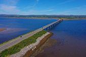
Dornoch Firth Bridge on the A9, viewed from the south
Dornoch Firth Bridge - aerial from South embankment.jpg
Dornoch Firth Bridge on the A9 viewed from the south
A9 Route Confirmation Sign Tore.jpg
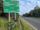
I believe this is currently the most southernly route confirmation sign on the A9 with John o Groats listed as a destination. Very much a milestone for end to enders!
A9 Tarlogie - High winds variable message sign.jpg
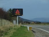
Variable message sign on the A9 between Tain and Meikle Ferry Roundabout displaying a warning of high winds on the Dornoch Firth Bridge
A9 Tarlogie - farm underpass.jpg
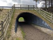
Corrugated tube farm underpass below the A9 next to Meikle Ferry Roundabout
A9 Meilkle Ferry Roundabout - aerial from SE.jpg
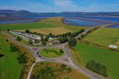
Aerial view of Meikle Ferry Roundabout, the junction of the A9 and the southern end of the A836
A9 Meilkle Ferry Roundabout - NC500 ADS.jpg
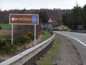
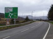
North Coast 500 advance direction sign on the A9 approaching Meikle Ferry Roundabout
A9 Meilkle Ferry Roundabout - southbound ADS.jpg
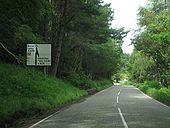
Advance direction sign on the A9 approaching Meikle Ferry Roundabout
A9 Dornoch Firth Bridge - aircraft and side winds.jpg
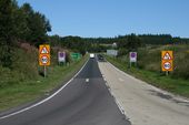
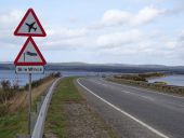
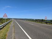
Warning signs for aircraft and side winds on the A9 approaching the Dornoch Firth Bridge
A9 Dornoch Firth Bridge - northbound RCS.jpg
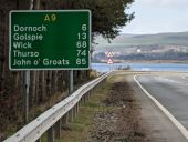
Route confirmation sign on the A9 leaving the Meikle Ferry Roundabout
A9 Meilkle Ferry Roundabout - northbound ADS.jpg
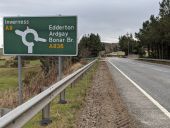
Advance direction sign on the A9 approaching Meikle Ferry Roundabout
A9 Dornoch Firth Bridge - opening plaque.jpg
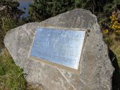
Opening plaque at the Dornoch Firth Bridge on the A9
A9 Dornoch Firth Bridge - side winds.jpg
Warning signs of side winds on the Dornoch Firth Bridge
A9 Meilkle Ferry Roundabout - southbound direction signs.jpg
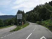
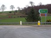
Direction signs on the A9 at Meikle Ferry Roundabout
 
 
Page 1, 48 file(s) of 53 shown
Page 1 2

SABRE - The Society for All British and Irish Road Enthusiasts
Discuss - Digest - Discover - Help