Gallery:A970

From Roader's Digest: The SABRE Wiki
Jump to navigation Jump to search
A900-A999 > A970


This gallery has no child categories
A970
 
 
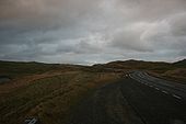
A970 Isbister - Coppermine - 23678.jpg
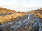
A970 Isbister looking northwards

A970 Isbister looking northwards. This is the northern most end of the road. A track continues over the hills through a croft in the distance.

Originally uploaded to Coppermine on Dec 09, 2009 by loch_cuan73
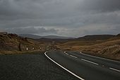
A970 Isbister - Coppermine - 23677.jpg
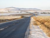
A970 Isbister looking southwards

A970 Isbister looking southwards close to most northerly end of road

Originally uploaded to Coppermine on Dec 09, 2009 by loch_cuan73
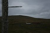
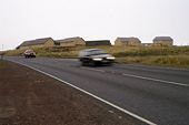
A970 Lands End Sign Isbister - Coppermine - 23676.jpg
A970 Lands End Sign Isbister

A970 northern most end at Isbister, Lands End Sign at side of road - yes that is an aeroplane fuselage at the house in the background!

Originally uploaded to Coppermine on Dec 09, 2009 by loch_cuan73
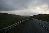
A970 north of Lerwick - Coppermine - 23675.jpg
A970 north of Lerwick

A970 north of Lerwick near Veensgarth looking southwards (in layby)

Originally uploaded to Coppermine on Dec 09, 2009 by loch_cuan73
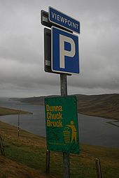
A970 north of Lerwick - Coppermine - 23674.jpg
A970 north of Lerwick

A970 north of Lerwick near Veensgarth 'Dunna Chuck Bruck' sign in layby

Originally uploaded to Coppermine on Dec 09, 2009 by loch_cuan73
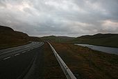
A970 Islesburgh - Coppermine - 23673.jpg
A970 north of Islesburgh

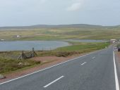
A970 north of Islesburgh on North Mainland looking Southwards

Originally uploaded to Coppermine on Dec 09, 2009 by loch_cuan73
A970 Islesburgh - Coppermine - 23672.jpg
A970 north of Islesburgh

A970 north of Islesburgh on North Mainland looking Northwards

Originally uploaded to Coppermine on Dec 09, 2009 by loch_cuan73
A970 Islesburgh - Coppermine - 23671.jpg
A970 north of Islesburgh

A970 north of Islesburgh on North Mainland looking Northwards

Originally uploaded to Coppermine on Dec 09, 2009 by loch_cuan73
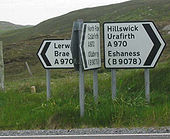
A970 - Coppermine - 941.jpg
A970

Roadsign where all three directions are the A970. This seems quite common on Shetland

Originally uploaded to Coppermine on Apr 17, 2005 by M4Simon
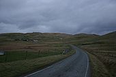
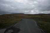
Lerwick Observatory.jpg
Lerwick Observatory
The old and the new - Geograph - 1061002.jpg
The old and the new
North along the A970 (C) Stuart Wilding - Geograph - 1062997.jpg
North along the A970 (C) Stuart Wilding
Urafirth- approaching on the A970 - Geograph - 2742217.jpg
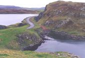
Urafirth- approaching on the A970 The A970 makes its way towards Hillswick, passing here through the village of Urafirth at the head of Ura Firth. In the centre of the picture, we see Long Ayre, a sand bar which separates The Wadill, the lake to the right, from the Firth.
Mavis Grind - Geograph - 8678.jpg
Mavis Grind This is the narrowest land in the British Isles. The inlet on the right is an arm of the Atlantic Ocean; and on the left is Sullom Voe, which is an inlet of the North Sea.
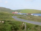
A970, North Collafirth - Geograph - 3830549.jpg
A970, North Collafirth The red trawler is the Altaire.
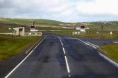
Sumburgh Airport Runway Crossing Control - Geograph - 5932906.jpg
Sumburgh Airport Runway Crossing Control The A970 between Sumburgh and the north crosses the western end of runway 09 at Sumburgh Airport. Access is controlled by a level crossing with highly visible “wig wag” lights and a barrier which is closed manually whenever a flight is taking off or landing.
 

SABRE - The Society for All British and Irish Road Enthusiasts
Discuss - Digest - Discover - Help