Gallery:Abandoned Road

From Roader's Digest: The SABRE Wiki
Jump to navigation Jump to search
Road Features > Abandoned Road


This gallery has no child categories
Abandoned Road
 
 
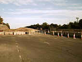
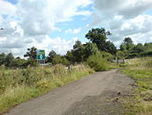
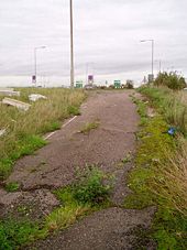
No through road - Coppermine - 13753.jpg
No through road

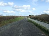
Looking south to where the slip road comes off the A35. Light is for entrance to Upton cemetery on left.

Originally uploaded to Coppermine on Jul 06, 2007 by SteveA30
Slip up - Coppermine - 13752.jpg
Slip up

The slip off the A35, from the old A350.

Originally uploaded to Coppermine on Jul 06, 2007 by SteveA30
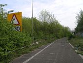
Limit on former A6091 - Coppermine - 10304.jpg
Limit on former A6091

Short length of NSL followed by 30 limit

Originally uploaded to Coppermine on Feb 17, 2007 by Hagbard
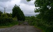
Shortest length of NSL? - Coppermine - 10303.jpg
Shortest length of NSL?

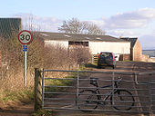
The former A6091 near Newtown St Boswells. Road becomes NSL for 4 metres before ending at a gate.

Originally uploaded to Coppermine on Feb 17, 2007 by Hagbard
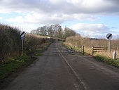
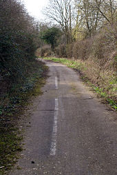
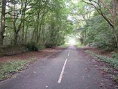
The white line fades - Geograph - 1205933.jpg
The white line fades
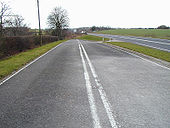
A422 Stagsden - Coppermine - 16610.jpg
A422 Stagsden

Much of the A422 between Newport Pagnell and Bedford has been realigned which results in abandoned stretches like this

Originally uploaded to Coppermine on Jan 24, 2008 by Truvelo
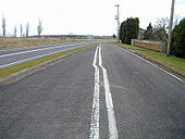
A422 Stagsden - Coppermine - 16609.jpg
A422 Stagsden

Looking the other way from the same vantage point towards the A428 roundabout

Originally uploaded to Coppermine on Jan 24, 2008 by Truvelo
Former A2 - Geograph - 931460.jpg
Former A2
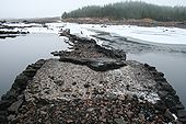
Old-a87-1.jpg
The old A87 at Loch Loyne: Looking back to the 'mainland' from the southern bridge.
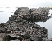
Old-a87-2.jpg
The old A87 at Loch Loyne: The southern bridge from the Island.
Old-a87-4.jpg
The old A87 at Loch Loyne: The northern bridge from the Island
Old-a87-5.jpg
The old A87 at Loch Loyne: The northern bridge from the Island
Old-a87-6.jpg
The old A87 at Loch Loyne: The northern bridge from the 'mainland'.
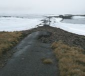
Old-a87-8.jpg
The old A87 at Loch Loyne: The northern bridge and causeway from the 'mainland'.
Old-a87-n.jpg
The old A87 at Loch Loyne: Climbing up the hill at the start of the road to Cluanie after crossing the loch.
Old-a87-pass.jpg
The old A87 Tomdoun - Loch Loyne: One of only 3 passing places noted.
Old-a87-summit.jpg
The old A87 Tomdoun - Loch Loyne: Looking north from the summit of the route.
Old-a87rd1.jpg
The old A87 Tomdoun - Loch Loyne: The road's 50 year old surface is still looking good, near Tomdoun.
Old-a87rd4.jpg
The old A87 Tomdoun - Loch Loyne: One upon a time all Scottish roads looked like this!
Old-a87-wall.jpg
The old A87 Tomdoun - Loch Loyne: A 200 year old retaining wall still doing its job.
Old-a87rd3.jpg
The old A87 Tomdoun - Loch Loyne: This bit of road is on an embankment across a small stream valley.
Old-a87rd2.jpg
The old A87 at Loch Loyne: Looking across the loch to the Cluanie side.
A82 Glen Falloch - Coppermine - 16989.jpg
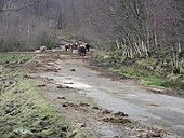
Abandoned stretch of A82, Glen Falloch

Between Inverarnan & Crianlarich (north from top of Loch Lomond) there are a few sections of by-passed A82 remaining, abandoned by the upgrade which occurred 20-25 years ago. This is the longest of the remaining stretches at this location. This view is pointing roughly south-west. Behind our bovine friends there is an old bridge before the road curves back round to the east to meet the new alignment.

Originally uploaded to Coppermine on Feb 18, 2008 by leopard680
A82 Glen Falloch - Coppermine - 16988.jpg
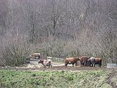
Abandoned stretch of A82, Glen Falloch, incl. bridge

A closer view of the old bridge, now for the cattle's exclusive use.

Originally uploaded to Coppermine on Feb 18, 2008 by leopard680
A82 Glen Falloch - Coppermine - 16987.jpg
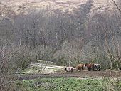
Abandoned stretch of A82, Glen Falloch

The cows have seen it all now, people taking pictures of them and old roads!

Originally uploaded to Coppermine on Feb 18, 2008 by leopard680
Overgrown A30, Sept 2008 - Coppermine - 20712.jpg
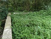
Overgrown A30, Sept 2008

Old approach to a river bridge near Shaftesbury, Dorset.

Originally uploaded to Coppermine on Nov 15, 2008 by SteveA30
Old A30 - Coppermine - 20711.jpg
Old A30

Looking east, back along the old road, to a picnic area built on the site.

Originally uploaded to Coppermine on Nov 15, 2008 by SteveA30
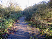
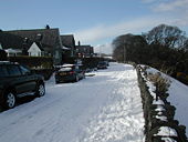
Trotshill Lane - Geograph - 1032132.jpg
Trotshill Lane
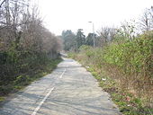
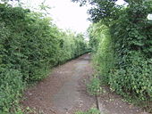
The end of the lane - Geograph - 1324968.jpg
The end of the lane
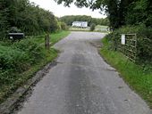
The Old Spetchley Road - Geograph - 557601.jpg
The Old Spetchley Road
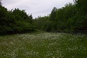
Abandoned Motorway Junction - Geograph - 18901.jpg
Abandoned Motorway Junction
Abandoned section of the A10 - Geograph - 74703.jpg
Abandoned section of the A10
Washpit Road, Girton, Cambs - Geograph - 90048.jpg
Washpit Road, Girton, Cambs
Light at the end of the Tunnel - Geograph - 47737.jpg
Light at the end of the Tunnel
A cut-off section of the A5 - Geograph - 387484.jpg
A cut-off section of the A5
Old A5 at Tyddyn Iolyn, Half way Bridge - Geograph - 720753.jpg
old A5 at Tyddyn Iolyn, Half way Bridge
Track of the former A5 - Geograph - 188925.jpg
Track of the former A5
The old route of the A5 - Geograph - 189276.jpg
The old route of the A5
Old A34 Burghclere.jpg
The old A34 at the Burghclere turn-off, looking north.
Requiescat in pace, Winchester Bypass - Coppermine - 12224.jpg
Requiescat in pace, Winchester Bypass -
Blackfirs Lane in 1996 - Coppermine - 20762.jpg
Blackfirs Lane in 1996 - Blackfirs Lane, Solihull taken in 1996 showing the road narrowed to S1 after it was closed to traffic. I'm not sure when this took place but the grass on the right looks well established. Today I suspect it's even more overgrown. EDIT- this is now on Google Street View and the vegetation is completely overgrown.
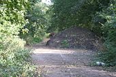
End of A303-Start of A30(T) - Coppermine - 14010.jpg
End of A303-Start of A30(T)

Looking east. Local traffic for Micheldever or, round to A30 west, turned right here but, gave way to A30(T) Trunk road flows had priority in both directions. Sign for Micheldever visible. This area is hidden behind a rubble mound but, is well worth investigation, in view of its former status on the holiday road to the West.

Originally uploaded to Coppermine on Jul 18, 2007 by SteveA30
Old A30 - Coppermine - 19843.jpg
Old A30

1926 bridge and its predecessor.

Originally uploaded to Coppermine on Aug 30, 2008 by SteveA30
Old A30 - Coppermine - 17218.jpg
Old A30

Most of the old A30 in Devon is a nice drive but, a few bits are out of bounds, like this section between Cheriton Bishop and Whiddon Down. The D2 is just beyond the line of bushes and, the rerouted 'old' road is to the right and goes over the new. This bit is invisible from both without stopping to investigate.

Originally uploaded to Coppermine on Mar 12, 2008 by SteveA30
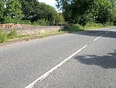
Forgotten A30 - Coppermine - 17217.jpg
Forgotten A30

Bypassed in 77/78, by construction works, it went along the line of the new just ahead and was absorbed, before emerging on the other side, just before the Merrymeet GSJ.

Originally uploaded to Coppermine on Mar 12, 2008 by SteveA30
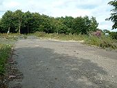
Old A30 Goss Moor - Coppermine - 16778.jpg
Old A30 Goss Moor

A small car park has been created, with the old A30 markings still visible.

Originally uploaded to Coppermine on Feb 07, 2008 by DavidBrown
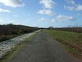
Old A30 Goss Moor - Coppermine - 16777.jpg
Old A30 Goss Moor

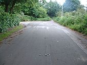
Looking up the new bridleway and footpath. The soft path to the left is for horses, with pedestrians and cyclists on the tarmac.

Originally uploaded to Coppermine on Feb 07, 2008 by DavidBrown
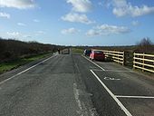
Old A30 Goss Moor - Coppermine - 16775.jpg
Old A30 Goss Moor

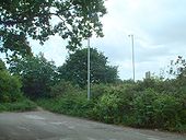
Anyone remember sitting here in their car on hot summer days in long traffic jams?

Originally uploaded to Coppermine on Feb 07, 2008 by DavidBrown
 
 
Page 1, 48 file(s) of 596 shown
Page 1 2 3 4 5 6 7 8 9 10 11 12 13

SABRE - The Society for All British and Irish Road Enthusiasts
Discuss - Digest - Discover - Help