Gallery:Aylesbury
From Roader's Digest: The SABRE Wiki
Jump to navigation
Jump to search
Places in South East England > Aylesbury
This gallery has no child categories
Aylesbury
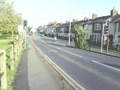
Park Street
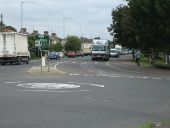
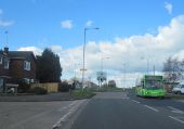
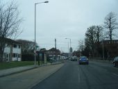
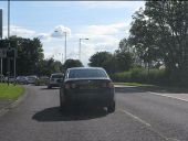
Park Street (A418) heading up to the roundabout of Cambridge Street and Bierton Road
Park Street (A418) heading up to the roundabout of Cambridge Street and Bierton Road
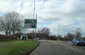
Road junction of A413 and Aylesbury Ring... (C) John Firth
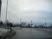
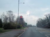
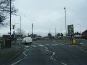
Shown on OS map as a roundabout now a traffic light controlled junction
Shown on OS map as a roundabout now a traffic light controlled junction
'Pebble Way' - Cycle Route towards... (C) Chris Millard
This is the 'Pebble Way' cycle route sign that is directly behind the Bugle Horn public house. This cycle sign directs towards Aylesbury town centre.
This is the 'Pebble Way' cycle route sign that is directly behind the Bugle Horn public house. This cycle sign directs towards Aylesbury town centre.
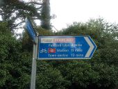
'The Pearl Way' - Cycle Aylesbury... (C) Chris Millard
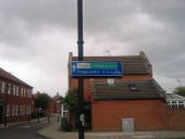
This is one of the many 'Cycle Aylesbury' signs. Each has a name & colour coded to aid cyclists around Aylesbury Vale. This one feature the 'Pearl Way' cycle route and directs to Fairford Leys; the train station and the town centre.
This is one of the many 'Cycle Aylesbury' signs. Each has a name & colour coded to aid cyclists around Aylesbury Vale. This one feature the 'Pearl Way' cycle route and directs to Fairford Leys; the train station and the town centre.
Junction of Stoke Road and Mandeville... (C) Roger Templeman
Taken from the slope down from the railway bridge.
Taken from the slope down from the railway bridge.
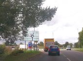
Queuing to leave Aylesbury (C) Peter Whatley
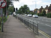
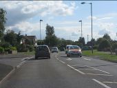
Rush hour traffic approaching the Ellen Road roundabout.
Rush hour traffic approaching the Ellen Road roundabout.
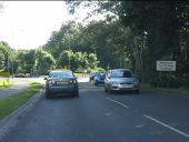
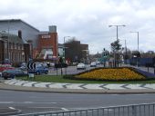
Roundabout where Carrington Road crosses... (C) Roger Templeman
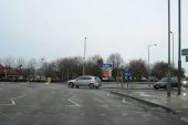
This roundabout has a beech tree, the next one to the SE a church.
This roundabout has a beech tree, the next one to the SE a church.
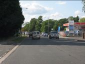
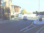
View along Walton Street towards... (C) Roger Templeman
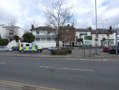
The building on the left until recently housed Addaction, a charity involved with drug and alcohol treatment. The roundabout is at the meeting of Walton Street (A413) with the A418 and A41.
The building on the left until recently housed Addaction, a charity involved with drug and alcohol treatment. The roundabout is at the meeting of Walton Street (A413) with the A418 and A41.
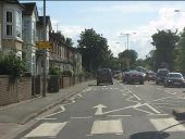
Exchange Street, Aylesbury (C) MICHAEL ZAWADZKI
How many lights do you need at a pedestrian crossing?
How many lights do you need at a pedestrian crossing?
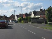
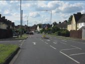
Aylesbury- Prebendal Avenue, California (C) Nigel Cox
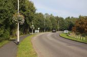
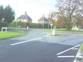
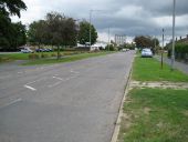
The boulders separating the road from the grass are a common sight in Aylesbury and have been introduced to deter the travelling community from setting up camp on the greens. As ever the County Tower looms large...
The boulders separating the road from the grass are a common sight in Aylesbury and have been introduced to deter the travelling community from setting up camp on the greens. As ever the County Tower looms large...
'Emerald Way' - Cycle Aylesbury bicycle... (C) Chris Millard
This is the 'Emerald Way' cycle route that directs toward the Village Centre of Fairford Leys.
This is the 'Emerald Way' cycle route that directs toward the Village Centre of Fairford Leys.
40mph limit in Aylesbury before being reduced to 30
The notice attached to the post of the right hand sign states an intention by the council to reduce all urban 40mph limits in Aylesbury to 30. The following year the speed limit reductions were carried out. This is on the A41 London Road in 2006 before the posts were simply cut off leaving just the bases sticking out the ground.
Originally uploaded to Coppermine on Jul 14, 2007 by Truvelo