Gallery:B1053
From Roader's Digest: The SABRE Wiki
Jump to navigation
Jump to search
B1000-B1099 > B1053
This gallery has no child categories
B1053
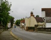
View south-west from Bradford Bridge, Bocking The cream-painted building (right of centre) is the subject of 4619974 In that picture, the street-front looks Georgian (and quite urban) but it's clear from the end elevation that the corniced fa??ade was added to an earlier gambrel-roofed building. There also appears to be a timber-framed range (with jettied first-floor) - running back at right-angles to the road.
I'm in a bit of a quandary as to the street name. The OS calls this stretch Convent Hill, but it also seems to be known locally as Bradford Street.
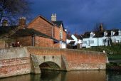
The bridge crosses the River Blackwater, or Pant, as it is known in its upper reaches - information gleaned from Brenda Howard's contributions: http://www.geograph.org.uk/photo/60598 http://www.geograph.org.uk/photo/60611Hidden categories:


