Gallery:B1341

From Roader's Digest: The SABRE Wiki
Jump to navigation Jump to search
B1300-B1399 > B1341


This gallery has no child categories
B1341
 
 
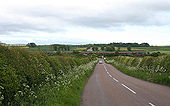
B1341 near Lucker - Geograph - 461769.jpg
B1341 near Lucker
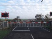
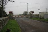
Level crossing near Lucker - Geograph - 461767.jpg
Level crossing near Lucker Taken from the Inn Way to Northumberland as a car waited for a train on the East Coast Mainline.
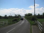
Road over Level Crossing - Geograph - 4289636.jpg
Road over Level Crossing
Lucker level crossing - Geograph - 4244240.jpg
Lucker level crossing
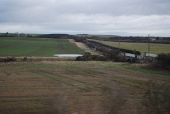
Lucker level crossing on the ECML - Geograph - 3218389.jpg
Lucker level crossing on the ECML
B1341 crosses Waren Burn - Geograph - 2311934.jpg
B1341 crosses Waren Burn
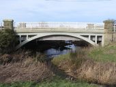
Road bridge over the Waren Burn - Geograph - 4353184.jpg
Road bridge over the Waren Burn An road bridge with ornate painted iron parapets crosses the Waren Burn at Lucker Station.
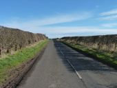
Bare hedge casts a shadow - Geograph - 5322317.jpg
Bare hedge casts a shadow On a minor road north-east of Lucker.
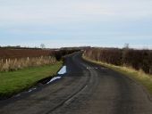
B1341 - Geograph - 2556061.jpg
B1341 Road used by the National Cycle Network ( route 1).
The B1341 at Lidderton Hill - Geograph - 4344546.jpg
The B1341 at Lidderton Hill Looking along the B1341 at Lidderton Hill. The road is the main route between Bamburgh and Lucker.
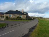
Glocorum farm buildings - Geograph - 5322335.jpg
Glocorum farm buildings Now appear to have been converted into residential accommodation.
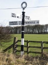
Fingerpost sign at Glororum - Geograph - 4340627.jpg
Fingerpost sign at Glororum An old, but well maintained finger post sign at Glororum.
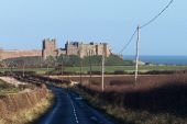
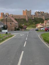
Driving down the B1341 towards Bamburgh - Geograph - 2949551.jpg
Driving down the B1341 towards Bamburgh With the castle in the background
B1341 - Geograph - 2556071.jpg
B1341 Road out of Bamburgh. Used by the National Cycle Network.
Triple point, Bamburgh.jpg
Triple Point of the B1340; B1341 and B1342. All start/end at the point they meet here. Bamburgh Castle forms an impressive backdrop.
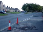
B1340, B1341, B1342 all meet.jpg
The B1340, part of the Northumberland Coastal Route, turns into the B1342 at the exact point of both meeting the B1341.
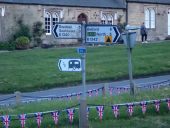
Flag sign at triple point.jpg
The hidden third arm says (A1) South 5. B1341 and that's the only bit of road actually seen here.
 

SABRE - The Society for All British and Irish Road Enthusiasts
Discuss - Digest - Discover - Help