Gallery:B1342

From Roader's Digest: The SABRE Wiki
Jump to navigation Jump to search
B1300-B1399 > B1342


This gallery has no child categories
B1342
 
 
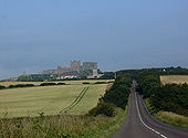
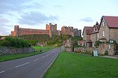
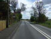
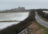
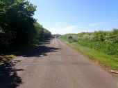
B1342 to Bamburgh - Geograph - 973334.jpg
B1342 to Bamburgh
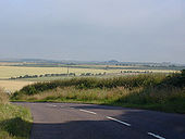
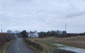
B1342 to Bamburgh near Galliheugh Bank - Geograph - 973327.jpg
B1342 to Bamburgh near Galliheugh Bank
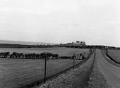
The Road to Bamburgh - Geograph - 774274.jpg
The Road to Bamburgh
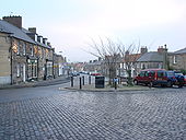
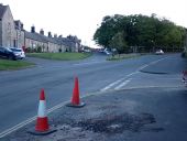
High Street, the B1342, Belford - Geograph - 637711.jpg
High Street, the B1342, Belford
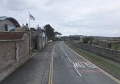
Houses at Bamburgh - Geograph - 946267.jpg
Houses at Bamburgh
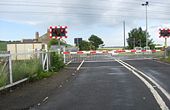
Level crossing at Belford Junction Northumberland - Geograph - 1402171.jpg
Level crossing at Belford Junction Northumberland
Level crossing at Belford Station - Geograph - 2157371.jpg
Level crossing at Belford Station
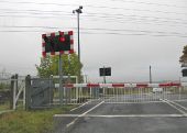
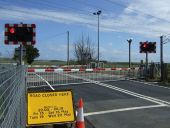
Level crossing gates closed, Belford Junction - Geograph - 3204453.jpg
Level crossing gates closed, Belford Junction On the East Coast Main Line route.
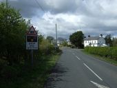
Warning of overhead cables on the level crossing at Belford Junction - Geograph - 4463249.jpg
Warning of overhead cables on the level crossing at Belford Junction Heading west on the B1342.
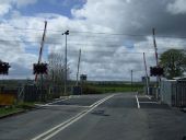
Approaching the level crossing at Belford Junction - Geograph - 4463247.jpg
Approaching the level crossing at Belford Junction Station Road (B1342) looking west.
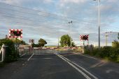
Level crossing at Belford Junction - Geograph - 4463245.jpg
Level crossing at Belford Junction On Station Road (B1342).
Level crossing on the B1342 at Belford Junction - Geograph - 4462925.jpg
Level crossing on the B1342 at Belford Junction Train approaching on the East Coast Main Line.
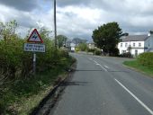
Approaching the level crossing at Belford Junction - Geograph - 4462916.jpg
Approaching the level crossing at Belford Junction On the B1342.
Flooded grazing land near Belford Station - Geograph - 3380111.jpg
Flooded grazing land near Belford Station Approaching the level crossing at Belford Station. Wet fields are all-too-common a sight just now.
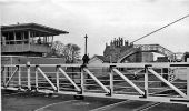
Belford Station - Geograph - 1864386.jpg
Belford Station View northward, towards Berwick; ex-NER East Coast Main line, Newcastle - Berwick-on-Tweed - Edinburgh. This station was closed 29/1/68, but it is to be reopened to serve Holy Island tourists. (See also Beal 1864376. (The signalbox, new at the time, contrasts with the characteristic architecture of the station).
Leaving Bamburgh - Geograph - 3380105.jpg
Leaving Bamburgh Travelling west along the B1342, with the Grace Darling Museum on the left and the churchyard on the right.
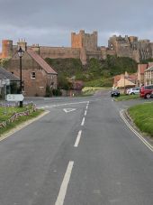
Approach to Bamburgh - Geograph - 1639775.jpg
Approach to Bamburgh
Triple point, Bamburgh.jpg
Triple Point of the B1340; B1341 and B1342. All start/end at the point they meet here. Bamburgh Castle forms an impressive backdrop.
B1340, B1341, B1342 all meet.jpg
The B1340, part of the Northumberland Coastal Route, turns into the B1342 at the exact point of both meeting the B1341.
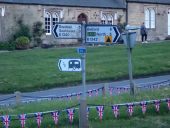
Flag sign at triple point.jpg
The hidden third arm says (A1) South 5. B1341 and that's the only bit of road actually seen here.
B1342 leaves Bamburgh.jpg
The B1342 leaves Bamburgh headed for the A1.
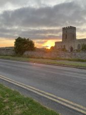
B1342 St Aiden's Church.jpg
The B1342 passes St. Aiden's Chruch, Bamburgh and the grave of Grace Darling. Surprisingly to the photographer the East Coast can provide a sunset over the sea, as near the longest day, it doesn't set due West and the coast curves to the North here.
 

SABRE - The Society for All British and Irish Road Enthusiasts
Discuss - Digest - Discover - Help