Gallery:B3139
From Roader's Digest: The SABRE Wiki
Jump to navigation
Jump to search
B3100-B3199 > B3139
This gallery has no child categories
B3139
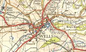
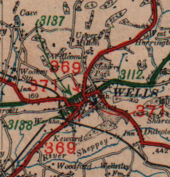
Wells in 1946
This page contains scans from a map that is believed may be out of copyright according to UK Crown Copyright, UK Copyright Law for other maps published in the United Kingdom, or Irish Government Copyright, is not being used to generate profit in this context, and presents information that cannot be exhibited otherwise.
If the copyright holder considers this is an infringement of their rights, please contact the site management team to discuss further steps.
If the copyright holder considers this is an infringement of their rights, please contact the site management team to discuss further steps.
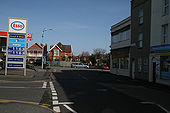
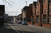
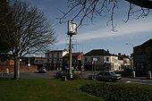
Market Street in Highbridge, part of the narrow B3139 through the town. Looking towards the Cornhill roundabout with the A38
Wells in 1923
This page contains scans from a map that is believed may be out of copyright according to UK Crown Copyright, UK Copyright Law for other maps published in the United Kingdom, or Irish Government Copyright, is not being used to generate profit in this context, and presents information that cannot be exhibited otherwise.
If the copyright holder considers this is an infringement of their rights, please contact the site management team to discuss further steps.
If the copyright holder considers this is an infringement of their rights, please contact the site management team to discuss further steps.
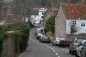
B3139 at Snail's Bottom
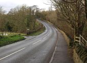
Taken a little further down the road from ST6852 : B3139 near Charlton, with the start of the footpath mentioned (FR 7/11). The road then crosses the valley floor well above the stream.
Taken a little further down the road from ST6852 : B3139 near Charlton, with the start of the footpath mentioned (FR 7/11). The road then crosses the valley floor well above the stream.
Hidden categories:
