Gallery:B3233
From Roader's Digest: The SABRE Wiki
Jump to navigation
Jump to search
B3200-B3299 > B3233
This gallery has no child categories
B3233
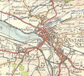
Barnstaple in 1953, before any of the bypasses were built!
This page contains scans from a map that is believed may be out of copyright according to UK Crown Copyright, UK Copyright Law for other maps published in the United Kingdom, or Irish Government Copyright, is not being used to generate profit in this context, and presents information that cannot be exhibited otherwise.
If the copyright holder considers this is an infringement of their rights, please contact the site management team to discuss further steps.
If the copyright holder considers this is an infringement of their rights, please contact the site management team to discuss further steps.
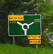
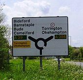
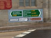
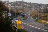
New signage installed when the A386 was diverted along Bideford Quay and the B3233 was extended from the Westleigh roundabout to the Bideford Old Bridge
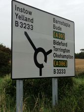
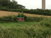
One of the signs that wasn't removed when the route was downgraded from the A386 to the B3233 - as on July 2012
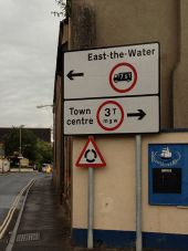
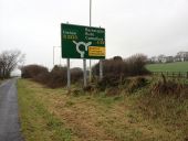
Patches galore! The Instow B3233 patch I think used to have Barnstaple underneath. The yellow patch is to direct overweight vehicles away from the Bideford old bridge and I am not sure what was under the A39 patch. This was replaced in early 2012.
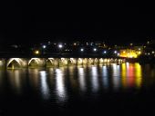
The Long Bridge Bideford at night (C) Rod Allday
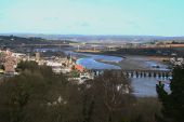
At 678 feet, Bideford bridge across the River Torridge is reckoned to be the longest in Devon. It is probably C15th, encasing timbers of a wooden bridge originally built in the late C13th. It was widened to include footpaths in 1795-1810 and further widened to provide a double carriageway by Thomas Page of London in 1867. It consists of 24 pointed arches of differing widths, believed to result from its timber origins. On either side of each one is a segmental arch added to carry the footpaths of 1795-1810. Grade I listed <a title='http://www.imagesofengland.org.uk/Details/Default.aspx?id=375732&mode=adv' rel='nofollow' href='http://www.imagesofengland.org.uk/Details/Default.aspx?id=375732&mode=adv'>Link</a><img style='padding-left:2px;' alt='External link' title='External link - shift click to open in new window' src='http://s1.geograph.org.uk/img/external.png' width='10' height='10'/>
At 678 feet, Bideford bridge across the River Torridge is reckoned to be the longest in Devon. It is probably C15th, encasing timbers of a wooden bridge originally built in the late C13th. It was widened to include footpaths in 1795-1810 and further widened to provide a double carriageway by Thomas Page of London in 1867. It consists of 24 pointed arches of differing widths, believed to result from its timber origins. On either side of each one is a segmental arch added to carry the footpaths of 1795-1810. Grade I listed <a title='http://www.imagesofengland.org.uk/Details/Default.aspx?id=375732&mode=adv' rel='nofollow' href='http://www.imagesofengland.org.uk/Details/Default.aspx?id=375732&mode=adv'>Link</a><img style='padding-left:2px;' alt='External link' title='External link - shift click to open in new window' src='http://s1.geograph.org.uk/img/external.png' width='10' height='10'/>
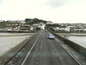
Long Bridge on the river Torridge (C) Roger A Smith
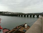
Long Bridge on the river Torridge as... (C) Roger A Smith
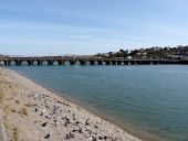
Long Bridge on the river Torridge as... (C) Roger A Smith
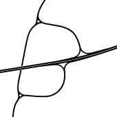
The original plan for Westleigh Junction from 1977 with a dualled Bideford Bypass and two slip roads.
Hidden categories:
