Gallery:B4228
From Roader's Digest: The SABRE Wiki
Jump to navigation
Jump to search
B4200-B4299 > B4228
This gallery has no child categories
B4228
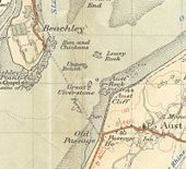
The Aust Ferry in 1953.
This page contains scans from a map that is believed may be out of copyright according to UK Crown Copyright, UK Copyright Law for other maps published in the United Kingdom, or Irish Government Copyright, is not being used to generate profit in this context, and presents information that cannot be exhibited otherwise.
If the copyright holder considers this is an infringement of their rights, please contact the site management team to discuss further steps.
If the copyright holder considers this is an infringement of their rights, please contact the site management team to discuss further steps.
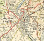
Chepstow in 1953 before the new A48 bridge was built.
This page contains scans from a map that is believed may be out of copyright according to UK Crown Copyright, UK Copyright Law for other maps published in the United Kingdom, or Irish Government Copyright, is not being used to generate profit in this context, and presents information that cannot be exhibited otherwise.
If the copyright holder considers this is an infringement of their rights, please contact the site management team to discuss further steps.
If the copyright holder considers this is an infringement of their rights, please contact the site management team to discuss further steps.
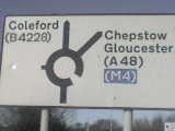
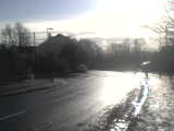
old B4228 - Sign when exiting roundabout to go to A48. Another sign, although you're unable to see because of the bright sunlight, that doesn't mention M48.
old B4228 - The roundabout sign on the other side of the junction. Again, lack of M48 signing and that 'B4228' has been patched with '(B4228)'. This road also has a 20mph speed limit through the centre of Sedbury, which is for the shops, primary school and secondary & 6th form centre (JK Rowling's old school and currently mine as I'm in Year 12)
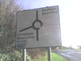
old B4228 - Heading towards the roundabout at Sedbury. Note the patching below where it says Beachley, as this was once the B4228. The other thing interesting about this sign is the fact that the only motorway mentioned is the M4, but not the M48.
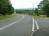
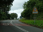
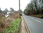
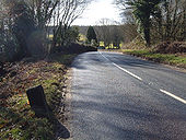
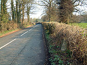
old B4228 - Walking along the old B4228, just before the A48 bridge where we cross from Tutshill into Sedbury.
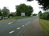
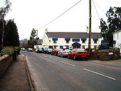
old B4228 - Old B4228 in Tutshill, just coming up to a fairly new mini-roundabout. The road appears to be in good nick.
old A48 at Chepstow
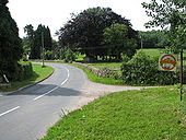
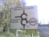
The double mini-roundabout sign at Tutshill (the home of world famous Harry Potter author, JK Rowling), with a weight limit on the old B4228
Originally uploaded to Coppermine on Nov 27, 2009 by Beardy5632Hidden categories:
