Gallery:B485

From Roader's Digest: The SABRE Wiki
Jump to navigation Jump to search
B400-B499 > B485


This gallery has no child categories
B485
 
 
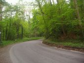
Chesham Road (B485) - Geograph - 1054265.jpg
Chesham Road (B485)
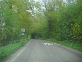
Chesham Road B485 - Geograph - 1054154.jpg
Chesham Road B485
Chesham Road B485 heading towards Chesham
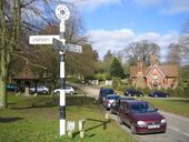
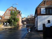
Chenies - Geograph - 139218.jpg
Chenies
Viewed looking westwards across the village green. The village pump is visible to the left of the old style road sign, and the house in the distance has a plaque indicating that it was built in 1857.
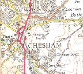
Chesham74.jpg
Early 1970s OS map of Chesham.

This page includes a scan of a non-free copyrighted map, and the copyright for it is most likely held by the company or person that produced the map. It is believed that the use of a limited number of web-resolution scans qualifies as fair use under United States copyright law, where this web page is hosted, as such display does not significantly impede the right of the copyright holder to sell the copyrighted material, is not being used to generate profit in this context, and presents information that cannot be exhibited otherwise.
If the copyright holder considers this is an infringement of their rights, please contact the Site Management Team to discuss further steps.

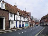
Church Street, Chesham - Geograph - 111011.jpg
Church Street, Chesham
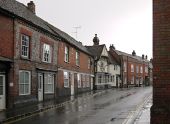
Church Street, Chesham, in the rain - Geograph - 3382536.jpg
Church Street, Chesham, in the rain
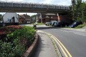
Underground bridge over Waterside (C) Philip Jeffrey - Geograph - 3611880.jpg
Underground bridge over Waterside (C) Philip Jeffrey
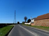
Cudsden Farm near Great Missenden (C) Bikeboy - Geograph - 3894391.jpg
Cudsden Farm near Great Missenden (C) Bikeboy
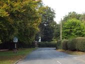
Chenies, Buckinghamshire - Geograph - 4675387.jpg
Chenies, Buckinghamshire The traditional village sign is to the left of the image.
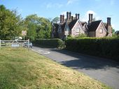
Chenies- Latimer Road and Bedford Estate cottages - Geograph - 2421159.jpg
Chenies- Latimer Road and Bedford Estate cottages This group of 4 cottages form a Grade II Listed Building, and the English Heritage Listed Buildings website describes the group thus:-

"Group of estate cottages. Built in 1867 by the Bedford Estate. Red brick in Flemish bond with some black headers. Tiled roof with 6 pairs of brick chimneystacks set diagonally. L-shaped plan. The central gable has a plaque with the date 1867 and the letter B."

So this group are about 9 years newer than the nearby TQ0297 : Chenies: Latimer Road and a Bedford Estate cottage..
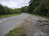
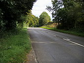
Latimer Road, Chenies - Geograph - 2370026.jpg
Latimer Road, Chenies
Latimer Road, Chenies - Geograph - 2370060.jpg
Latimer Road, Chenies
Flooding near the Queen's Head pub, Chesham - Geograph - 3893281.jpg
Flooding near the Queen's Head pub, Chesham Not sure if this was caused by the recent heavy rainfall or a burst water main.
 

SABRE - The Society for All British and Irish Road Enthusiasts
Discuss - Digest - Discover - Help