Gallery:B48 (Northern Ireland)

From Roader's Digest: The SABRE Wiki
Jump to navigation Jump to search
B1-B99 (Northern Ireland) > B48 (Northern Ireland)


This gallery has no child categories
B48 (Northern Ireland)
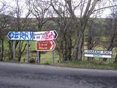
 
 
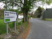
Lisnaragh Road - Geograph - 708502.jpg
Lisnaragh Road
This colourful assortment of signs is to be seen at the roadside at Doorat
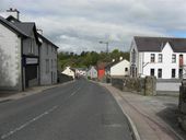
A5, Duncastle Road, Donemana - Geograph - 1847635.jpg
A5, Duncastle Road, Donemana
Heading NNE
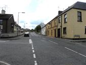
B48, Lisnaragh Road, Donemana - Geograph - 1847660.jpg
B48, Lisnaragh Road, Donemana
Heading north-west towards the village centre
Lisnaragh Road, Donemana - Geograph - 1847672.jpg
Lisnaragh Road, Donemana
Heading south-east towards Plumbridge
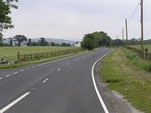
Tagharina - Geograph - 206144.jpg
Tagharina
The road is heading northwards to New Buildings
 

SABRE - The Society for All British and Irish Road Enthusiasts
Discuss - Digest - Discover - Help