Gallery:B5367
From Roader's Digest: The SABRE Wiki
Jump to navigation
Jump to search
B5300-B5399 > B5367
This gallery has no child categories
B5367
Black Bank Road (C) Steve Lewin
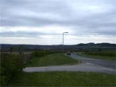
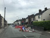
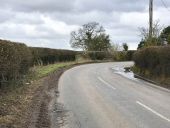
View down Black Bank Rd looking towards Knutton. On the left is the car park for Apedale Country Park.
View down Black Bank Rd looking towards Knutton. On the left is the car park for Apedale Country Park.
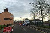
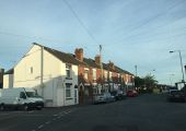
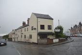
The High Street B5367 is on the left. This building was once the home of Rileys ironmongers and seedsmen. The firm has now moved to the opposite side of the road - see http://www.geograph.org.uk/photo/4489515. Later it housed a vegetarian restaurant called The Bosted Onion until about 2008, but is now given over entirely to residential use.
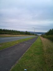
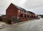
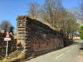
Here the railway crossed Shraleybrook Road. The corresponding wall on the other side of the road was dismantled early in 2015; see http://www.geograph.org.uk/photo/4415158.
Hidden categories:
