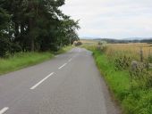
Gallery:B993

From Roader's Digest: The SABRE Wiki
Jump to navigation Jump to search
B900-B999 > B993


This gallery has no child categories
B993
 
 
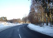
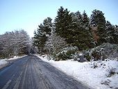
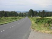
B993 to Torphins - Geograph - 1638802.jpg
B993 to Torphins
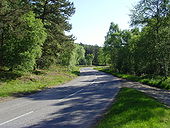
B993 west of Potarch - Geograph - 1326534.jpg
B993 west of Potarch
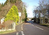
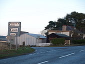
Crossroads in Torphins - Geograph - 1123207.jpg
Crossroads in Torphins
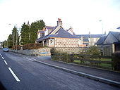
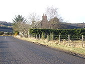
Cottage on B993 - Geograph - 1123198.jpg
Cottage on B993
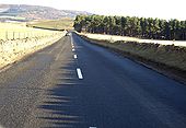
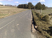
B993 from A93 to Torphins - Geograph - 1123150.jpg
B993 from A93 to Torphins
B993 and Beltie Burn - Geograph - 1117077.jpg
B993 and Beltie Burn
B993 near Newton - Geograph - 1116905.jpg
B993 near Newton
B993 down Learney Hill - Geograph - 1068260.jpg
B993 down Learney Hill
B993 through Turks Wood - Geograph - 1068190.jpg
B993 through Turks Wood
East Gate to Learney - Geograph - 1068111.jpg
East Gate to Learney
B993 nearing East Gate to Learney - Geograph - 1068094.jpg
B993 nearing East Gate to Learney
Access to Dunswell - Geograph - 1068072.jpg
Access to Dunswell
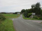
Entry to Torphins from the south - Geograph - 1059810.jpg
Entry to Torphins from the south
Old Toll Cottage, Monymusk - Geograph - 919033.jpg
Old Toll Cottage, Monymusk
B993 towards Whiterashes - Geograph - 768081.jpg
B993 towards Whiterashes
Junction of B993 and B994 - Geograph - 648589.jpg
Junction of B993 and B994
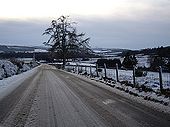
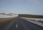
Winter Chill - Geograph - 356776.jpg
Winter Chill
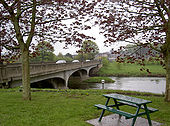
A96 Inverurie - Coppermine - 2316.jpg
A96 Inverurie

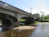
Well, strictly speaking it's the B993, but this is the old A96 bridge across the River Don before the bypass was built.

Originally uploaded to Coppermine on May 26, 2005 by Queeg
B993 near Newton - Geograph - 1693826.jpg
B993 near Newton
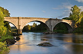
Upstream of the bridge at Potarch - Geograph - 1354239.jpg
Upstream of the bridge at Potarch
Thomas Telford's bridge over the River Dee at Potarch was built almost 200 years ago.
The bank of the river at Potarch is a popular spot for visitors on warm days during the summer. At other times of the year salmon fishing is the main pastime.
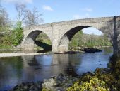
Potarch Bridge - Geograph - 1289297.jpg
Potarch Bridge Built between 1811-1813 by Thomas Telford, at a time when the 'Great North Road' linking Edinburgh and Inverness passed over the Cairn O' Mount ([[[9183]]]) and through Potarch. The route of the modern A9 ([[[305637]]]) did not become the main north-south route until the late 19th century.
Roadside Cottage, approached from the east - Geograph - 1130826.jpg
Roadside Cottage, approached from the east
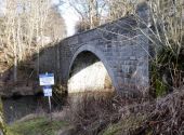
Anglers' access to River Urie - Geograph - 5694400.jpg
Anglers' access to River Urie Via a pathway alongside B993; with an advisory notice to visitors close upstream of Keith Hall Road Bridge.
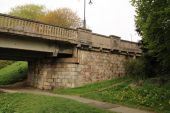
Inverurie-br1.jpg
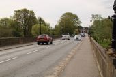
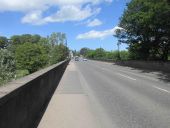
Inverurie Bridge across the Don on the B993, former A96
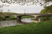
Inverurie-br.jpg
Inverurie Bridge across the Don on the B993, former A96
Inverurie-br3.jpg
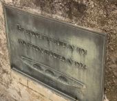
Inverurie Bridge across the Don on the B993, former A96 date plaque
Inverurie-br2.jpg
Looking Across Inverurie Bridge across the Don on the B993, former A96 date plaque
Inverurie-bypass-br1.jpg
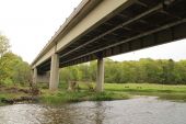
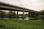
Inverurie bypass Bridge across the Don on the A96
Inverurie-bypass-br2.jpg
Inverurie bypass Bridge across the Don on the A96
B993 towards Kemnay.jpg
The B993 at Pine Lodge, heading to Kemnay from Inverurie
Inverurie Bridge.jpg
Inverurie Bridge from the north bank of the River Don.
North over Inverurie Bridge.jpg
Looking northwards over Inverurie Bridge to the town from Port Elphinstone.
B993 at Keithhall.jpg
The B993 westbound at the crossroads at Keithhall.
B993 westbound near Flawells.jpg
The B933 heading west to Inverurie near Flawells.
 

SABRE - The Society for All British and Irish Road Enthusiasts
Discuss - Digest - Discover - Help