Gallery:Bitterne bypass
From Roader's Digest: The SABRE Wiki
Jump to navigation
Jump to search
This gallery has no child categories
Bitterne bypass
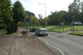
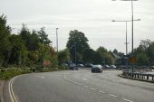
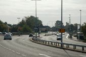
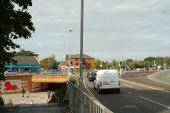
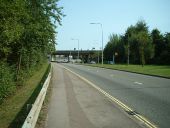
A bit further on. GSJ just visible in the distance. Speed cameras - limit is 30 despite no accesses and GSJ!
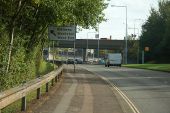
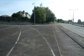
Once across the exit slip you have the choice of the painted lines guiding you to the on slip, or the sunken channel going straight along the main road
Looking on to the A334 junction, where there is a lane drop. The A334 lane is free flowing, but the two A3024 lanes stop at traffic lights.
Looking on down the A3024. The bypass ends at the far set of lights, and with it the dual carriageway.
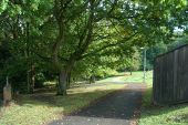
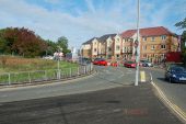
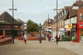
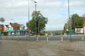
Approaching from the A334, you can see that this is the line of the original high street. A pedestrian underpass allows it to be accessed now.
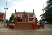
The Red Lion pub stands at the junction between what used to be the A344 to Botley - now pedestrianised - and what used to be the A3024 to Bursledon - now a quiet dead end.
The Lion statue in front of the pub has no connection to the Red Lion. It used to be on top of shops in Lion Place, about 150 yards behind the pub that in the 1840s to 1920s was the shopping heart of the village.
For views of how the pub used to look, see: http://bitterne.net/gallery/The_Lion.html.End of the High Street. Opposite is the top of Lance's Hill, which joins the A3024 at the bottom of the bypass
Maybray King Way, Bitterne, Southampton
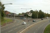
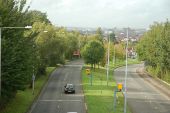
Looking West along Maybray King Way, Bitterne from the Westend Road bridge. This bridge offers superb views right across the city. At the bottom of the photo, a speed camera lies in wait.
Looking West along Maybray King Way, Bitterne from the Westend Road bridge. This bridge offers superb views right across the city. At the bottom of the photo, a speed camera lies in wait.
A3024 Bitterne Road West
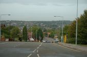
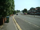
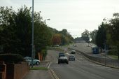
Looking uphill towards the start of the Bitterne bypass, aka Maybray King Way, which veers round to the left. The old road continued straight up the hill and through the centre of Bitterne.
Originally uploaded to Coppermine on Aug 31, 2005 by sotonsteveA3024 Maybray King Way
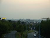
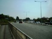
Ten out of the eleven speed cameras in Southampton go round in pairs. This pair is located on the least developed part of the A3024 and enforces a 30mph limit.
Originally uploaded to Coppermine on Aug 31, 2005 by sotonsteveA3024 Maybray King Way
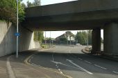
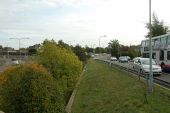
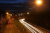
Viewed from the eastbound onslip from West End Road. This bypass was built in the early 1980s to bypass the centre of Bitterne in Southampton. It has a 30mph speed limit.
Originally uploaded to Coppermine on Aug 31, 2005 by sotonsteveHidden category:
