Gallery:Bracknell
From Roader's Digest: The SABRE Wiki
Jump to navigation
Jump to search
Places in South East England > Bracknell
This gallery has no child categories
Bracknell
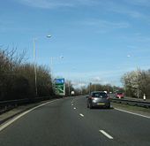
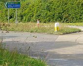
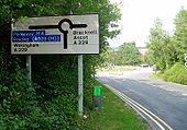
Approaching Start of A329(M)
Approaching A329(M) from Bracknell on 22nd March 2008.
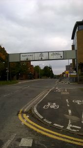
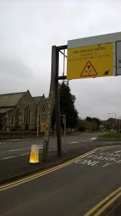
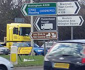
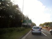
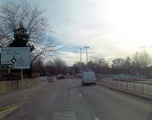
Originally uploaded to Coppermine on Mar 30, 2009 by YorklettsNon standard gantry in Bracknell. Interestingly this horribleness replaces a much more readable gantry, as can still be seen on Google Street View:
https://www.google.co.uk/maps/@51.416204,-0.7469267,3a,75y,191.68h,87.59t/data=!3m7!1e1!3m5!1soInuYhOPz69T8zcEp8kCfQ!2e0!5s20140501T000000!7i13312!8i6656
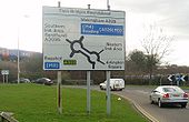
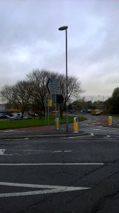
The Ring at Weather Way Junction, Bracknell with bollard to Pass Either Side to Reach Same Destination. Which is not true here.
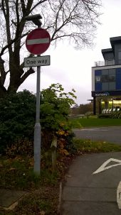
Also note that the Ring right from here is now two way.
Bracknell A329 Berkshire Way @ Twin Bridges Rbt
Originally uploaded to Coppermine on Aug 13, 2009 by M4Mark
Bracknell A329 Berkshire Way @ Doncastle Road Rbt
Originally uploaded to Coppermine on Aug 13, 2009 by M4Mark
Bracknell Doncastle Road Rbt A329 Berkshire Way
Originally uploaded to Coppermine on Aug 13, 2009 by M4Mark
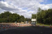
Cones at the junction of A322 and Nine Mile Ride, Bracknell They appear to be relaying the surfaces and little else, and also cleared all the greenery from the roundabout circle.
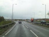
A329 revised junction The dual carriageway to Bracknell has been revised to give access to the new Jennetts Park development. As yet the maps haven't caught up with reality.
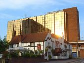
The Red Lion and Eagle House, Bracknell The Red Lion is one of the surviving buildings from a time when Bracknell was just a couple of villages and countryside. The new town was established in 1949 to provide homes and a better environment to live in for Londoners. The copper-tinted office block is on the edge of and above the town's main shopping centre. It reflects a derelict one that towers over the market place which is to the left of the pub.
