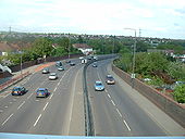
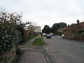
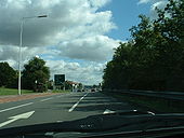
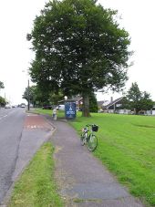
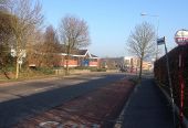
A12 Eastern Avenue (Wanstead)
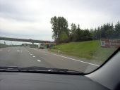
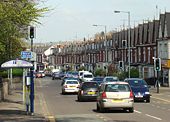
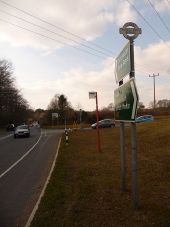
Looking east from footbridge at the Wanstead turn-off. Note that traffic coming out of the tunnel under George Green eastbound is joined by a lane from the on-slip to make three lanes, but the westbound is two lanes all the way from Redbridge.
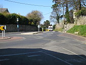
Originally uploaded to Coppermine on May 08, 2006 by Sunil_of_Yoxley Southeast Dublin near Killiney Village, DLRCC have taken to striping poles again!
Originally uploaded to Coppermine on Mar 24, 2007 by murphaph
N11
The N11 as it passes through the town of Ferns, Co. Wexford. This is on a quiet Sunday in July, normally this road would be extremely busy with traffic heading to and from Rosslare.
Originally uploaded to Coppermine on Aug 31, 2008 by prayspot Sutton Road in Kidderminster
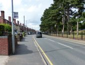
On the right is Brinton Park.
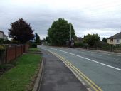
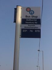
Wolverhampton Road West (B4464)
Heading east.
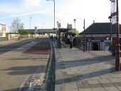
Acton Lane and Harlesden station
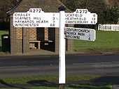
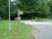
Signpost in Newick, West Sussex
This photo was taken on the Sussex Road Trip in December 2005, and shows a beautiful finger post from the village of Newick on the A272. probably the only sign which shows both Winchester and Canterbury on the same post.
Originally uploaded to Coppermine on Mar 19, 2006 by Brenley Corner A114 Whipps Cross Road
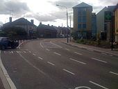
Looking west near Green Man, Leytonstone
Originally uploaded to Coppermine on Sep 10, 2006 by Sunil_of_Yoxley Half built bus stop
On new road parallel to Dublin-Cork railway line, just over the fence. The wall is actually a bridge support for a bridge spanning the road and railway.
Originally uploaded to Coppermine on Dec 01, 2007 by murphaph Wooden bus stop
For those into signs, a rare(?) wooden bus stop sign. A wooden bus turned up shortly afterwards.
Originally uploaded to Coppermine on Jun 29, 2007 by SteveA30 Old bus stop
Old brick bus stop and 30 repeater in the seaside village of Millisle, County Down. The post reads 'UTA Stage' (Ulster Transport Authority)
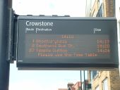
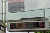
Originally uploaded to Coppermine on Jul 29, 2007 by explo Train-style bus stop indicator board, along A13 London Road near Westcliff, Southend
A lot more sophisticated than 'Countdown' in London!
Originally uploaded to Coppermine on Aug 23, 2007 by Sunil_of_Yoxley Lithuania
A bus stop on a motorway? We are near Kaunas and the road changes soon from a D2M with a speed limit of 130 kph to a D2 with a speed limit of 110 kpm.
Originally uploaded to Coppermine on Oct 07, 2006 by Octaviadriver Lisburn Road, Belfast (A1, looking SW)
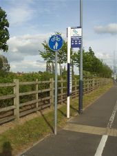
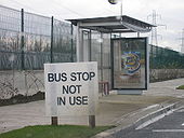
Shared Footpath and Bus Stop Pole Sign Prologis Park Coventry
Shared footpath sign and latest example of bus stop/information sign in the West Midlands PTE (network west midlands is their latest name) area. Winding House Lane Prologis Park Coventry. May 8 2007
Originally uploaded to Coppermine on May 08, 2007 by leekman Bus stops on the B5320 at Tirril
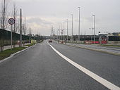
New road and bus stops in West Dublin
This is the current standard bus stop type being installed across the city. Most all new roads built around here of late have continuous buslanes throughout, something I totally agree with as it is good futureproofing.
Originally uploaded to Coppermine on Dec 01, 2007 by murphaph New road and bus stops in West Dublin
Still finishing some bits off but the road is open. Very quiet though.
Originally uploaded to Coppermine on Dec 01, 2007 by murphaph Spring Cottage Road, Overseal The Navigation Inn is to the left.
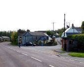
Havant bound bus stop on the B2146 at Funtington
A12 Colchester Road
Approach signage for the M25 up ahead, but immediately in front is the final at-grade junction inside Greater London, with unclassified Petersfield Avenue in Harold Hill.
Originally uploaded to Coppermine on Sep 02, 2006 by Sunil_of_Yoxley The A1 is ahead Junction with jockey Lane onto the A1 prior to the upgrade work
Bus stop on R849 Bishopstown Road
Mahon Point Road facing the junction with Skehard Road. The R852 turns left at the traffic lights and continues through Blackrock and on to Cork city centre. Just off to the right is the Central Statistics Office (CSO).
Bus information display, Ballyhackamore, Belfast (June 2014) The electronic timetable (
714733), at this stop
4017995, on the Upper Newtownards Road. Services are sparse early on a Sunday morning. Whether the rapid transit buses will be equipped to allow a ???bus approaching??? display has not been disclosed. The information relates to Metro services only.
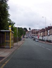
Argyle Street South, Birkenhead Looking away from Birkenhead Central Station, up towards Tranmere.
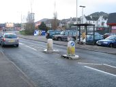
Pendavey Hill, Sladesbridge (2)
Stupid place to put a pedestrian refuge
Whenever a bus is stopped here no one can pass due to this island
Originally uploaded to Coppermine on Dec 09, 2006 by Glen Abbeydale Road, Sheffield
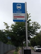
New format of bus stop sign used by Bus Eirann in the Republic of Ireland
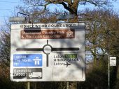
Kidney Wood Roundabout Roadsign Advance Direction Sign on the A1081 London Road, when the junction was a flat roundabout
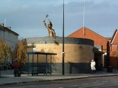
Fly Swatting Public toilets Majors Corner Ipswich Suffolk with sculpture swatting flies.
Morden- Park Corner A busy and hazardous crossroads at the northeast corner of Morden Park, which gives the junction its name. The slightly staggered junction of the B3075 along with the bend in the A35 at this point, hinders visibility in all directions. Today, there are temporary traffic lights governing the junction, although there is no sign of roadworks ??? so perhaps it's an experiment to see if lights would improve the junction's safety.
Note that the modern signage retains the traditional finial from the original finger-post ??? giving location and grid reference.
Moor End Road, Towards Stockport
Stag Lane underpass, SW15 The road above is the A3 Roehampton Vale. The underpass was built for local traffic and visitors for ASDA (on the right), Putney Vale cemetery & crematorium, the nearby housing estate and The Richardson Evans Memorial Ground.
Bus stop, Boleran Road Looking north-west
Bus stop and shelter on Stevenage Road Looking west.
Lemsford village Looking towards Welwyn.
Tippendell Lane, Chiswell Green This image of Tippendell Lane was taken at dusk on a September evening.
White Hill looking towards Mount Vernon Hospital
New Lane, Harmer Green, Hertfordshire As seen from close to the pond.
A10 in N18 - frontage road behind bus stop
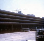
New Bus Station From Tithebarn Street
Preston 1971
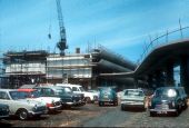
Preston Bus Station Under Construction 1969
