From Roader's Digest: The SABRE Wiki
Jump to navigation
Jump to search
C11 Torr Road in Renfrewshire
This gallery has no child categories
C11 (Renfrewshire)
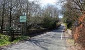
Entering Inverclyde from Renfrewshire at the Carruth Burn bridge.
Entering Renfrewshire from Inverclyde at the Carruth Burn bridge.
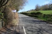
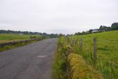
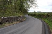
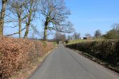
Torr Road Looking towards Bridge of Weir, near Torr Cottage.
Torr Road, Bridge of Weir
Torr Road, Bridge of Weir
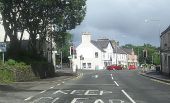
Torr Road junction with Main Street Bridge of Weir
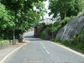
Torr Road Looking down the hill towards the former Princes Pier railway line.
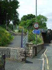
National Cycle Network Route 75 The access point at Torr Road.
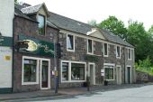
Shimla Cottage On Torr Road at Main Street, Bridge of Weir. The C11 (Renfrewshire) at the junction with the A761.
Torr Road Main Street is on the right.
Torr Road Looking towards the junction at Torr Hall.
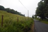
Torr Road Looking up the hill near Torr Hall.
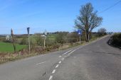
Torr Road At the junction with the minor road to Quarriers Village. Nor the broken old style finger post.
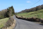
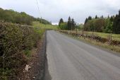
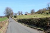
Torr Road Looking towards East Torr Farm.
Torr Road Looking towards East Torr Farm, which can be seen in the distance.
