Gallery:C321 (Northern Ireland)

From Roader's Digest: The SABRE Wiki
Jump to navigation Jump to search
Class III Roads (Northern Ireland) > C321 (Northern Ireland)


This gallery has no child categories
C321 (Northern Ireland)
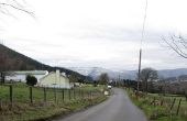
 
 
Newtown Road between the Industrial Estate and Rostrevor - Geograph - 3374387.jpg
Newtown Road between the Industrial Estate and Rostrevor
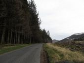
View north along Sandbank Road - Geograph - 3375700.jpg
View north along Sandbank Road The trees on the left are on the eastern slopes of Cortlieve Mountain. The trees on the right hand side have been cut fairly recently.
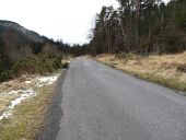
Sandbank Road north of the Yellow Water Picnic Area - Geograph - 3375725.jpg
Sandbank Road north of the Yellow Water Picnic Area
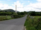
The New Bridge spanning the River Bann on Sandbank Road - Geograph - 4073360.jpg
The New Bridge spanning the River Bann on Sandbank Road Just east of the bridge the Bann is joined by the Kinnahalla River.
 

SABRE - The Society for All British and Irish Road Enthusiasts
Discuss - Digest - Discover - Help