Gallery:Causeway Coastal Route
From Roader's Digest: The SABRE Wiki
Jump to navigation
Jump to search
Tourist Routes in Northern Ireland > Causeway Coastal Route
Causeway Coastal Route
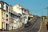
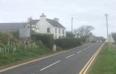
Clare Road, Ballycastle
The continuation of North Street <a href='http://www.geograph.org.uk/photo/1258726'>D1241 : North Street, Ballycastle (2)</a>, via a 1in10 hill, towards the Giant�s Causeway and Portrush.
The continuation of North Street <a href='http://www.geograph.org.uk/photo/1258726'>D1241 : North Street, Ballycastle (2)</a>, via a 1in10 hill, towards the Giant�s Causeway and Portrush.
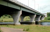
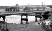
The Sandelford Bridge, Coleraine (1980)
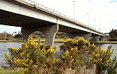
The Sandelford Bridge, Coleraine (2)
The Sandelford Bridge, Coleraine (3)
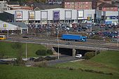
Flyover, Coleraine
The Sandelford Bridge, Coleraine
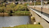
See <a href='http://www.geograph.org.uk/photo/190450'>C8431 : Coleraine ring road</a>. The Sandelford Bridge carries the ring road across the Bann. It was the vantage point for <a href='http://www.geograph.org.uk/photo/728957'>C8431 : The River Bann, Coleraine</a>. The river is flowing from right to left.
See <a href='http://www.geograph.org.uk/photo/190450'>C8431 : Coleraine ring road</a>. The Sandelford Bridge carries the ring road across the Bann. It was the vantage point for <a href='http://www.geograph.org.uk/photo/728957'>C8431 : The River Bann, Coleraine</a>. The river is flowing from right to left.
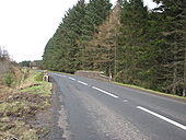
Coleraine ring road
The Coleraine ring road takes most through traffic away from the town centre. The section from the Lodge Road to the Strand Road crosses the River Bann by a box-girder bridge called the Sandelford Bridge. This is the view across the bridge to the Strand Road.
The Coleraine ring road takes most through traffic away from the town centre. The section from the Lodge Road to the Strand Road crosses the River Bann by a box-girder bridge called the Sandelford Bridge. This is the view across the bridge to the Strand Road.
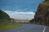
THE MUSSENDEN ROAD, COLERAINE
Picture by Wee Hughie
Nominated by Schult for POTM May 2008.
I like lots of Wee Hughie's photos. This one in particular because of the promise of sunny days (yeah, right) after all this snow. There's no sky - just the appearance of a wall of sea rising beyond, and the balance of light and colour is spot on for my taste.
Go to WH's album for full size version of this.
Originally uploaded to Coppermine on Apr 20, 2008 by SchultThe Shore Road near Greenisland (1)
See <a href='http://www.geograph.org.uk/photo/733462'>J3784 : The Shore Road near Jordanstown</a>. The road, in this square, looking towards Belfast. This section is expected to be bypassed by the new road.
See <a href='http://www.geograph.org.uk/photo/733462'>J3784 : The Shore Road near Jordanstown</a>. The road, in this square, looking towards Belfast. This section is expected to be bypassed by the new road.
The Bla Hole, Whitehead
The Carrickfergus � Larne road on the top of the Bla Hole, above the railway tunnel <a href='http://www.geograph.org.uk/photo/312301'>J4791 : Whitehead Tunnel</a>. The old quarry <a href='http://www.geograph.org.uk/photo/428933'>J4791 : The old quarry, Whitehead</a> lies far below to the upper right. On a reasonably clear day there are views to Ailsa Craig <a href='http://www.geograph.org.uk/photo/1199426'>NX1288 : Towards Ailsa Craig</a>.
The Carrickfergus � Larne road on the top of the Bla Hole, above the railway tunnel <a href='http://www.geograph.org.uk/photo/312301'>J4791 : Whitehead Tunnel</a>. The old quarry <a href='http://www.geograph.org.uk/photo/428933'>J4791 : The old quarry, Whitehead</a> lies far below to the upper right. On a reasonably clear day there are views to Ailsa Craig <a href='http://www.geograph.org.uk/photo/1199426'>NX1288 : Towards Ailsa Craig</a>.
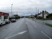
The Bank Road, Larne
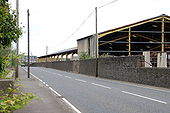
The Bank Road is the road to Carrickfergus. The buildings on the right were used for the storage of coal imported at the Bank Quay. The quay closed to shipping in 1995 and remains unchanged although showing the effects on non-use. This is the view towards Larne.
The Bank Road is the road to Carrickfergus. The buildings on the right were used for the storage of coal imported at the Bank Quay. The quay closed to shipping in 1995 and remains unchanged although showing the effects on non-use. This is the view towards Larne.
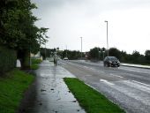
The Shore Road near Jordanstown
See <a href='http://www.geograph.org.uk/photo/722901'>J3784 : The Shore Road, Jordanstown</a>. The road, to the NE of the previous photo, looking towards Belfast. This section of the road is to be dualled and will include a roundabout where I am standing. The land for it was reserved many years ago.
See <a href='http://www.geograph.org.uk/photo/722901'>J3784 : The Shore Road, Jordanstown</a>. The road, to the NE of the previous photo, looking towards Belfast. This section of the road is to be dualled and will include a roundabout where I am standing. The land for it was reserved many years ago.
Traffic lights near Larne
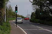
The bridge carrying the Carrickfergus � Larne road over the railway at the Bank Road, Larne <a href='http://www.geograph.org.uk/photo/407129'>D4001 : Railway near Larne</a> is skewed making it next to impossible for lorries to pass without crossing the white line. This set of lights is new and means that traffic no longer meets oncoming vehicles on the bridge. The view is towards Larne. The bridge is on the Bank Road, Larne. The lights and the photographer are on the Main Road, Glynn. See <a href='http://www.geograph.org.uk/photo/407154'>D4000 : Sign between Glynn and Larne</a>.
The bridge carrying the Carrickfergus � Larne road over the railway at the Bank Road, Larne <a href='http://www.geograph.org.uk/photo/407129'>D4001 : Railway near Larne</a> is skewed making it next to impossible for lorries to pass without crossing the white line. This set of lights is new and means that traffic no longer meets oncoming vehicles on the bridge. The view is towards Larne. The bridge is on the Bank Road, Larne. The lights and the photographer are on the Main Road, Glynn. See <a href='http://www.geograph.org.uk/photo/407154'>D4000 : Sign between Glynn and Larne</a>.
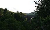
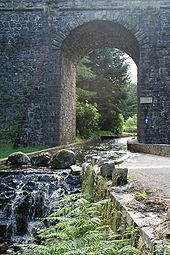
The Corratavey (or Irish) bridge
This fine arch carries the main road (A2) between Cushendall and Ballycastle over the Corratavey burn. The road under it is part of the 10km drive around Ballypatrick Forest. The driver must negotiate a shallow ford to pass under the bridge as the carriageway and the stream combine under the span. The bridge was built in 1834 by William Bald. He was also one of the chief engineers of the Cushendall to Ballycastle road.
This fine arch carries the main road (A2) between Cushendall and Ballycastle over the Corratavey burn. The road under it is part of the 10km drive around Ballypatrick Forest. The driver must negotiate a shallow ford to pass under the bridge as the carriageway and the stream combine under the span. The bridge was built in 1834 by William Bald. He was also one of the chief engineers of the Cushendall to Ballycastle road.
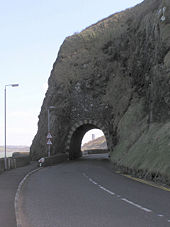
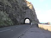
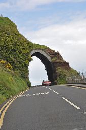
The Red Arch was built in 1817 by Francis Turnly, a local landowner, ,just north of the village of Carnlough. Previously a narrow and steep road had to be navigated in order to cross the headland. The arch is built of red standstone.
TO AND FROM THE FERRIES AT LARNE
The Harbour Highway is the Larne bypass on the A8 from Belfast. There is about another mile (and two roundabouts) before the harbour. The harbour is to the right. 7 March 2007.
Originally uploaded to Coppermine on Mar 07, 2007 by Wee HughieTHE MUSSENDEN ROAD, COLERAINE
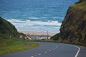
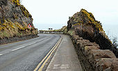
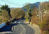
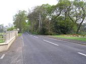
The Mussenden Road (part of the A2 Coleraine-Limavady road) approaching Downhill, Co Londonderry. The north Atlantic forms the background. 2 August 2006.
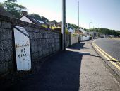
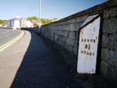
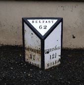
Originally uploaded to Coppermine on Jan 25, 2007 by Wee HughieMilepost near Ballycastle
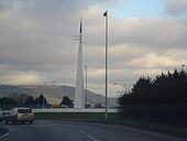
Roundabout linking the A2 to the Shore Road
The monument at the roundabout linking the A2 to the Shore Road. This depicts the monks pointed hat in blue (Whiteabbey) and the white arrows the sails of a yacht.
The monument at the roundabout linking the A2 to the Shore Road. This depicts the monks pointed hat in blue (Whiteabbey) and the white arrows the sails of a yacht.
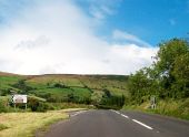
The Glenaan Turnoff for Ballymoney on the A2 The turnoff is located some 2kms north-west of the town of Cushendall. The road is also known as the Glenaan Scenic Route.


