Gallery:Central London
The A1 has lots of old sections. The most South of this is to be found in the heart of the City of London. Before it declasfation due to the IRA bombing campain back in the 1970's & 80's, this was part of the A1. Quite bendy too. This in the old days would have been the first miles of the A1. It is a very long way from Edinburgh where it froms the border to Zone 6 and meets the A7 & A8. In London it was the A4.
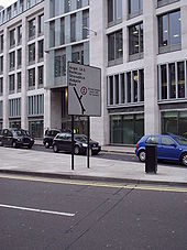
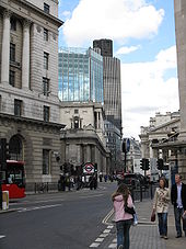
Originally uploaded to Coppermine on Oct 22, 2006 by ABeatonThis is where the A1 now stats, here just a 100 metres from St. Paul Cathfual. Well more the end. This is where it all ends for the A1 after it jureny from Scotland.
Originally uploaded to Coppermine on Oct 22, 2006 by ABeaton...............or is it? This is next to St Paul's Cathedral. Road numbers rarely appear on road signs within London's Inner Ring, but there's one here. But why is it in brackets - the road to the Angel IS the A1
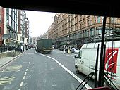
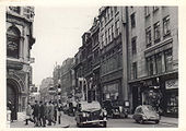
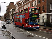
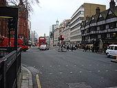
Originally uploaded to Coppermine on Apr 15, 2005 by t1(M)Another bus lane and that little store where you can buy anything apparently. I'll have a time warp holiday in 1964 please.
Originally uploaded to Coppermine on Feb 03, 2008 by SteveA30Junction of Oxford Street. From left: Keep Left, No Entry, two traffic lights.
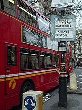
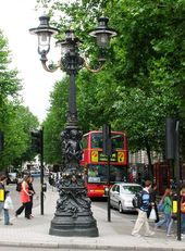
Originally uploaded to Coppermine on Mar 18, 2009 by DavidNW9One of two found in this area of central London: a bit battered, but still doing the job it was put up for nearly fifty years ago
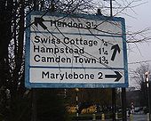
Originally uploaded to Coppermine on Apr 12, 2005 by t1(M)A blue border here - now these are obsolete as well as all non-primary roads now have (thin) black borders. This thick blue border is probably a hangover from the old signs. Note that there's no roundabout sign here (it's a proper rbt, not a mini one). I like the fact that these old signs all have distances on them - sadly many new ones don't
OP Tom
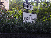
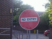
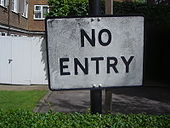
Originally uploaded to Coppermine on Mar 11, 2005 by M4SimonThere are a selection of pre-Worboys style signs all over the Crown Estate in Regents Park, and this is a normal no entry of the era without a red circle.
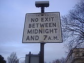
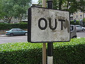
Originally uploaded to Coppermine on Dec 02, 2009 by DavidNW9One of two (?) remaining old style entry time signs on a gate out of Regents Park
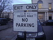
Originally uploaded to Coppermine on Dec 02, 2009 by DavidNW9The Crown Estate have their own pre-Worboys style signs, the one below is the original type and the one above the modern version.
Originally uploaded to Coppermine on Dec 02, 2009 by DavidNW9The Crown Estate make their own signs, and have quite a few from the old set still standing, the small one underneath is the newer style.
Originally uploaded to Coppermine on Dec 02, 2009 by DavidNW9A pretty good replica in North Finchley
Originally uploaded to Coppermine on Sep 04, 2009 by DavidNW9Current research suggests that as on a public road and using the exact format of every other national information sign this should be an official pre-Worboys.
Originally uploaded to Coppermine on Jul 28, 2009 by DavidNW9The pole confirms the age of the sign. Now confirmed as pre-Worboys as seen the same pair on an old photo on Knightsbridge.
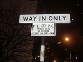
Originally uploaded to Coppermine on Jul 23, 2009 by DavidNW9At the exit to a block of flats in St Johns Wood. As it was made in the pre-Worboys style and era they should have used a genuine one as facing a public road.
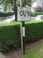
Originally uploaded to Coppermine on Jul 23, 2009 by DavidNW9This was on a striped pole in the normal font and style for the pre-Worboys direction signs in St Johns Wood.
Originally uploaded to Coppermine on Jul 23, 2009 by DavidNW9Are we meant to use a periscope to read it?
Kilburn, 21st May 2009.
Originally uploaded to Coppermine on May 21, 2009 by horsetanAt the entrance to Richmond Park - yet another example of poor signposting in the Royal Parks
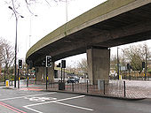
Originally uploaded to Coppermine on May 10, 2009 by t1(M)The flyover takes eastbound traffic from the New Kent Road onto the New Kent Road (A2) without having to queue for the roundabout <a href='http://www.geograph.org.uk/photo/1766285'>TQ3379 : Bricklayers Arms roundabout (1)</a>. See also <a href='http://www.geograph.org.uk/photo/1766308'>TQ3278 : Bricklayers Arms flyover (1)</a>.
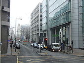
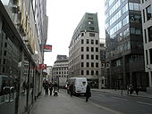
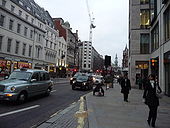
Looking down Threadneedle Street towards the junction with Old Broad Street.
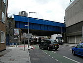
The nearer bridge carries the railway lines leading from Waterloo East to Hugnerford Bridge and Charing Cross station. The further bridge formerly carried a rail link into Waterloo Main Line, but this was taken out many years ago and the bridge subsequently carried a footway, but that has now been transferred to a higher level.
Looking upstream from Tower Bridge, we see firstly London Bridge, then the Cannon Street rail bridge, then the Millennium footbridge and finally Blackfriars Bridge (the rail bridge at Blackfriars obscuring the road bridge just beyond). These are the only bridges that cross into the boundaries of the City of London (on the northern bank, right).
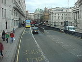
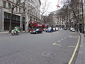
Looking across this busy road, during a break in traffic, towards Shell Mex House; on the right of picture.
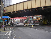
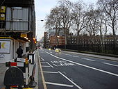
Looking towards Blackfriars Road, near junction of Bear Lane. The railway bridge carries trains out of Blackfriars.
Strand is a street in the City of Westminster, London, England. It is just over 3/4 of a mile long. It currently starts at Trafalgar Square and runs east to join Fleet Street at Temple Bar.
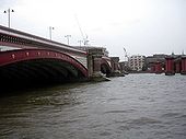
High tide on the Thames between the Blackfriars road (on the left) and rail bridges. Looking towards the north bank.
It is unusual to see people strolling in the road within the City of London, even on a Saturday but these people are quite safe. It is closed for a Mediaeval Market- just one of a number of events organised as part of the 2008 London Festival of Architecture.
A special envoy makes its way through Aldwych. Wonder who it could be? Did make us think Gordon Brown had called an election as he passed.
Looking down from the high-level walkway from the Barbican (behind the photographer) to the Barbican underground station (just out of shot to the right).
Aldersgate Street on the left and Long Lane top right.
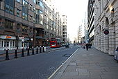
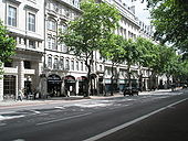
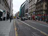
High Holborn is a road in Holborn in central London. Here there is a bus stop, a Santander and a Lloyds TSB.
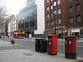
Looking north from near the junction with Holborn; shows the location of <a href='http://www.geograph.org.uk/photo/1266722'>TQ3181 : Edward VII postbox, Gray's Inn Road / Holborn, WC1</a>.
