From Roader's Digest: The SABRE Wiki
Jump to navigation
Jump to search
This gallery has no child categories
Central Sperrins Scenic Driving Route
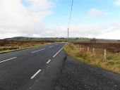
Barony Road, Binnafreaghan (C) Kenneth Allen
Heading WNW
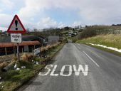
B47 Glenelly Road, Glenchiel (C) Kenneth Allen
Heading WSW towards Plumbridge
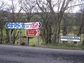
Lisnaragh Road
This colourful assortment of signs is to be seen at the roadside at Doorat
Lisnaragh Road, Donemana
Heading south-east towards Plumbridge
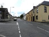
B48, Lisnaragh Road, Donemana
Heading north-west towards the village centre
Main Street, Strabane
Looking NNW at the turn-off to Bridge Street
Derry Road, Strabane
Leaving Strabane and heading to Derry / Londonderry
