Gallery:Cheltenham

From Roader's Digest: The SABRE Wiki
Jump to navigation Jump to search


This gallery has no child categories
Cheltenham
 
 
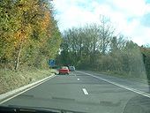
A435 - Coppermine - 15897.jpg
A435

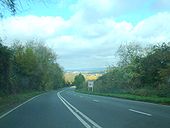
I had never done the bit of A435 from A436 to Cheltenham so, obviously had to rectify that. This is the descent into Cheltenham, 1 mile of S2/1.

Originally uploaded to Coppermine on Nov 10, 2007 by SteveA30
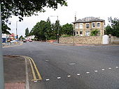
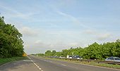
A40 - Coppermine - 15896.jpg
A40

Climbing out of Cheltenham eastwards.

Originally uploaded to Coppermine on Nov 10, 2007 by SteveA30
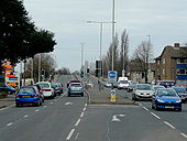
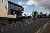
Sixways, Charlton Kings - Geograph - 33388.jpg
Sixways, Charlton Kings
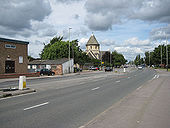
Tewkesbury Road, Cheltenham 1 - Geograph - 1187351.jpg
Tewkesbury Road, Cheltenham 1
Tewkesbury Road, Cheltenham - Geograph - 870531.jpg
Tewkesbury Road, Cheltenham
Gloucester Road, Cheltenham - Geograph - 435057.jpg
Gloucester Road, Cheltenham
M5 near Cheltenham.JPG
M5 viewed southwards from a train near Cheltenham
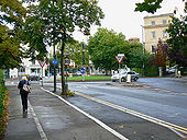
Lansdown Road near the Gordon Lamp, Cheltenham - Geograph - 1471991.jpg
Lansdown Road near the Gordon Lamp, Cheltenham
Bath Road, Cheltenham looking south from Bath Terrace - Geograph - 1127573.jpg
Bath Road, Cheltenham looking south from Bath Terrace
Lay by on the A40 heading towards the M5 motorway - Geograph - 810955.jpg
Lay by on the A40 heading towards the M5 motorway
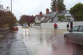
Old Bath Road bridge over the River Chelt during the July 2007 floods - Geograph - 1122932.jpg
Old Bath Road bridge over the River Chelt during the July 2007 floods
Arle Court Roundabout, Cheltenham - Geograph - 4027465.jpg
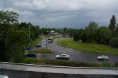
Arle Court Roundabout, Cheltenham Taken from the Golden Valley Travelodge.
B4632 dodgy signs 3.JPG
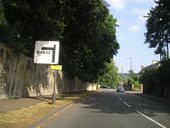
Dodgy patching on the B4632 in Cheltenham, presumably A46 is under the patch
1960s Cheltenham Town Centre Proposals.png
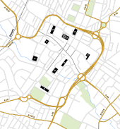
1960s proposals for Cheltenham town centre. The main feature is the Primary Distributor Road which acts as an inner ring road. In addition the town centre would be split into three compartments. Traffic can circulate freely within each compartment but cannot travel between compartments. Roads connecting the compartments are restricted to buses only and are shown in grey stripes on the map. The plan, especially the ring road, attracted many objections and was never carried out.
 

SABRE - The Society for All British and Irish Road Enthusiasts
Discuss - Digest - Discover - Help